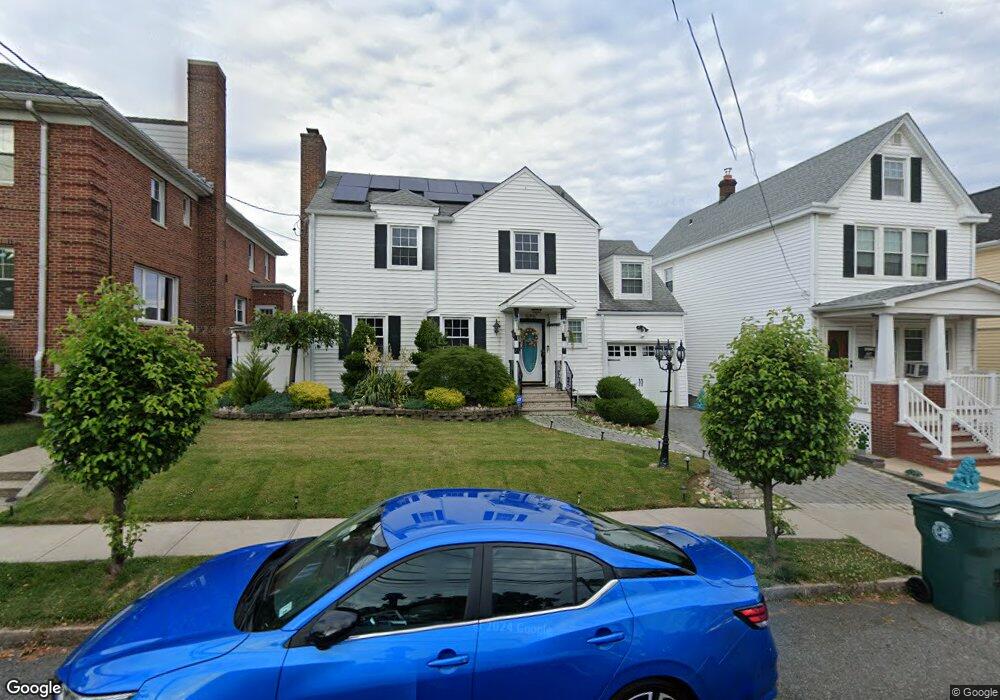
576 Hazel Ave Perth Amboy, NJ 08861
Chickentown NeighborhoodEstimated Value: $577,000 - $620,000
--
Bed
--
Bath
1,999
Sq Ft
$300/Sq Ft
Est. Value
About This Home
This home is located at 576 Hazel Ave, Perth Amboy, NJ 08861 and is currently estimated at $600,287, approximately $300 per square foot. 576 Hazel Ave is a home located in Middlesex County with nearby schools including Perth Amboy High School, Middlesex County STEM Charter School, and Academy for Urban Leadership Charter School.
Ownership History
Date
Name
Owned For
Owner Type
Purchase Details
Closed on
Apr 30, 2019
Sold by
Vargas Victor and Reyes Gloria
Bought by
Rodriguez Noel and Rosado Claribel C
Current Estimated Value
Home Financials for this Owner
Home Financials are based on the most recent Mortgage that was taken out on this home.
Original Mortgage
$353,479
Outstanding Balance
$313,360
Interest Rate
4.62%
Mortgage Type
FHA
Estimated Equity
$286,927
Purchase Details
Closed on
Jun 20, 2017
Sold by
Soto Luis and Soto Nancy
Bought by
Vargas Victor and Reyes Gloria
Purchase Details
Closed on
Aug 6, 2003
Create a Home Valuation Report for This Property
The Home Valuation Report is an in-depth analysis detailing your home's value as well as a comparison with similar homes in the area
Home Values in the Area
Average Home Value in this Area
Purchase History
| Date | Buyer | Sale Price | Title Company |
|---|---|---|---|
| Rodriguez Noel | $360,000 | River Edge Title Agency | |
| Vargas Victor | $342,000 | Mad Title Agency Llc | |
| -- | $200,000 | -- |
Source: Public Records
Mortgage History
| Date | Status | Borrower | Loan Amount |
|---|---|---|---|
| Open | Rodriguez Noel | $353,479 |
Source: Public Records
Tax History Compared to Growth
Tax History
| Year | Tax Paid | Tax Assessment Tax Assessment Total Assessment is a certain percentage of the fair market value that is determined by local assessors to be the total taxable value of land and additions on the property. | Land | Improvement |
|---|---|---|---|---|
| 2025 | $9,854 | $326,600 | $123,000 | $203,600 |
| 2024 | $9,834 | $326,600 | $123,000 | $203,600 |
| 2023 | $9,834 | $326,600 | $123,000 | $203,600 |
| 2022 | $9,716 | $326,600 | $123,000 | $203,600 |
| 2021 | $9,729 | $326,600 | $123,000 | $203,600 |
| 2020 | $9,726 | $326,600 | $123,000 | $203,600 |
| 2019 | $9,762 | $326,600 | $123,000 | $203,600 |
| 2018 | $9,677 | $326,600 | $123,000 | $203,600 |
| 2017 | $9,306 | $314,700 | $123,000 | $191,700 |
| 2016 | $9,063 | $314,700 | $123,000 | $191,700 |
| 2015 | $9,126 | $314,700 | $123,000 | $191,700 |
| 2014 | $9,183 | $290,100 | $123,000 | $167,100 |
Source: Public Records
Map
Nearby Homes
- 678 Bingle St
- 617 Lee St
- 693 Hanson Ave
- 6 Worden Ave
- 559 Compton Ave
- 552 Compton Ave
- 773 Colgate Ave
- 720 Donald Ave
- 689 Mary St
- 448 Baker Place
- 133 Howard St
- 744 Donald Ave
- 130-132 Judy Dr
- 485 Compton Ave
- 752 Donald Ave
- 113 Judy Dr Unit 115
- 424 Steadman Place
- 537 Harding Ave
- 113-115 Judy Dr
- 459 Brace Ave