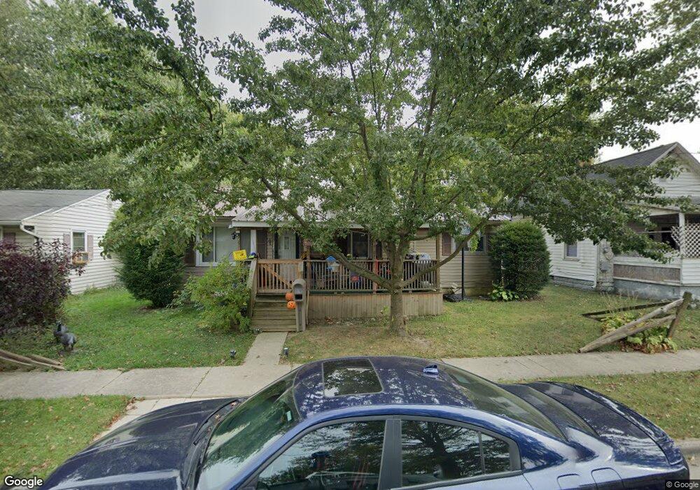
576 Polk St Marion, OH 43302
Estimated Value: $99,000 - $115,797
3
Beds
1
Bath
936
Sq Ft
$114/Sq Ft
Est. Value
About This Home
This home is located at 576 Polk St, Marion, OH 43302 and is currently estimated at $106,699, approximately $113 per square foot. 576 Polk St is a home located in Marion County with nearby schools including William H. Taft Elementary School, Ulysses S. Grant Middle School, and Harding High School.
Ownership History
Date
Name
Owned For
Owner Type
Purchase Details
Closed on
Oct 23, 2001
Bought by
Taylor Harry E and Taylor Charlotte F
Current Estimated Value
Purchase Details
Closed on
Jul 11, 2001
Bought by
Taylor Harry E and Taylor Charlotte F
Purchase Details
Closed on
Jun 30, 1997
Bought by
Taylor Harry E and Taylor Charlotte F
Purchase Details
Closed on
May 22, 1996
Bought by
Taylor Harry E and Taylor Charlotte F
Create a Home Valuation Report for This Property
The Home Valuation Report is an in-depth analysis detailing your home's value as well as a comparison with similar homes in the area
Home Values in the Area
Average Home Value in this Area
Purchase History
| Date | Buyer | Sale Price | Title Company |
|---|---|---|---|
| Taylor Harry E | $41,600 | -- | |
| Taylor Harry E | $36,700 | -- | |
| Taylor Harry E | $50,000 | -- | |
| Taylor Harry E | $34,000 | -- | |
| Taylor Harry E | $33,000 | -- |
Source: Public Records
Tax History Compared to Growth
Tax History
| Year | Tax Paid | Tax Assessment Tax Assessment Total Assessment is a certain percentage of the fair market value that is determined by local assessors to be the total taxable value of land and additions on the property. | Land | Improvement |
|---|---|---|---|---|
| 2024 | $1,254 | $23,390 | $2,450 | $20,940 |
| 2023 | $1,254 | $23,390 | $2,450 | $20,940 |
| 2022 | $1,201 | $23,390 | $2,450 | $20,940 |
| 2021 | $1,056 | $17,330 | $1,930 | $15,400 |
| 2020 | $1,076 | $17,330 | $1,930 | $15,400 |
| 2019 | $1,079 | $17,330 | $1,930 | $15,400 |
| 2018 | $1,107 | $17,230 | $1,930 | $15,300 |
| 2017 | $1,008 | $17,230 | $1,930 | $15,300 |
| 2016 | $669 | $17,230 | $1,930 | $15,300 |
| 2015 | $669 | $16,850 | $1,840 | $15,010 |
| 2014 | $969 | $16,850 | $1,840 | $15,010 |
| 2012 | $633 | $15,820 | $1,890 | $13,930 |
Source: Public Records
Map
Nearby Homes
- 721 Robinson St
- 592 N Greenwood St
- 749 Richmond Ave
- 537 Fair Park Ave
- 291 Patten St
- 250 N Grand Ave
- 921 Adams St
- 224 Jefferson St
- 560 Nassau Dr
- 396 Lynn Dr
- 455 Park St
- 935 Richmond Ave
- 699 Wilson Ave
- 159 Jefferson St
- 197 Wallace St
- 966 Bikini Dr
- 197 Harrison St
- 434 N State St
- 593 N State St
- 174 Barnhart St