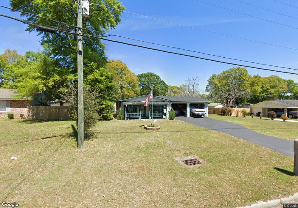
5762 Nevius Rd Mobile, AL 36619
Nevius NeighborhoodEstimated Value: $113,000 - $165,000
3
Beds
1
Bath
1,154
Sq Ft
$116/Sq Ft
Est. Value
About This Home
This home is located at 5762 Nevius Rd, Mobile, AL 36619 and is currently estimated at $133,788, approximately $115 per square foot. 5762 Nevius Rd is a home located in Mobile County with nearby schools including WC Griggs Elementary School, Burns Middle School, and Theodore High School.
Ownership History
Date
Name
Owned For
Owner Type
Purchase Details
Closed on
Oct 23, 2025
Sold by
Martin Peggy S
Bought by
Revocable Trust Of Peggy S Martin and Martin
Current Estimated Value
Purchase Details
Closed on
Feb 13, 2006
Sold by
Day Elizabeth
Bought by
Martin George L and Martin Peggy S
Purchase Details
Closed on
Feb 15, 2002
Sold by
Richardson Anthony Oneal and Richardson Mary Ann
Bought by
Day Elizabeth
Home Financials for this Owner
Home Financials are based on the most recent Mortgage that was taken out on this home.
Original Mortgage
$55,000
Interest Rate
7.12%
Create a Home Valuation Report for This Property
The Home Valuation Report is an in-depth analysis detailing your home's value as well as a comparison with similar homes in the area
Home Values in the Area
Average Home Value in this Area
Purchase History
| Date | Buyer | Sale Price | Title Company |
|---|---|---|---|
| Revocable Trust Of Peggy S Martin | $90,000 | None Listed On Document | |
| Martin George L | $74,500 | Slt | |
| Day Elizabeth | -- | -- |
Source: Public Records
Mortgage History
| Date | Status | Borrower | Loan Amount |
|---|---|---|---|
| Previous Owner | Day Elizabeth | $55,000 |
Source: Public Records
Tax History
| Year | Tax Paid | Tax Assessment Tax Assessment Total Assessment is a certain percentage of the fair market value that is determined by local assessors to be the total taxable value of land and additions on the property. | Land | Improvement |
|---|---|---|---|---|
| 2025 | -- | $8,990 | $1,600 | $7,390 |
| 2024 | $0 | $8,380 | $1,500 | $6,880 |
| 2023 | $0 | $8,640 | $1,500 | $7,140 |
| 2022 | $0 | $7,710 | $1,500 | $6,210 |
| 2021 | $0 | $7,480 | $1,500 | $5,980 |
| 2020 | $0 | $7,660 | $1,800 | $5,860 |
| 2019 | $0 | $7,190 | $1,800 | $5,390 |
| 2018 | $0 | $7,200 | $0 | $0 |
| 2017 | $0 | $7,200 | $0 | $0 |
| 2016 | -- | $7,380 | $0 | $0 |
| 2013 | -- | $7,400 | $0 | $0 |
Source: Public Records
Map
Nearby Homes
- 5674 Nevius Rd
- 4630 General Rd
- 4314 Lumsden Battery Cir W
- 4800 Bush Ln
- 4244 Lumsden Battery Cir W
- 5023 Freeway Ln
- 5480 Inn Rd
- 5544 Candia Ct
- 6116 General Lee Ave
- 5015 Santos Dr W
- 0 Stone Mill Ct Unit 7715820
- 0 Stone Mill Ct Unit 1
- 5185 Santos Dr W
- 5084 Fairland Dr
- 5413 Myrick Ct
- 0 Higgins Rd Unit 153 371518
- 0 Higgins Rd Unit 7497709
- 0 Higgins Rd Unit 5 384060
- 0 Higgins Rd Unit 7634227
- 0 Stone Mill Dr Unit 6
- 5752 Nevius Rd
- 5774 Nevius Rd
- 5759 Tattnall Dr
- 5777 Tattnall Dr
- 5751 Tattnall Dr
- 5790 Nevius Rd
- 4516 Champlain Ave
- 5783 Tattnall Dr
- 4508 Champlain Ave
- 5800 Nevius Rd
- 5729 Nevius Rd
- 5811 Tattnall Dr
- 5761 Nevius Rd
- 5771 Nevius Rd
- 5751 Nevius Rd
- 4475 Barden Ave Unit 2
- 5818 Nevius Rd
- 5781 Nevius Rd
- 4478 Champlain Ave
- 5821 Tattnall Dr
Your Personal Tour Guide
Ask me questions while you tour the home.