57625 Brodala Way Scappoose, OR 97056
Estimated Value: $383,893 - $479,000
3
Beds
1
Bath
1,120
Sq Ft
$385/Sq Ft
Est. Value
About This Home
This home is located at 57625 Brodala Way, Scappoose, OR 97056 and is currently estimated at $431,447, approximately $385 per square foot. 57625 Brodala Way is a home located in Columbia County with nearby schools including Scappoose High School.
Ownership History
Date
Name
Owned For
Owner Type
Purchase Details
Closed on
Feb 13, 2017
Sold by
Hall Christa C M and Hall Christa
Bought by
Hall Christa and Anderson Paul
Current Estimated Value
Home Financials for this Owner
Home Financials are based on the most recent Mortgage that was taken out on this home.
Original Mortgage
$170,950
Interest Rate
3.93%
Mortgage Type
New Conventional
Create a Home Valuation Report for This Property
The Home Valuation Report is an in-depth analysis detailing your home's value as well as a comparison with similar homes in the area
Home Values in the Area
Average Home Value in this Area
Purchase History
| Date | Buyer | Sale Price | Title Company |
|---|---|---|---|
| Hall Christa | -- | Columbia County Title |
Source: Public Records
Mortgage History
| Date | Status | Borrower | Loan Amount |
|---|---|---|---|
| Closed | Hall Christa | $170,950 |
Source: Public Records
Tax History Compared to Growth
Tax History
| Year | Tax Paid | Tax Assessment Tax Assessment Total Assessment is a certain percentage of the fair market value that is determined by local assessors to be the total taxable value of land and additions on the property. | Land | Improvement |
|---|---|---|---|---|
| 2025 | $2,782 | $210,130 | $116,560 | $93,570 |
| 2024 | $2,706 | $204,010 | $113,160 | $90,850 |
| 2023 | $2,693 | $198,070 | $91,670 | $106,400 |
| 2022 | $2,572 | $192,310 | $89,010 | $103,300 |
| 2021 | $2,498 | $186,710 | $81,390 | $105,320 |
| 2020 | $2,291 | $181,280 | $73,650 | $107,630 |
| 2019 | $2,233 | $176,000 | $70,850 | $105,150 |
| 2018 | $2,172 | $170,880 | $104,330 | $66,550 |
| 2017 | $2,140 | $165,910 | $101,290 | $64,620 |
| 2016 | $2,122 | $161,080 | $98,340 | $62,740 |
| 2015 | $2,002 | $156,390 | $101,550 | $54,840 |
| 2014 | $1,955 | $151,840 | $66,430 | $85,410 |
Source: Public Records
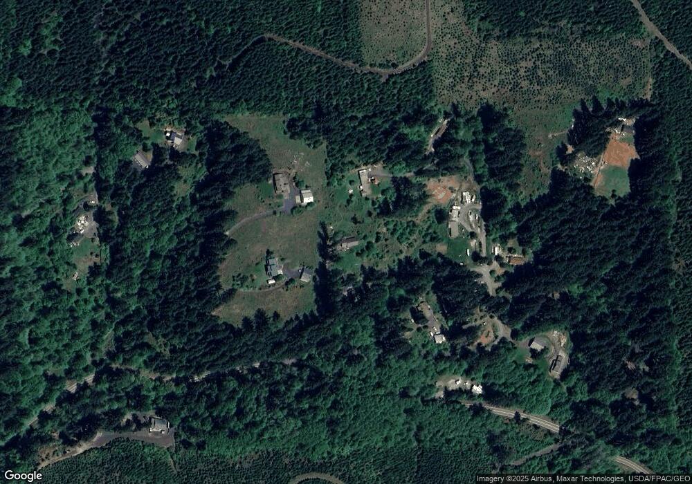
Map
Nearby Homes
- 30004 Scappoose Vernonia Hwy
- 57647 Cedar Springs Dr
- 28995 Scappoose Vernonia Hwy
- 57232 Cedar Creek Rd
- 31917 Brooks Rd
- 32084 Brooks Rd
- 55496 Pioneer Rd
- 0 Cater (East) Rd Unit 798882
- 00 Cater (East) Rd
- 0 Peter St Unit 1S 480042051
- 0 Parcel 1 Peter St St Unit 174014860
- 32991 Rodney St
- 31287 New Kirk Rd
- 33336 Crown Point Dr
- 0 Viewcrest Dr Unit 24577481
- 31444 New Kirk Rd
- 0 Wight Dr Unit Lot 3 675106164
- 32650 Oester Rd
- 0 Oester Rd
- 0 Armstrong Rd Unit 101 23014009
- 30521 Cater Hill Rd
- 30431 Cater Rd
- 30433 Cater Rd
- 57621 Brodala Way
- 57694 Brodala Way
- 30615 Cater Hill Rd
- 30339 Cater Rd
- 30586 Cater Hill Rd Unit 30
- 30588 Cater Hill Rd
- 30434 Cater Rd
- 30333 Cater Rd
- 30565 Cater Rd
- 30333 Cater Rd
- 0 Cater (Boozer) Rd Unit 796321
- 0 Cater (Boozer) Rd Unit 22449603
- 30560 Cater Rd
- 30570 Cater Rd
- 57449 Leona Ln
- 57492 Leona Ln
- 57273 Walker Rd