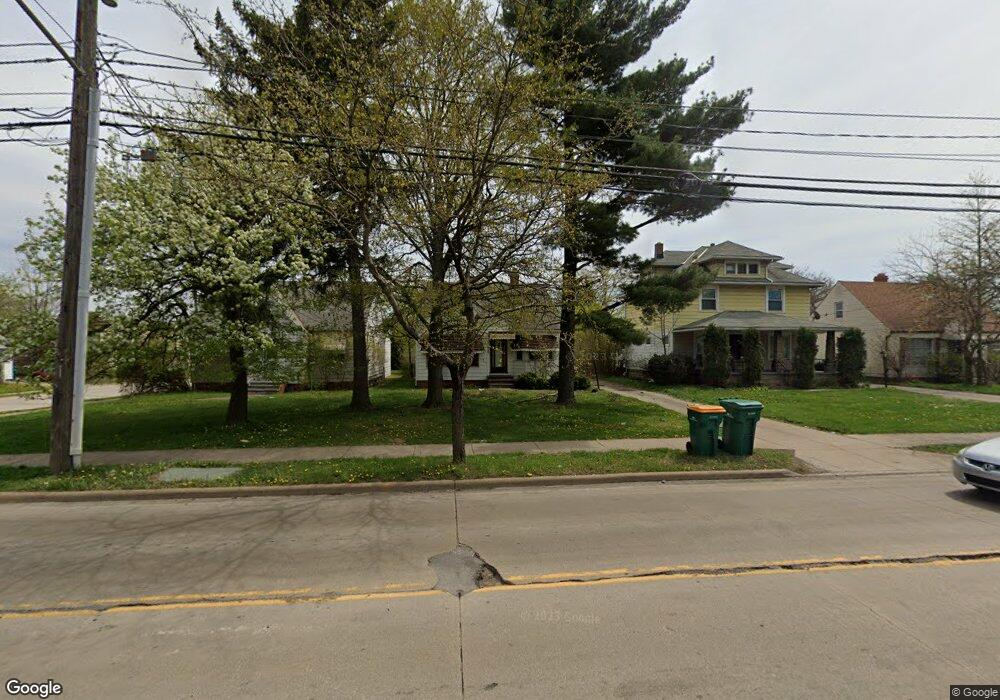
5765 Dunham Rd Maple Heights, OH 44137
Estimated Value: $126,413 - $174,000
3
Beds
1
Bath
1,303
Sq Ft
$111/Sq Ft
Est. Value
About This Home
This home is located at 5765 Dunham Rd, Maple Heights, OH 44137 and is currently estimated at $145,103, approximately $111 per square foot. 5765 Dunham Rd is a home located in Cuyahoga County with nearby schools including Abraham Lincoln Elementary School, Rockside/ J.F. Kennedy School, and Barack Obama School.
Ownership History
Date
Name
Owned For
Owner Type
Purchase Details
Closed on
Sep 26, 2018
Sold by
Em & M Properties Llc
Bought by
Db Global Llc
Current Estimated Value
Purchase Details
Closed on
Feb 19, 2010
Sold by
Bukala John and Bakala John
Bought by
Em & M Properties Llc
Purchase Details
Closed on
Oct 18, 2002
Sold by
Mastaski Albina
Bought by
Bakala John
Purchase Details
Closed on
Sep 11, 2002
Sold by
Mastaski Albina
Bought by
Bakala John
Purchase Details
Closed on
Jan 1, 1975
Bought by
Mastaski Albina
Create a Home Valuation Report for This Property
The Home Valuation Report is an in-depth analysis detailing your home's value as well as a comparison with similar homes in the area
Home Values in the Area
Average Home Value in this Area
Purchase History
| Date | Buyer | Sale Price | Title Company |
|---|---|---|---|
| Db Global Llc | $66,000 | Ohio Real Title | |
| Em & M Properties Llc | $21,500 | Attorney | |
| Bakala John | $71,100 | -- | |
| Bakala John | $7,100 | -- | |
| Mastaski Albina | -- | -- |
Source: Public Records
Tax History
| Year | Tax Paid | Tax Assessment Tax Assessment Total Assessment is a certain percentage of the fair market value that is determined by local assessors to be the total taxable value of land and additions on the property. | Land | Improvement |
|---|---|---|---|---|
| 2024 | $3,606 | $39,270 | $6,825 | $32,445 |
| 2023 | $3,131 | $23,100 | $4,620 | $18,480 |
| 2022 | $2,516 | $23,100 | $4,620 | $18,480 |
| 2021 | $2,684 | $23,100 | $4,620 | $18,480 |
| 2020 | $2,098 | $15,720 | $4,270 | $11,450 |
| 2019 | $2,086 | $44,900 | $12,200 | $32,700 |
| 2018 | $1,889 | $15,720 | $4,270 | $11,450 |
| 2017 | $1,845 | $13,300 | $3,500 | $9,800 |
| 2016 | $1,784 | $13,300 | $3,500 | $9,800 |
| 2015 | $2,196 | $13,300 | $3,500 | $9,800 |
| 2014 | $2,196 | $18,770 | $3,610 | $15,160 |
Source: Public Records
Map
Nearby Homes
- 14708 Brunswick Ave
- 15803 Maplewood Ave
- 14808 James Ave
- 15800 Northwood Ave
- 14509 Rockside Rd
- 15817 Northwood Ave
- 16111 #A8 Maple Park Dr
- 14619 Tokay Ave
- 15404 Fernway Dr
- 14775 Lisa Dr
- 15512 Fernway Dr
- 14818 Reddington Ave
- 14404 Tokay Ave
- 14214 Tabor Ave
- 14320 Janice Dr
- 14203 Tabor Ave
- 15305 Steinway Blvd
- 15712 Morning Star Ave
- 6089 Dunham Rd
- 13804 Rockside Rd
- 5771 Dunham Rd
- 5761 Dunham Rd
- 15300 Maplewood Ave
- 5775 Dunham Rd
- 15304 Maplewood Ave
- 5751 Dunham Rd
- 15213 Rockside Rd
- 5781 Dunham Rd
- 15217 Rockside Rd
- 15308 Maplewood Ave
- 5749 Dunham Rd
- 15301 Maplewood Ave
- 15301 Rockside Rd
- 15312 Maplewood Ave
- 15305 Maplewood Ave
- 5745 Dunham Rd
- 15305 Rockside Rd
- 15309 Maplewood Ave
- 15316 Maplewood Ave
- 15313 Maplewood Ave