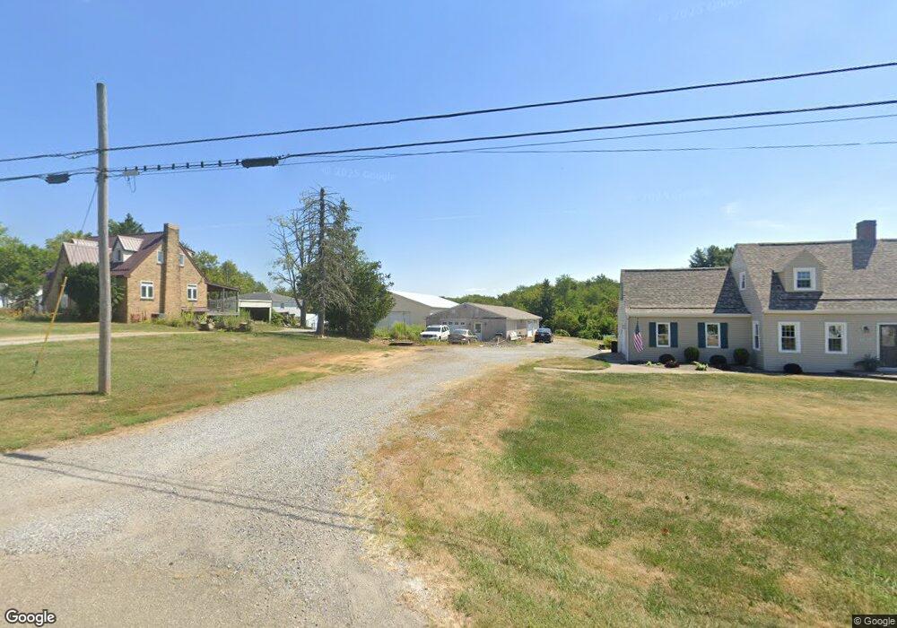
5765 State Route 213 Toronto, OH 43964
Estimated Value: $175,000 - $216,778
2
Beds
1
Bath
1,000
Sq Ft
$194/Sq Ft
Est. Value
About This Home
This home is located at 5765 State Route 213, Toronto, OH 43964 and is currently estimated at $194,195, approximately $194 per square foot. 5765 State Route 213 is a home located in Jefferson County with nearby schools including Edison High School.
Ownership History
Date
Name
Owned For
Owner Type
Purchase Details
Closed on
Jan 12, 2016
Sold by
Keeder Cory A
Bought by
Reed Barbara
Current Estimated Value
Home Financials for this Owner
Home Financials are based on the most recent Mortgage that was taken out on this home.
Original Mortgage
$114,875
Outstanding Balance
$91,273
Interest Rate
3.93%
Mortgage Type
FHA
Estimated Equity
$102,922
Purchase Details
Closed on
May 31, 2012
Sold by
Taylor Kenna M
Bought by
Keeder Cory A
Purchase Details
Closed on
Jun 16, 2010
Sold by
Abdalla Fred J
Bought by
Taylor Kenna M and Keeder Cory A
Home Financials for this Owner
Home Financials are based on the most recent Mortgage that was taken out on this home.
Original Mortgage
$65,786
Interest Rate
5.05%
Create a Home Valuation Report for This Property
The Home Valuation Report is an in-depth analysis detailing your home's value as well as a comparison with similar homes in the area
Home Values in the Area
Average Home Value in this Area
Purchase History
| Date | Buyer | Sale Price | Title Company |
|---|---|---|---|
| Reed Barbara | $117,000 | None Available | |
| Keeder Cory A | -- | -- | |
| Taylor Kenna M | $67,000 | -- |
Source: Public Records
Mortgage History
| Date | Status | Borrower | Loan Amount |
|---|---|---|---|
| Open | Reed Barbara | $114,875 | |
| Previous Owner | Taylor Kenna M | $65,786 |
Source: Public Records
Tax History Compared to Growth
Tax History
| Year | Tax Paid | Tax Assessment Tax Assessment Total Assessment is a certain percentage of the fair market value that is determined by local assessors to be the total taxable value of land and additions on the property. | Land | Improvement |
|---|---|---|---|---|
| 2024 | $2,135 | $59,126 | $8,008 | $51,118 |
| 2023 | $2,135 | $37,538 | $7,511 | $30,027 |
| 2022 | $1,387 | $37,538 | $7,511 | $30,027 |
| 2021 | $1,390 | $37,538 | $7,511 | $30,027 |
| 2020 | $1,370 | $34,895 | $6,811 | $28,084 |
| 2019 | $1,373 | $0 | $0 | $0 |
| 2018 | $1,374 | $0 | $0 | $0 |
| 2017 | $1,120 | $0 | $0 | $0 |
| 2016 | $1,145 | $0 | $0 | $0 |
| 2015 | $1,140 | $0 | $0 | $0 |
| 2014 | $1,128 | $0 | $0 | $0 |
| 2012 | $468 | $27,265 | $8,190 | $19,075 |
Source: Public Records
Map
Nearby Homes
- 5864 State Route 213
- 0 Mellwood Dr
- 203 Mellwood Dr
- 345 & 355 Mellwood Dr
- 183 Trails End Rd
- 4985 State Route 213
- 815 County Road 46
- 2958 County Road 56
- 1498 Township Road 428
- 191 Ridgeland Dr
- 219 Sarah Blvd
- 2718 Township Road 380
- 100 Township Road 418
- 62 Township Road 245
- 0 W Fernwood Dr Unit 5117026
- 0 W Fernwood Dr Unit 5117014
- 0 W Fernwood Dr Unit 5113423
- 720 W Fernwood Dr
- 996 County Road 42
- 1042 County Road 42
- 5817 State Route 213
- 5837 Sr 213
- 177 Mellwood Dr
- 5867 State Route 213
- 5820 State Route 213
- 5880 State Route 213
- 5895 State Route 213
- 5727 State Route 213
- 213 Sr
- 5784 State Route 213
- 5907 State Route 213
- 5907 State Route 213
- 5705 State Route 213
- 5937 State Route 213
- 5930 State Route 213
- 5930 State Route 213
- 5769 Ohio 213
- 5948 State Route 213
- 50 Mellwood Dr
- 5669 State Route 213