5766 Furman Hwy Clayton, MI 49235
Estimated Value: $339,000 - $637,000
4
Beds
2
Baths
2,720
Sq Ft
$170/Sq Ft
Est. Value
About This Home
This home is located at 5766 Furman Hwy, Clayton, MI 49235 and is currently estimated at $462,220, approximately $169 per square foot. 5766 Furman Hwy is a home with nearby schools including Ruth McGregor Elementary School and Sand Creek High School.
Ownership History
Date
Name
Owned For
Owner Type
Purchase Details
Closed on
Jul 20, 2020
Sold by
Ronald D Francoeur Ret
Bought by
Black Aaron L and Black Mekeisha S
Current Estimated Value
Home Financials for this Owner
Home Financials are based on the most recent Mortgage that was taken out on this home.
Original Mortgage
$240,000
Outstanding Balance
$213,211
Interest Rate
3.2%
Mortgage Type
New Conventional
Estimated Equity
$249,009
Purchase Details
Closed on
Jul 9, 2005
Sold by
Francoeur Ronald D and Francoeur Judith A
Bought by
Francoeur Ronald D and Francoeur Judith A
Create a Home Valuation Report for This Property
The Home Valuation Report is an in-depth analysis detailing your home's value as well as a comparison with similar homes in the area
Home Values in the Area
Average Home Value in this Area
Purchase History
| Date | Buyer | Sale Price | Title Company |
|---|---|---|---|
| Black Aaron L | $300,000 | Misc Company | |
| Francoeur Ronald D | -- | None Available |
Source: Public Records
Mortgage History
| Date | Status | Borrower | Loan Amount |
|---|---|---|---|
| Open | Black Aaron L | $240,000 |
Source: Public Records
Tax History Compared to Growth
Tax History
| Year | Tax Paid | Tax Assessment Tax Assessment Total Assessment is a certain percentage of the fair market value that is determined by local assessors to be the total taxable value of land and additions on the property. | Land | Improvement |
|---|---|---|---|---|
| 2025 | $4,881 | $212,300 | $0 | $0 |
| 2024 | $2,194 | $209,500 | $0 | $0 |
| 2022 | $1,926 | $175,400 | $0 | $0 |
| 2021 | $4,351 | $167,300 | $0 | $0 |
| 2020 | $1,789 | $208,300 | $0 | $0 |
| 2019 | $191,564 | $210,000 | $0 | $0 |
| 2018 | $3,019 | $209,986 | $0 | $0 |
| 2017 | $3,014 | $205,264 | $0 | $0 |
| 2016 | $3,042 | $190,509 | $0 | $0 |
| 2014 | -- | $145,440 | $0 | $0 |
Source: Public Records
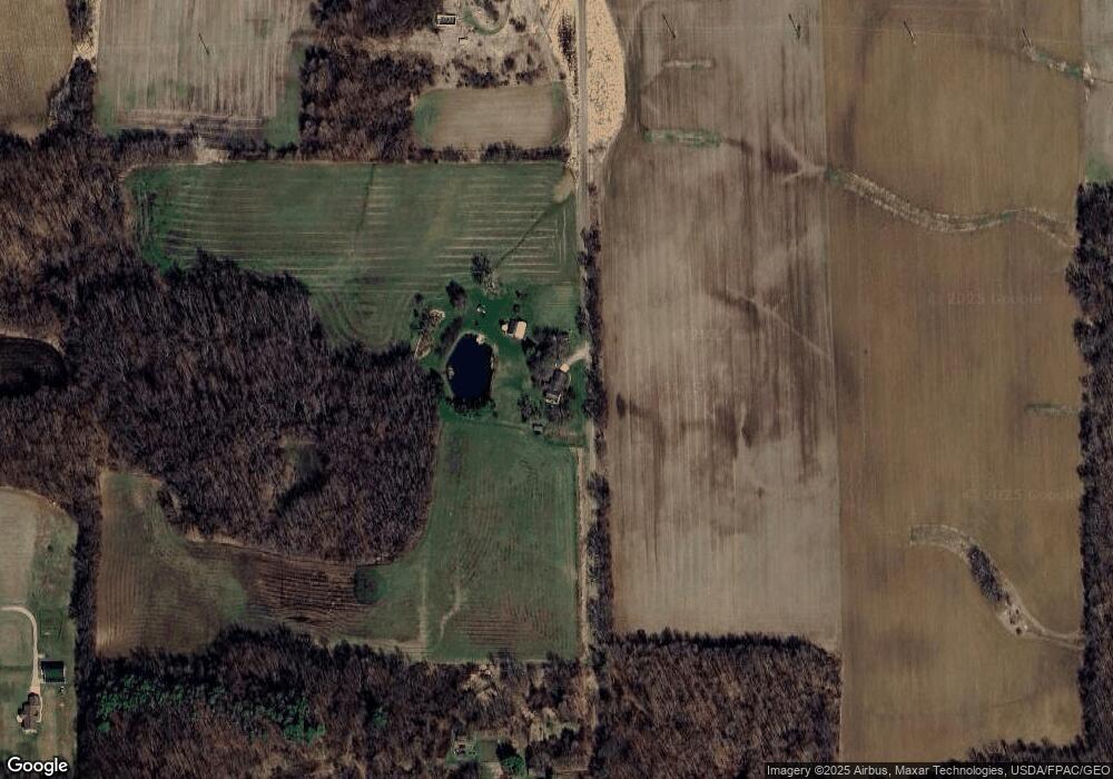
Map
Nearby Homes
- 6000 Tomer Rd
- 4790 W Cadmus Rd
- 6712 W Cadmus Rd
- 5576 W Beecher Rd
- 3118 Planeview Dr
- 3079 Hillview Dr
- 4182 Whaley Hwy
- 9024 W Carleton Rd
- 2741 Sharon Dr
- 3014 Marvin Dr
- 2369 Linden Ct
- 2625 Prairie Dr
- 2027 Green Acres Dr
- 2023 Green Acres Dr
- 2018 Green Acres Dr
- 2029 Green Acres Dr
- 2015 Green Acres Dr
- 2016 Green Acres Dr
- 2012 Green Acres Dr
- 2026 Green Acres Dr
- 5575 Carleton Rd
- 4484 Furman Hwy
- 4273 Sword Hwy
- 4501 Sword Hwy
- 4165 Sword Hwy
- 5329 Carleton Rd
- 5877 Carleton Rd
- 5877 Carleton Rd
- 4395 Sword Hwy
- 4180 Sword Hwy
- 4270 Sword Hwy
- 4000 Whig Hwy
- 4000 Whig Hwy Unit BLK
- 4000 Whig Hwy Unit BLK
- 4000 Whig Hwy Unit BLK
- 4000 Whig Hwy Unit BLK
- 4000 Sword Hwy Unit BLK
- 4000 Sword Hwy Unit BLK
- 4717 Sword Hwy
- 4772 Furman Hwy