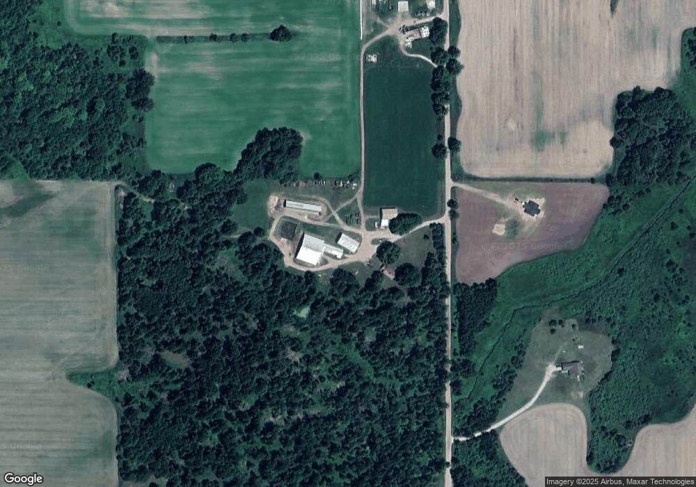
5768 Mogg Rd Prescott, MI 48756
Estimated Value: $241,000 - $461,035
--
Bed
--
Bath
--
Sq Ft
19.1
Acres
About This Home
This home is located at 5768 Mogg Rd, Prescott, MI 48756 and is currently estimated at $373,009. 5768 Mogg Rd is a home located in Ogemaw County with nearby schools including Whittemore-Prescott Elementary School and Whittemore-Prescott Junior/Senior High School.
Ownership History
Date
Name
Owned For
Owner Type
Purchase Details
Closed on
Mar 17, 2006
Sold by
Shimmons Daniel B and Shimmons Judy A
Bought by
Slezinger Vincent W and Slezinger Susanna D
Current Estimated Value
Home Financials for this Owner
Home Financials are based on the most recent Mortgage that was taken out on this home.
Original Mortgage
$100,000
Outstanding Balance
$57,215
Interest Rate
6.38%
Estimated Equity
$315,794
Purchase Details
Closed on
Mar 13, 2006
Sold by
Knight Charlene L and Knight Charlene L
Bought by
Shimmons Daniel B and Shimmons Judy A
Home Financials for this Owner
Home Financials are based on the most recent Mortgage that was taken out on this home.
Original Mortgage
$100,000
Outstanding Balance
$57,215
Interest Rate
6.38%
Estimated Equity
$315,794
Create a Home Valuation Report for This Property
The Home Valuation Report is an in-depth analysis detailing your home's value as well as a comparison with similar homes in the area
Home Values in the Area
Average Home Value in this Area
Purchase History
| Date | Buyer | Sale Price | Title Company |
|---|---|---|---|
| Slezinger Vincent W | $289,900 | -- | |
| Shimmons Daniel B | $20,000 | -- |
Source: Public Records
Mortgage History
| Date | Status | Borrower | Loan Amount |
|---|---|---|---|
| Open | Slezinger Vincent W | $100,000 | |
| Closed | Shimmons Daniel B | $100,000 |
Source: Public Records
Tax History Compared to Growth
Tax History
| Year | Tax Paid | Tax Assessment Tax Assessment Total Assessment is a certain percentage of the fair market value that is determined by local assessors to be the total taxable value of land and additions on the property. | Land | Improvement |
|---|---|---|---|---|
| 2025 | $3,300 | $211,900 | $0 | $0 |
| 2024 | $16 | $206,900 | $0 | $0 |
| 2023 | $1,567 | $187,400 | $0 | $0 |
| 2022 | $2,979 | $129,400 | $0 | $0 |
| 2021 | $2,787 | $118,700 | $0 | $0 |
| 2020 | $2,832 | $120,400 | $0 | $0 |
| 2019 | $2,629 | $124,700 | $0 | $0 |
| 2018 | $2,567 | $111,800 | $0 | $0 |
| 2017 | $2,432 | $112,300 | $0 | $0 |
| 2016 | $2,337 | $129,100 | $0 | $0 |
| 2015 | $2,224 | $123,100 | $0 | $0 |
| 2014 | $2,205 | $108,400 | $0 | $0 |
Source: Public Records
Map
Nearby Homes
- 5825 E Dyer Rd
- 5229 Sage Lake Rd
- 00 Maple Ridge Rd
- Lot 86 West
- 3144 W Maple Ridge Rd
- 1214 N Black Rd
- 3433 Nile Rd
- 388 W Lagrant Rd
- 4290 S Lake Dr
- 10 W Maple Ridge Rd
- 8720 Whittemore Rd
- 111 South St
- 4589 Cranberry Lake Dr
- 7207 Prescott Rd
- 6849 Leggett Rd
- x E Greenwood Rd
- 316 S Bullock St
- 5340 Mills Dr
- 1870 Michigan 65
- 100 & 102 S Bullock St
- 5724 Mogg Rd
- 5731 Mogg Rd
- 5856 Mogg Rd
- 3840 Mclean Rd
- 5871 County Line Rd
- 5850 Mclean Rd
- 5542 E Dyer Rd
- 5542 E Dyer Rd
- 1181 N North Rd
- 1181 N North Rd
- 1181 N North Rd
- 1181 N North Rd
- 5635 Sheffer Rd
- 5259 Sheffer Rd
- 5536 E Dyer Rd
- 5421 County Line Rd
- 5543 E Dyer Rd
- 5675 Black Rd
- 5440 Sheffer Rd
- 474 W Hull Rd
