5769 NE Tolo Rd Bainbridge Island, WA 98110
Estimated Value: $1,195,000 - $1,453,000
3
Beds
2
Baths
2,536
Sq Ft
$516/Sq Ft
Est. Value
About This Home
This home is located at 5769 NE Tolo Rd, Bainbridge Island, WA 98110 and is currently estimated at $1,309,433, approximately $516 per square foot. 5769 NE Tolo Rd is a home with nearby schools including Bainbridge High School, Montessori Country School, and The Island School.
Ownership History
Date
Name
Owned For
Owner Type
Purchase Details
Closed on
Dec 10, 2014
Sold by
Tabafunda Marcelina and Tabafunda Paul Randall
Bought by
Kahala Christopher and Kahala Jeannine
Current Estimated Value
Home Financials for this Owner
Home Financials are based on the most recent Mortgage that was taken out on this home.
Original Mortgage
$269,769
Outstanding Balance
$206,259
Interest Rate
3.87%
Mortgage Type
New Conventional
Estimated Equity
$1,103,174
Purchase Details
Closed on
Jan 3, 2000
Sold by
Tabafunda Paul D and Tabafunda Virginia
Bought by
Tabafunda Marcelina and Tabafunda Paul Randall
Create a Home Valuation Report for This Property
The Home Valuation Report is an in-depth analysis detailing your home's value as well as a comparison with similar homes in the area
Home Values in the Area
Average Home Value in this Area
Purchase History
| Date | Buyer | Sale Price | Title Company |
|---|---|---|---|
| Kahala Christopher | -- | First American Title | |
| Tabafunda Marcelina | -- | -- |
Source: Public Records
Mortgage History
| Date | Status | Borrower | Loan Amount |
|---|---|---|---|
| Open | Kahala Christopher | $269,769 |
Source: Public Records
Tax History Compared to Growth
Tax History
| Year | Tax Paid | Tax Assessment Tax Assessment Total Assessment is a certain percentage of the fair market value that is determined by local assessors to be the total taxable value of land and additions on the property. | Land | Improvement |
|---|---|---|---|---|
| 2026 | $8,490 | $1,046,600 | $363,000 | $683,600 |
| 2025 | $8,490 | $1,046,600 | $363,000 | $683,600 |
| 2024 | $8,113 | $1,046,600 | $363,000 | $683,600 |
| 2023 | $8,465 | $1,046,600 | $363,000 | $683,600 |
| 2022 | $8,245 | $869,350 | $320,010 | $549,340 |
| 2021 | $8,092 | $813,680 | $299,630 | $514,050 |
| 2020 | $7,612 | $753,750 | $277,210 | $476,540 |
| 2019 | $6,985 | $704,510 | $258,860 | $445,650 |
| 2018 | $6,805 | $556,820 | $203,830 | $352,990 |
| 2017 | $5,831 | $556,820 | $203,830 | $352,990 |
| 2016 | $6,197 | $563,740 | $203,830 | $359,910 |
| 2015 | $2,516 | $225,310 | $203,830 | $21,480 |
| 2014 | -- | $222,630 | $203,830 | $18,800 |
| 2013 | -- | $222,630 | $203,830 | $18,800 |
Source: Public Records
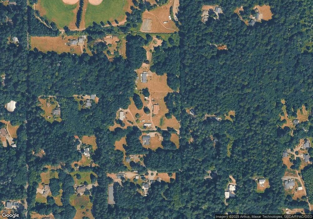
Map
Nearby Homes
- 9549 Olympus Beach Rd NE
- 9674 Olympus Beach Rd NE
- 9009 Miller Rd NE
- 5808 NE Foster Rd
- 7131 NE Bay Hill Rd
- 7870 NE Koura Farm Dr
- 9631 Summer Hill Ln NE
- 8491 Illahee Rd NE
- 9300 NE New Brooklyn Rd
- 13401 Manzanita Rd NE
- 7550 Varsity Ln NE
- 0 University Point Cir NE
- 6371 Illahee Rd NE
- 8128 High School Loop NE
- 8679 NE Fox Den Ln Unit Lot B
- 10825 Brownsville Hwy NE
- 0 NE New Brooklyn Rd Unit NWM2211912
- 7698 Westerly Ln NE
- 13392 Hidden Cove Ln NE
- 11000 Xx State Hwy 305 NE
- 5761 NE Tolo Rd
- 5863 NE Tolo Rd
- 5751 NE Tolo Rd
- 5680 NE Tolo Rd
- 5670 NE Tolo Rd
- 5762 NE Tolo Rd
- 10258 Battle Point Dr NE
- 5741 NE Tolo Rd
- 10210 Battle Point Dr NE
- 5660 NE Tolo Rd
- 0 Arrow Point Dr NE
- 10472 Battle Point Dr NE
- 10725 Arrow Point Dr NE
- 10250 Battle Point Dr NE
- 5408 NE Tolo Rd
- 10705 Arrow Point Dr NE
- 10470 Battle Point Dr NE
- 5494 NE Tolo Rd
- 5530 NE Tolo Rd
- 10200 Battle Point Dr NE