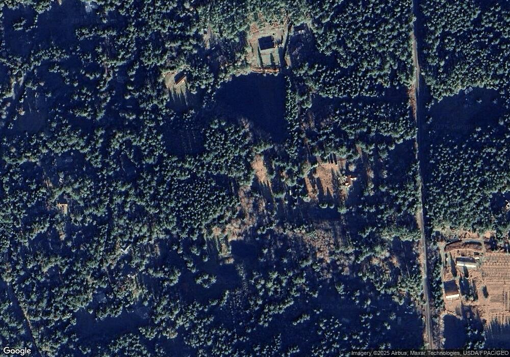
5769 Westside Rd Friday Harbor, WA 98250
Estimated Value: $427,653
--
Bed
--
Bath
720
Sq Ft
$594/Sq Ft
Est. Value
About This Home
This home is located at 5769 Westside Rd, Friday Harbor, WA 98250 and is currently estimated at $427,653, approximately $593 per square foot. 5769 Westside Rd is a home located in San Juan County with nearby schools including Friday Harbor Elementary School, Friday Harbor Middle School, and Friday Harbor High School.
Ownership History
Date
Name
Owned For
Owner Type
Purchase Details
Closed on
May 5, 2021
Sold by
Rasmussen Keith B and Rasmussen Loretta G
Bought by
2014 Mark C Nelson And Cynthia J Nelson Revoc and Nelson
Current Estimated Value
Purchase Details
Closed on
Sep 16, 2014
Sold by
Rasmussen Keith B and Phelan Loretta G
Bought by
Rasmussen Keith R and Rasmussen Loretta G
Purchase Details
Closed on
Jun 27, 2014
Sold by
Rasmussen Keith R
Bought by
Rasmussen Keith B and Phelan Loretta G
Purchase Details
Closed on
Feb 7, 2012
Sold by
Rasmussen Keith B and Estate Of Debra A Rasmussen
Bought by
Rasmussen Keith B
Create a Home Valuation Report for This Property
The Home Valuation Report is an in-depth analysis detailing your home's value as well as a comparison with similar homes in the area
Home Values in the Area
Average Home Value in this Area
Purchase History
| Date | Buyer | Sale Price | Title Company |
|---|---|---|---|
| 2014 Mark C Nelson And Cynthia J Nelson Revoc | $350,000 | Chicago Title | |
| Rasmussen Keith R | -- | None Available | |
| Rasmussen Keith B | -- | None Available | |
| Rasmussen Keith B | -- | None Available |
Source: Public Records
Tax History Compared to Growth
Tax History
| Year | Tax Paid | Tax Assessment Tax Assessment Total Assessment is a certain percentage of the fair market value that is determined by local assessors to be the total taxable value of land and additions on the property. | Land | Improvement |
|---|---|---|---|---|
| 2024 | $1,809 | $291,710 | $291,710 | -- |
| 2023 | $1,809 | $291,710 | $291,710 | $0 |
| 2022 | $1,811 | $287,300 | $209,000 | $78,300 |
| 2021 | $1,510 | $231,830 | $150,020 | $81,810 |
| 2020 | $1,500 | $195,990 | $125,020 | $70,970 |
| 2019 | $1,266 | $190,350 | $125,020 | $65,330 |
| 2018 | $1,279 | $214,060 | $159,120 | $54,940 |
| 2017 | $1,172 | $150,420 | $104,180 | $46,240 |
| 2016 | $1,471 | $145,160 | $109,390 | $35,770 |
| 2015 | $1,471 | $183,240 | $145,850 | $37,390 |
| 2014 | $1,471 | $171,150 | $132,590 | $38,560 |
| 2012 | $1,471 | $170,530 | $132,590 | $37,940 |
Source: Public Records
Map
Nearby Homes
- 265 Madrona Dr
- 935 Mitchell Bay Rd
- 449 Madrona Dr
- 185 Briggs Rd
- 213 Smugglers Cove Rd
- 53 Smugglers Cove Rd
- 375 De Haro Ln
- 144 Sunset Point Dr
- 934 Mitchell Bay Rd
- 227 De Haro Ln
- 73 Dogwood Ln
- 1062 Yacht Haven Rd
- 1555 Yacht Haven Rd
- 98 Bufflehead Ln
- 128 Twin Oaks Dr
- 185 Lucky Way
- 327 Twin Oaks Dr
- 341 Mount Dallas Rd
- 1087 Cady Mountain Rd
- 2001 Mount Dallas Rd
- 5767 Westside Rd
- 45 Foxwood Ln
- 81 Foxwood Ln
- 153 Blackfish Woods Ln
- 5611 Westside Rd
- 43 Blackfish Woods Ln
- 205 Foxwood Ln
- 41 Blackfish Woods Ln
- 207 Foxwood Ln
- 0 Foxwood Ln
- 13 Foxwood Ln
- 5637 Westside Rd
- 261 Foxwood Ln
- 366 Spyglass Hill Rd
- 178 Foxwood Ln
- 140 Foxwood Ln
- 5591 Westside Rd
- 194 Foxwood Ln
- 371 Spyglass Hill Rd
- 120 Foxwood Ln
