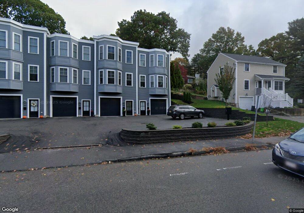
577 Baker St West Roxbury, MA 02132
West Roxbury NeighborhoodEstimated Value: $1,006,939
2
Beds
3
Baths
1,600
Sq Ft
$629/Sq Ft
Est. Value
About This Home
This home is located at 577 Baker St, West Roxbury, MA 02132 and is currently estimated at $1,006,939, approximately $629 per square foot. 577 Baker St is a home located in Suffolk County with nearby schools including St Theresa School and Catholic Memorial School.
Ownership History
Date
Name
Owned For
Owner Type
Purchase Details
Closed on
Oct 30, 2019
Sold by
Brush Hill Properties Llc
Bought by
Casserly Claire
Current Estimated Value
Home Financials for this Owner
Home Financials are based on the most recent Mortgage that was taken out on this home.
Original Mortgage
$550,000
Interest Rate
3.7%
Mortgage Type
New Conventional
Purchase Details
Closed on
Jul 11, 2019
Sold by
Brush Hill Properties Llc
Bought by
Lambe Rt
Create a Home Valuation Report for This Property
The Home Valuation Report is an in-depth analysis detailing your home's value as well as a comparison with similar homes in the area
Home Values in the Area
Average Home Value in this Area
Purchase History
| Date | Buyer | Sale Price | Title Company |
|---|---|---|---|
| Casserly Claire | $745,000 | None Available | |
| Pavlo Vasiliki | $799,000 | None Available | |
| Lakkis Nahed | $790,000 | None Available | |
| Lambe Rt | $785,000 | None Available |
Source: Public Records
Mortgage History
| Date | Status | Borrower | Loan Amount |
|---|---|---|---|
| Previous Owner | Lakkis Nahed | $550,000 | |
| Previous Owner | Pavlo Vasiliki | $639,200 | |
| Previous Owner | Casserly Claire | $416,150 |
Source: Public Records
Tax History Compared to Growth
Tax History
| Year | Tax Paid | Tax Assessment Tax Assessment Total Assessment is a certain percentage of the fair market value that is determined by local assessors to be the total taxable value of land and additions on the property. | Land | Improvement |
|---|---|---|---|---|
| 2025 | $0 | $0 | $0 | $0 |
| 2024 | $0 | $0 | $0 | $0 |
| 2023 | $0 | $0 | $0 | $0 |
| 2022 | $0 | $0 | $0 | $0 |
| 2021 | $0 | $0 | $0 | $0 |
| 2020 | $14,118 | $1,336,900 | $0 | $1,336,900 |
| 2019 | $3,787 | $359,300 | $180,100 | $179,200 |
| 2018 | $3,487 | $332,700 | $180,100 | $152,600 |
| 2017 | $3,453 | $326,100 | $180,100 | $146,000 |
| 2016 | $3,483 | $316,600 | $180,100 | $136,500 |
| 2015 | $3,927 | $324,300 | $191,900 | $132,400 |
| 2014 | $3,849 | $306,000 | $191,900 | $114,100 |
Source: Public Records
Map
Nearby Homes
- 577 Baker St Unit 577
- 579 Baker St Unit 579
- 9 Carroll St
- 331 Vermont St
- 845 Lagrange St Unit 4
- 865 Lagrange St Unit 5
- 105 Chesbrough Rd
- 89 Dwinell St
- 139 Newfield St
- 76 Vermont St
- 931 Lagrange St
- 59 Chesbrough Rd
- 183 Temple St
- 28 Dow Rd
- 539 Lagrange St
- 340 Baker St Unit 1
- 30 Esty Farm Rd
- 141 Spiers Rd
- 76 Potomac St
- 544 Saw Mill Brook Pkwy
- 577 Baker St Unit 581
- 577 Baker St Unit 579
- 583 Baker St Unit 583
- 224 Brook Farm Rd
- 575 Baker St
- 585 Baker St
- 903 Vfw Pkwy
- 901 Vfw Pkwy
- 583b Baker St Unit 583B
- 891 Vfw Pkwy
- 885 Vfw Pkwy
- 914 Vfw Pkwy
- 00 Baker St
- 0 Carroll St
- 53 Glenham St
- 900 Vfw Pkwy
- 900 Vfw Pkwy
- 45 Glenham St
- 543 Baker St
- 286 Perham St