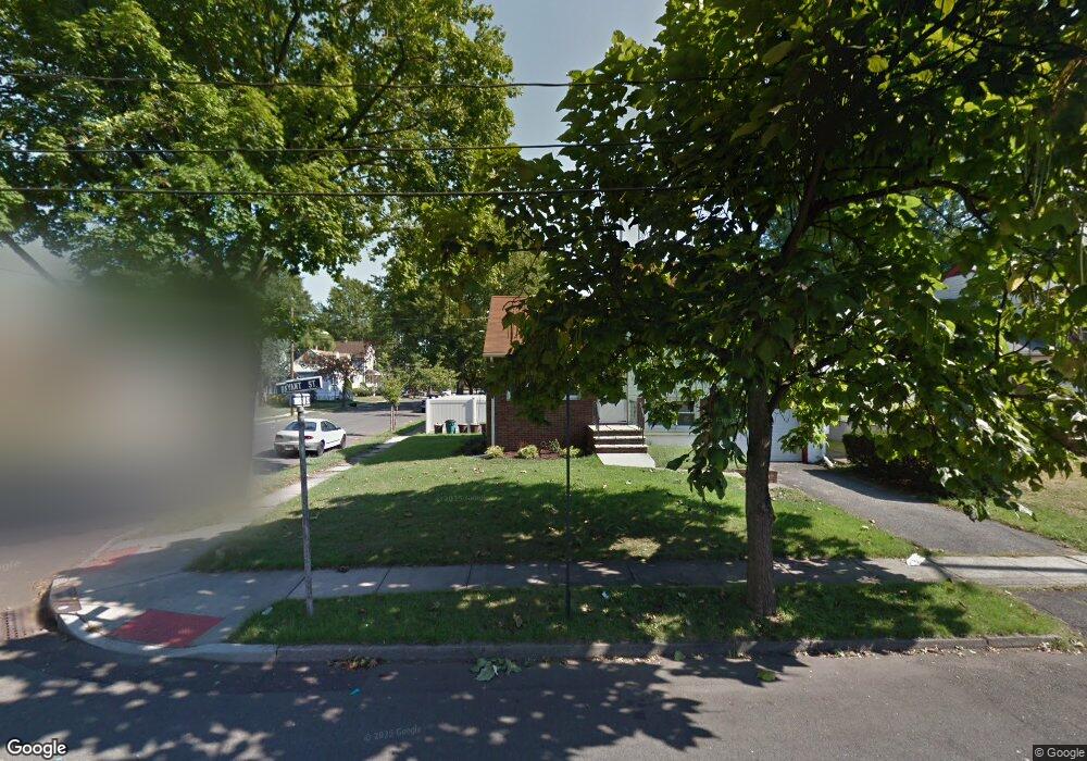
577 Bryant St Rahway, NJ 07065
Estimated Value: $463,441 - $548,000
--
Bed
--
Bath
1,116
Sq Ft
$466/Sq Ft
Est. Value
About This Home
This home is located at 577 Bryant St, Rahway, NJ 07065 and is currently estimated at $519,610, approximately $465 per square foot. 577 Bryant St is a home located in Union County with nearby schools including Rahway High School.
Ownership History
Date
Name
Owned For
Owner Type
Purchase Details
Closed on
Jun 25, 2007
Sold by
Surber Charles J and Surber Sharon L
Bought by
Surber Tracy and Jerue Jason
Current Estimated Value
Home Financials for this Owner
Home Financials are based on the most recent Mortgage that was taken out on this home.
Original Mortgage
$275,000
Outstanding Balance
$170,086
Interest Rate
6.39%
Mortgage Type
Purchase Money Mortgage
Estimated Equity
$349,524
Create a Home Valuation Report for This Property
The Home Valuation Report is an in-depth analysis detailing your home's value as well as a comparison with similar homes in the area
Home Values in the Area
Average Home Value in this Area
Purchase History
| Date | Buyer | Sale Price | Title Company |
|---|---|---|---|
| Surber Tracy | $344,000 | Chicago Title Insurance Co |
Source: Public Records
Mortgage History
| Date | Status | Borrower | Loan Amount |
|---|---|---|---|
| Open | Surber Tracy | $275,000 |
Source: Public Records
Tax History Compared to Growth
Tax History
| Year | Tax Paid | Tax Assessment Tax Assessment Total Assessment is a certain percentage of the fair market value that is determined by local assessors to be the total taxable value of land and additions on the property. | Land | Improvement |
|---|---|---|---|---|
| 2025 | $9,730 | $131,400 | $52,200 | $79,200 |
| 2024 | $9,424 | $131,400 | $52,200 | $79,200 |
| 2023 | $9,424 | $131,400 | $52,200 | $79,200 |
| 2022 | $9,227 | $131,400 | $52,200 | $79,200 |
| 2021 | $9,134 | $131,400 | $52,200 | $79,200 |
| 2020 | $9,099 | $131,400 | $52,200 | $79,200 |
| 2019 | $8,984 | $131,400 | $52,200 | $79,200 |
| 2018 | $8,795 | $131,400 | $52,200 | $79,200 |
| 2017 | $8,578 | $131,400 | $52,200 | $79,200 |
| 2016 | $8,395 | $131,400 | $52,200 | $79,200 |
| 2015 | $8,301 | $131,400 | $52,200 | $79,200 |
| 2014 | $8,152 | $131,400 | $52,200 | $79,200 |
Source: Public Records
Map
Nearby Homes
- 275 Forbes St
- 277 Orchard St
- 331 W Inman Ave
- 182 W Lake Ave
- 59 Minna St
- 306 Orchard St
- 181 W Stearns St
- 163 Stanton St
- 653 New Brunswick Ave
- 372 W Hazelwood Ave
- 591 Harris Dr
- 723 Dianne Ct
- 48 W Hazelwood Ave
- 1016 Jaques Ave
- 593 W Hazelwood Ave
- 687 Sycamore St
- 527 Albermarle St
- 139 Maple Ave Unit 104
- 752 W Lake Ave
- 76 Ridge Rd
- 567 Bryant St
- 184 Coddington St
- 557 Bryant St
- 599 Bryant St
- 174 Coddington St
- 185 Coddington St
- 576 Bryant St
- 607 Bryant St
- 568 Bryant St
- 183 W Inman Ave
- 558 Bryant St
- 199 W Inman Ave
- 193 W Inman Ave
- 173 Coddington St
- 552 Bryant St
- 600 Bryant St
- 171 W Inman Ave
- 205 W Inman Ave
- 617 Bryant St
- 167 Coddington St