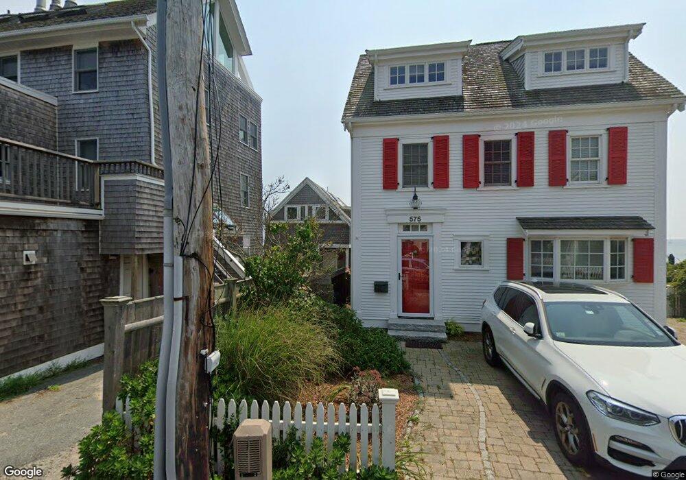
577 Commercial St Unit E3 Provincetown, MA 02657
Estimated Value: $1,447,609 - $1,683,000
3
Beds
2
Baths
1,200
Sq Ft
$1,267/Sq Ft
Est. Value
About This Home
This home is located at 577 Commercial St Unit E3, Provincetown, MA 02657 and is currently estimated at $1,520,152, approximately $1,266 per square foot. 577 Commercial St Unit E3 is a home located in Barnstable County with nearby schools including Provincetown Schools.
Ownership History
Date
Name
Owned For
Owner Type
Purchase Details
Closed on
Aug 9, 2013
Sold by
Hudak Darryl G
Bought by
Syers Michael R
Current Estimated Value
Purchase Details
Closed on
Sep 14, 2007
Sold by
Keydel Thomas M
Bought by
Hudak Darryl G and Syers Michael R
Home Financials for this Owner
Home Financials are based on the most recent Mortgage that was taken out on this home.
Original Mortgage
$609,600
Interest Rate
6.7%
Mortgage Type
Purchase Money Mortgage
Purchase Details
Closed on
Jan 12, 1996
Sold by
Roberts Paul J
Bought by
Keydel Thomas M
Create a Home Valuation Report for This Property
The Home Valuation Report is an in-depth analysis detailing your home's value as well as a comparison with similar homes in the area
Home Values in the Area
Average Home Value in this Area
Purchase History
| Date | Buyer | Sale Price | Title Company |
|---|---|---|---|
| Syers Michael R | -- | -- | |
| Syers Michael R | -- | -- | |
| Hudak Darryl G | $762,000 | -- | |
| Hudak Darryl G | $762,000 | -- | |
| Keydel Thomas M | $239,000 | -- | |
| Keydel Thomas M | $239,000 | -- |
Source: Public Records
Mortgage History
| Date | Status | Borrower | Loan Amount |
|---|---|---|---|
| Previous Owner | Keydel Thomas M | $417,000 | |
| Previous Owner | Keydel Thomas M | $115,000 | |
| Previous Owner | Hudak Darryl G | $609,600 |
Source: Public Records
Tax History Compared to Growth
Tax History
| Year | Tax Paid | Tax Assessment Tax Assessment Total Assessment is a certain percentage of the fair market value that is determined by local assessors to be the total taxable value of land and additions on the property. | Land | Improvement |
|---|---|---|---|---|
| 2025 | $6,626 | $1,183,200 | $0 | $1,183,200 |
| 2024 | $6,232 | $1,116,800 | $0 | $1,116,800 |
| 2023 | $5,601 | $936,700 | $0 | $936,700 |
| 2022 | $6,065 | $910,600 | $0 | $910,600 |
| 2021 | $6,916 | $976,900 | $0 | $976,900 |
| 2020 | $6,278 | $948,400 | $0 | $948,400 |
| 2019 | $6,320 | $895,200 | $0 | $895,200 |
| 2018 | $5,960 | $800,000 | $0 | $800,000 |
| 2017 | $5,933 | $769,500 | $0 | $769,500 |
| 2016 | $5,802 | $743,900 | $0 | $743,900 |
| 2015 | $5,229 | $708,600 | $0 | $708,600 |
Source: Public Records
Map
Nearby Homes
- 580 Commercial St
- 593 Commercial St
- 561 Commercial St
- 592 Commercial St
- 594 Commercial St
- 289 Bradford St
- 613 Commercial St
- 290A Bradford St
- 539 Commercial St Unit 1
- 616 Commercial St Unit 10
- 616 Commercial St Unit 14
- 616 Commercial St Unit 15
- 616 Commercial St Unit 5
- 262 Bradford St Unit 2
- 624 Commercial St
- 633 Commercial St Unit 2
- 521 Commercial St Unit 2
- 577 Commercial St Unit CTG
- 577 Commercial St Unit 3W
- 577 Commercial St Unit 3E
- 577 Commercial St Unit 2W
- 577 Commercial St Unit 2E
- 577 Commercial St Unit 1W
- 577 Commercial St Unit 1E
- 577 Commercial St Unit U3W
- 577 Commercial St Unit U1E
- 577-A Commercial St
- 575 Commercial St
- 579 Commercial St
- 573 Commercial St
- 581 Commercial St
- 583 Commercial St Unit 583A
- 583-583A Commercial St
- 572 Commercial St Unit 572A
- 571 Commercial St
- 570 Commercial St
- 587 Commercial St