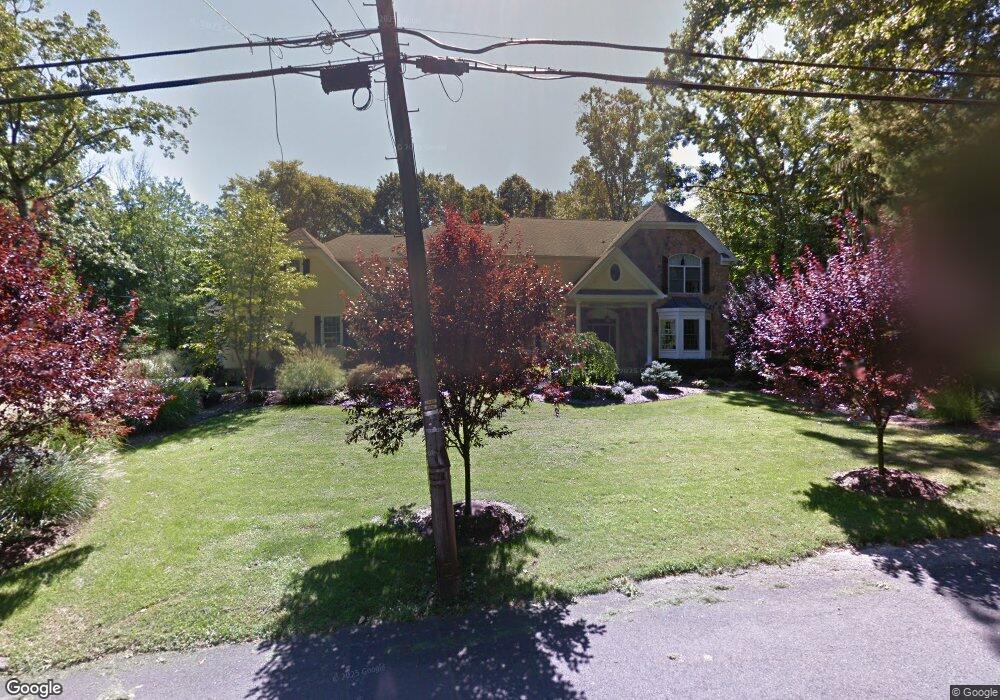
577 Eder Ave Wyckoff, NJ 07481
Estimated Value: $2,560,000 - $2,790,000
--
Bed
--
Bath
5,714
Sq Ft
$467/Sq Ft
Est. Value
About This Home
This home is located at 577 Eder Ave, Wyckoff, NJ 07481 and is currently estimated at $2,667,098, approximately $466 per square foot. 577 Eder Ave is a home located in Bergen County with nearby schools including Sicomac Elementary School, Dwight D Eisenhower Middle School, and Ramapo High School.
Ownership History
Date
Name
Owned For
Owner Type
Purchase Details
Closed on
Apr 2, 2008
Sold by
Prestige Developers Inc
Bought by
Foulke Evan and Foulke Nancy
Current Estimated Value
Home Financials for this Owner
Home Financials are based on the most recent Mortgage that was taken out on this home.
Original Mortgage
$1,000,000
Outstanding Balance
$635,109
Interest Rate
6.02%
Mortgage Type
New Conventional
Estimated Equity
$2,031,989
Purchase Details
Closed on
Jul 28, 2005
Sold by
Komito Edward Lawrence
Bought by
Prestige Developers Inc
Create a Home Valuation Report for This Property
The Home Valuation Report is an in-depth analysis detailing your home's value as well as a comparison with similar homes in the area
Home Values in the Area
Average Home Value in this Area
Purchase History
| Date | Buyer | Sale Price | Title Company |
|---|---|---|---|
| Foulke Evan | $1,762,500 | -- | |
| Prestige Developers Inc | $789,000 | -- |
Source: Public Records
Mortgage History
| Date | Status | Borrower | Loan Amount |
|---|---|---|---|
| Open | Foulke Evan | $1,000,000 |
Source: Public Records
Tax History Compared to Growth
Tax History
| Year | Tax Paid | Tax Assessment Tax Assessment Total Assessment is a certain percentage of the fair market value that is determined by local assessors to be the total taxable value of land and additions on the property. | Land | Improvement |
|---|---|---|---|---|
| 2025 | $34,753 | $1,782,200 | $471,600 | $1,310,600 |
| 2024 | $33,737 | $1,782,200 | $471,600 | $1,310,600 |
| 2023 | $32,828 | $1,782,200 | $471,600 | $1,310,600 |
| 2022 | $32,828 | $1,782,200 | $471,600 | $1,310,600 |
| 2021 | $33,042 | $1,782,200 | $471,600 | $1,310,600 |
| 2020 | $32,703 | $1,782,200 | $471,600 | $1,310,600 |
| 2019 | $32,258 | $1,782,200 | $471,600 | $1,310,600 |
| 2018 | $31,759 | $1,782,200 | $471,600 | $1,310,600 |
| 2017 | $31,367 | $1,782,200 | $471,600 | $1,310,600 |
| 2016 | $30,868 | $1,782,200 | $471,600 | $1,310,600 |
| 2015 | $30,529 | $1,782,200 | $471,600 | $1,310,600 |
| 2014 | $30,256 | $1,906,500 | $531,600 | $1,374,900 |
Source: Public Records
Map
Nearby Homes
- 620 Grandview Terrace
- 6 Northwood Dr
- 476 Fairfield Rd
- 40 Hazy Gate Terrace
- 732 Terrace Heights
- 421 Hamden Ct
- 529 Covington Place
- 608 Covington Place W
- 386 Brownstone Ct
- 538 Franklin Ave
- 550 Overlook Dr
- 551 Oldwoods Rd
- 718 High Woods Dr
- 520 Clinton Ave
- 587 High Mountain Rd
- 195 Brewster Rd
- 197 Brewster Rd
- 300 Merrywood Dr
- 306 Sunset Blvd
- 253 Madison Ave