577 Fink Rd Trout Run, PA 17771
Estimated Value: $179,000 - $234,000
2
Beds
2
Baths
1,248
Sq Ft
$158/Sq Ft
Est. Value
About This Home
This home is located at 577 Fink Rd, Trout Run, PA 17771 and is currently estimated at $196,766, approximately $157 per square foot. 577 Fink Rd is a home located in Lycoming County with nearby schools including Hepburn-Lycoming Elementary School, Lycoming Valley Intermediate School, and Williamsport Area Senior High School.
Ownership History
Date
Name
Owned For
Owner Type
Purchase Details
Closed on
Aug 3, 2005
Sold by
Ditchfield Michael J and Ditchfield Mary A
Bought by
Ditchfield Michael J and Ditchfield Mary A
Current Estimated Value
Purchase Details
Closed on
Jul 8, 1996
Sold by
Ditchfield Michael J
Bought by
Ditchfield Michael J and Ditchfield Mary A
Create a Home Valuation Report for This Property
The Home Valuation Report is an in-depth analysis detailing your home's value as well as a comparison with similar homes in the area
Home Values in the Area
Average Home Value in this Area
Purchase History
| Date | Buyer | Sale Price | Title Company |
|---|---|---|---|
| Ditchfield Michael J | -- | Attorney | |
| Ditchfield Michael J | -- | -- |
Source: Public Records
Tax History Compared to Growth
Tax History
| Year | Tax Paid | Tax Assessment Tax Assessment Total Assessment is a certain percentage of the fair market value that is determined by local assessors to be the total taxable value of land and additions on the property. | Land | Improvement |
|---|---|---|---|---|
| 2025 | $2,578 | $102,590 | $13,660 | $88,930 |
| 2024 | $2,578 | $102,590 | $13,660 | $88,930 |
| 2023 | $2,578 | $102,590 | $13,660 | $88,930 |
| 2022 | $2,578 | $102,590 | $13,660 | $88,930 |
| 2021 | $2,542 | $102,590 | $13,660 | $88,930 |
| 2020 | $2,542 | $102,590 | $13,660 | $88,930 |
| 2019 | $2,502 | $102,590 | $13,660 | $88,930 |
| 2018 | $2,468 | $102,590 | $13,660 | $88,930 |
| 2017 | $2,356 | $102,590 | $13,660 | $88,930 |
| 2016 | $2,298 | $102,590 | $13,660 | $88,930 |
| 2015 | $2,326 | $103,820 | $14,890 | $88,930 |
Source: Public Records
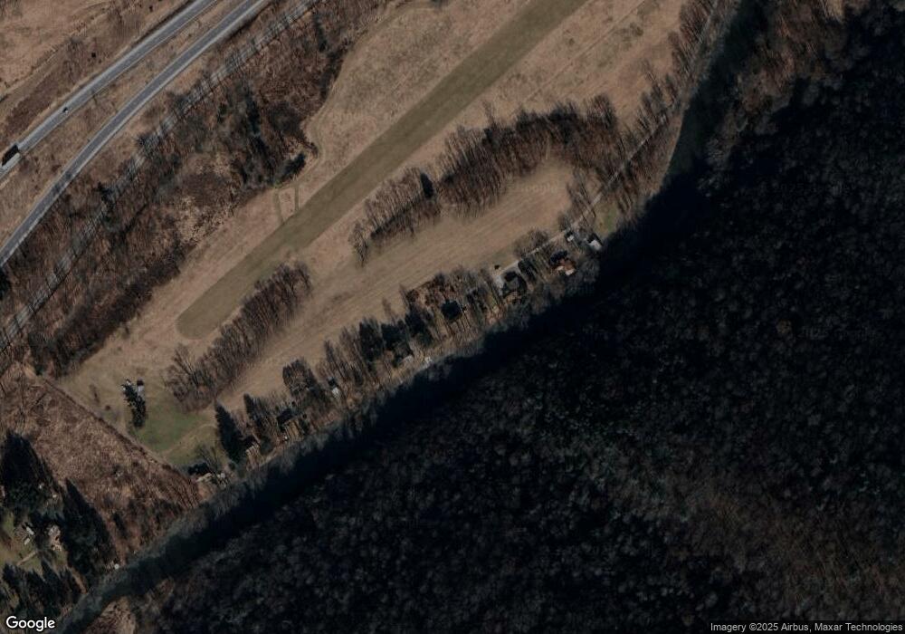
Map
Nearby Homes
- 140 Bittner Park Rd Unit 45
- 140 Bittner Park Rd Unit 44
- 0 Stonington Ct Unit PALY2002080
- 106 Stonington Ct
- PARCEL 15 Cresent Hill Rd
- 0 Cresent Hill Rd Unit 20-100585
- 976 Powys Rd
- Crescent Hill Rd
- 106 Cresent Hill Rd
- PARCEL 178 Saint Michaels Rd
- 1808 Rose Valley Rd
- 394 Pennsylvania 973 Unit 61
- 488 Old Route 15
- PARCEL 506 Rader Ave
- 168 N Shaffer Hill Rd
- 0 Ridge Rd
- PARCEL 194 Ridge Rd
- 178 Florence Dr
- 89 Drifty Ln
- 1925 Grant St