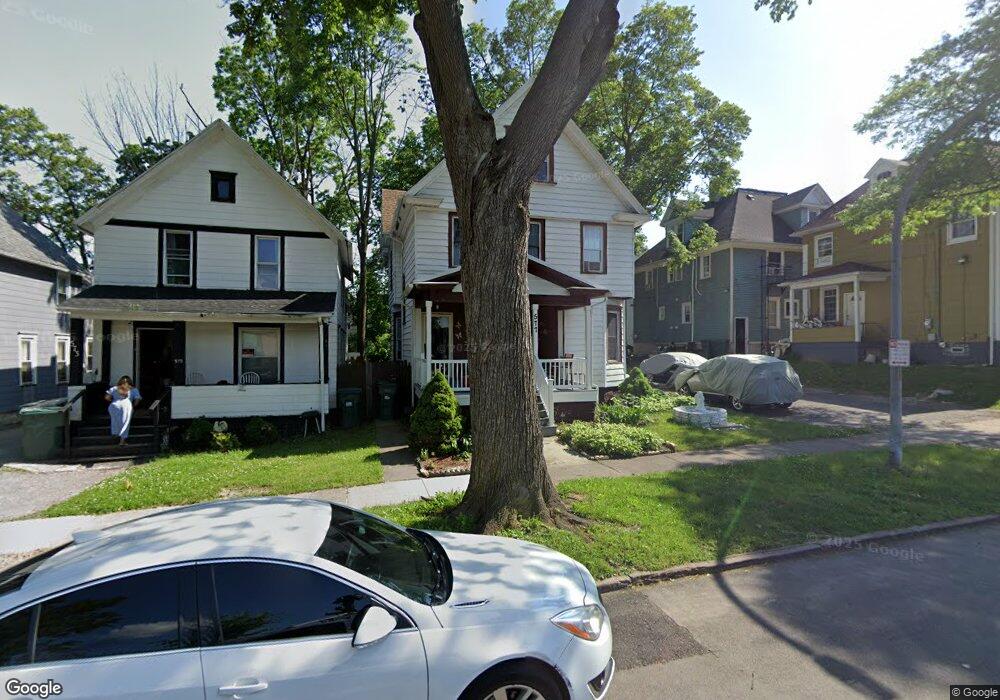
577 Flint St Rochester, NY 14611
Genesee-Jefferson NeighborhoodEstimated Value: $95,000 - $162,774
4
Beds
2
Baths
2,196
Sq Ft
$59/Sq Ft
Est. Value
About This Home
This home is located at 577 Flint St, Rochester, NY 14611 and is currently estimated at $128,694, approximately $58 per square foot. 577 Flint St is a home located in Monroe County with nearby schools including Adlai E. Stevenson School 29, George Mather Forbes School No. 4, and School 19 Dr Charles T Lunsford.
Ownership History
Date
Name
Owned For
Owner Type
Purchase Details
Closed on
Feb 15, 2002
Sold by
City Of Roch
Bought by
Malcolm Donna
Current Estimated Value
Purchase Details
Closed on
Dec 27, 2001
Sold by
Hud
Bought by
City Of Rochester
Purchase Details
Closed on
Aug 23, 2001
Sold by
Midfirst Bank
Bought by
Hud
Purchase Details
Closed on
May 3, 2001
Sold by
Twillie Johnnie B
Bought by
Midfirst Bank
Create a Home Valuation Report for This Property
The Home Valuation Report is an in-depth analysis detailing your home's value as well as a comparison with similar homes in the area
Home Values in the Area
Average Home Value in this Area
Purchase History
| Date | Buyer | Sale Price | Title Company |
|---|---|---|---|
| Malcolm Donna | $5,900 | Larry Mort | |
| City Of Rochester | $2,000 | -- | |
| Hud | -- | -- | |
| Midfirst Bank | $28,170 | Marvin R Baum |
Source: Public Records
Tax History Compared to Growth
Tax History
| Year | Tax Paid | Tax Assessment Tax Assessment Total Assessment is a certain percentage of the fair market value that is determined by local assessors to be the total taxable value of land and additions on the property. | Land | Improvement |
|---|---|---|---|---|
| 2024 | $1,072 | $118,500 | $4,400 | $114,100 |
| 2023 | $669 | $48,000 | $2,600 | $45,400 |
| 2022 | $641 | $48,000 | $2,600 | $45,400 |
| 2021 | $655 | $48,000 | $2,600 | $45,400 |
| 2020 | $564 | $48,000 | $2,600 | $45,400 |
| 2019 | $637 | $36,400 | $2,600 | $33,800 |
| 2018 | $0 | $36,400 | $2,600 | $33,800 |
| 2017 | $0 | $36,400 | $2,600 | $33,800 |
| 2016 | $637 | $36,400 | $2,600 | $33,800 |
| 2015 | $815 | $33,000 | $2,600 | $30,400 |
| 2014 | $815 | $33,000 | $2,600 | $30,400 |
Source: Public Records
Map
Nearby Homes
- 21 Arnett Blvd Unit 25
- 68 Arnett Blvd
- 687 Genesee St
- 137 Aldine St
- 16 Shelter St
- 399 Cottage St
- 51 W High Terrace
- 359 Wellington Ave
- 116 W High Terrace
- 190 Roslyn St
- 33 Sawyer St
- 790 Genesee St
- 244 Kenwood Ave
- 672 Jefferson Ave
- 187 Elmdorf Ave Unit 189
- 208 Kenwood Ave
- 261 Warwick Ave
- 572-574 Seward St
- 170 Epworth St
- 485 Rugby Ave
- 573 Flint St
- 530 Genesee St Unit 532
- 530 Genesee St
- 569 Flint St
- 528 Genesee St
- 534 Genesee St
- 544 Genesee St
- 559 Flint St
- 5 Walter Park
- 552 Genesee St
- 555 Flint St
- 2 Walter Park
- 4 Walter Park
- 224 Shelter St Unit 226
- 224-226 Shelter St
- 554 Genesee St
- 218 Shelter St Unit 220
- 6 Walter Park
- 545 Flint St Unit 547
- 210 Shelter St