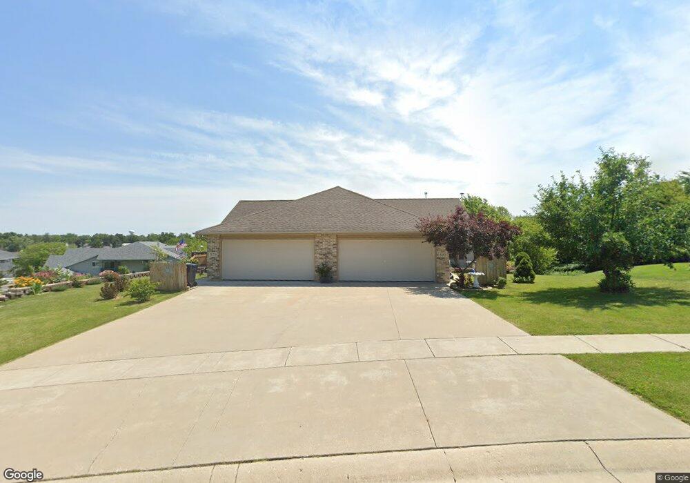
577 Island View Cir Hustisford, WI 53034
Estimated Value: $369,000 - $468,000
--
Bed
--
Bath
--
Sq Ft
0.51
Acres
About This Home
This home is located at 577 Island View Cir, Hustisford, WI 53034 and is currently estimated at $425,353. 577 Island View Cir is a home located in Dodge County with nearby schools including John Hustis Elementary School, Hustisford High School, and Bethany Lutheran School.
Ownership History
Date
Name
Owned For
Owner Type
Purchase Details
Closed on
Apr 11, 2008
Sold by
Pinnacle Building Inc
Bought by
Leonsteiner David J and Leonsteiner Vicki J
Current Estimated Value
Home Financials for this Owner
Home Financials are based on the most recent Mortgage that was taken out on this home.
Original Mortgage
$160,000
Outstanding Balance
$101,986
Interest Rate
6.09%
Mortgage Type
Construction
Estimated Equity
$323,367
Create a Home Valuation Report for This Property
The Home Valuation Report is an in-depth analysis detailing your home's value as well as a comparison with similar homes in the area
Home Values in the Area
Average Home Value in this Area
Purchase History
| Date | Buyer | Sale Price | Title Company |
|---|---|---|---|
| Leonsteiner David J | $33,900 | None Available |
Source: Public Records
Mortgage History
| Date | Status | Borrower | Loan Amount |
|---|---|---|---|
| Open | Leonsteiner David J | $160,000 |
Source: Public Records
Tax History Compared to Growth
Tax History
| Year | Tax Paid | Tax Assessment Tax Assessment Total Assessment is a certain percentage of the fair market value that is determined by local assessors to be the total taxable value of land and additions on the property. | Land | Improvement |
|---|---|---|---|---|
| 2024 | $5,671 | $437,400 | $41,200 | $396,200 |
| 2023 | $5,343 | $225,700 | $30,500 | $195,200 |
| 2022 | $5,880 | $225,700 | $30,500 | $195,200 |
| 2021 | $6,038 | $225,700 | $30,500 | $195,200 |
| 2020 | $6,155 | $225,700 | $30,500 | $195,200 |
| 2019 | $5,895 | $225,700 | $30,500 | $195,200 |
| 2018 | $5,412 | $225,700 | $30,500 | $195,200 |
| 2017 | $5,470 | $225,700 | $30,500 | $195,200 |
| 2016 | $5,719 | $225,700 | $30,500 | $195,200 |
| 2015 | $5,681 | $225,700 | $30,500 | $195,200 |
Source: Public Records
Map
Nearby Homes
- 252 S Hustis St
- 441 Sandy Ln
- 244 S Ridge St
- .68 Acre Parcel Anthony Island
- 727 E Lakeview Rd Unit 8
- W4436 E Lakeview Rd
- 827 E Lakeview Rd
- N4557 Lakeview Rd
- N4510 & N4504 Anthony Island
- N4510 Anthony Island -
- N4569 Hazelwood Rd
- N4554 Lakeview Rd
- N4973 Lake Dr
- Lt38 Sinissippi Point Rd
- N5025 Arrowhead Ct
- N4550 County Road Dj
- N3220 Hale Rd
- 000 Lt0 Sleepy Hollow Rd
- W2824 Fox Rd
- N5413 County Rd S
- 585 Island View Cir
- 575 Island View Cir
- Lt27 Island View Cir
- 0 Island View Cir Unit 50122227
- 0 Island View Cir Unit 50122229
- 0 Island View Cir Unit 50122221
- 0 Island View Cir Unit 50172458
- 570 Island View Cir
- 571 Island View Cir
- 511 Island View Cir
- 560 Island View Cir
- 550 Island View Cir
- 567 Island View Cir
- 540 Island View Cir
- 515 Island View Cir
- 485 W Griffith St Unit 8
- 485 W Griffith St Unit 7
- 485 W Griffith St Unit 6
- 485 W Griffith St Unit 5
- 485 W Griffith St Unit 4