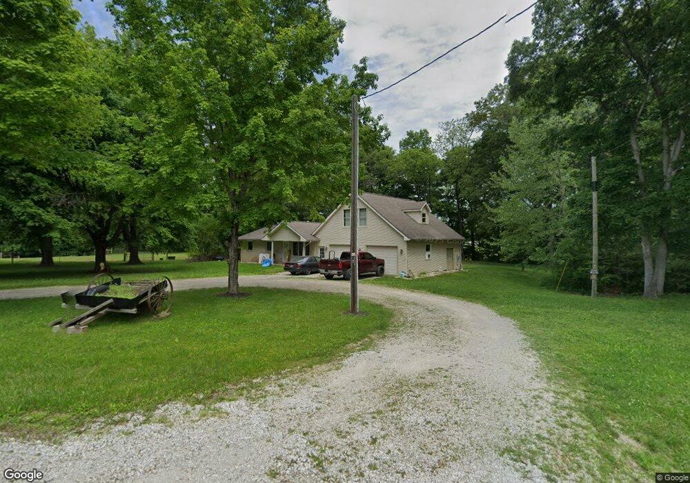
577 Mount Pleasant Rd Loogootee, IN 47553
Estimated Value: $194,000 - $316,000
3
Beds
2
Baths
1,073
Sq Ft
$224/Sq Ft
Est. Value
About This Home
This home is located at 577 Mount Pleasant Rd, Loogootee, IN 47553 and is currently estimated at $239,838, approximately $223 per square foot. 577 Mount Pleasant Rd is a home located in Martin County with nearby schools including Loogootee Elementary School, Loogootee Middle School, and Loogootee Junior/Senior High School.
Ownership History
Date
Name
Owned For
Owner Type
Purchase Details
Closed on
Feb 22, 2023
Sold by
Revocable Trust
Bought by
Tolbert Crystal R and Chandler Caden
Current Estimated Value
Home Financials for this Owner
Home Financials are based on the most recent Mortgage that was taken out on this home.
Original Mortgage
$177,500
Outstanding Balance
$171,747
Interest Rate
6.15%
Mortgage Type
New Conventional
Estimated Equity
$68,091
Purchase Details
Closed on
Feb 8, 2023
Sold by
Revocable Trust
Bought by
Lannan Samuel Wayne
Home Financials for this Owner
Home Financials are based on the most recent Mortgage that was taken out on this home.
Original Mortgage
$177,500
Outstanding Balance
$171,747
Interest Rate
6.15%
Mortgage Type
New Conventional
Estimated Equity
$68,091
Create a Home Valuation Report for This Property
The Home Valuation Report is an in-depth analysis detailing your home's value as well as a comparison with similar homes in the area
Home Values in the Area
Average Home Value in this Area
Purchase History
| Date | Buyer | Sale Price | Title Company |
|---|---|---|---|
| Tolbert Crystal R | -- | None Listed On Document | |
| Lannan Samuel Wayne | -- | None Listed On Document | |
| Lannan Samuel Wayne | -- | None Listed On Document |
Source: Public Records
Mortgage History
| Date | Status | Borrower | Loan Amount |
|---|---|---|---|
| Open | Tolbert Crystal R | $177,500 |
Source: Public Records
Tax History Compared to Growth
Tax History
| Year | Tax Paid | Tax Assessment Tax Assessment Total Assessment is a certain percentage of the fair market value that is determined by local assessors to be the total taxable value of land and additions on the property. | Land | Improvement |
|---|---|---|---|---|
| 2024 | $895 | $163,400 | $19,600 | $143,800 |
| 2023 | $895 | $138,000 | $22,400 | $115,600 |
| 2022 | $614 | $129,100 | $21,800 | $107,300 |
| 2021 | $611 | $113,700 | $20,100 | $93,600 |
| 2020 | $594 | $114,300 | $19,400 | $94,900 |
| 2019 | $544 | $109,500 | $18,700 | $90,800 |
| 2018 | $532 | $105,800 | $18,300 | $87,500 |
| 2017 | $451 | $100,400 | $18,000 | $82,400 |
| 2016 | $424 | $98,600 | $17,800 | $80,800 |
| 2014 | $368 | $96,000 | $17,000 | $79,000 |
| 2013 | -- | $93,400 | $17,000 | $76,400 |
Source: Public Records
Map
Nearby Homes
- 690 E Southridge Rd
- 0 Friends Creek Rd
- 513 Park St
- 803 & 805 Reason Ave Unit INCLUDES 111 TRUELOV
- 108 SW 2nd St
- 419 SW 3rd St
- 102 Eastgate Ave
- 98+/- Acres U S 231
- 508 E Broadway St
- 501 E Main St
- 106 Queen St
- 1559 Scenic Hill Rd
- Lot 24 Country Court S D V
- Lot 28 Country Court S D V
- Lot 12 Country Court S D V
- Lot 6 Country Court S D V
- Lot 39 Country Court S D V
- Lot 25 Country Court S D V
- Lot 7 Country Court S D V
- Lot 20 Country Court S D V
- 554 Mount Pleasant Rd
- 582 Mount Pleasant Rd
- 527 Mount Pleasant Rd
- 527 Mount Pleasant Rd
- 540 Mount Pleasant Rd
- 10354 Us Highway 231
- 687 Mount Pleasant Rd
- 542 E Southridge Rd
- 10469 Us Highway 231
- 578 E Southridge Rd
- 0 Southridge Rd
- 10431 Us Highway 231
- 10399 Us Highway 231
- 10399 Us Highway 231
- 10533 Us Highway 231
- 10533 Us Highway 231
- 612 E Southridge Rd
- 1004 Mount Pleasant Rd
- 10112 Us Highway 231
- 737 Mount Pleasant Rd