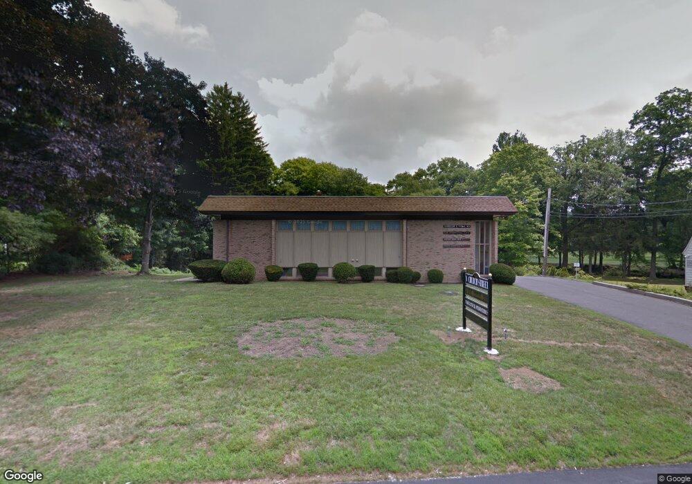
577 N Church St Naugatuck, CT 06770
Estimated Value: $678,044
--
Bed
--
Bath
2,321
Sq Ft
$292/Sq Ft
Est. Value
About This Home
This home is located at 577 N Church St, Naugatuck, CT 06770 and is currently estimated at $678,044, approximately $292 per square foot. 577 N Church St is a home located in New Haven County with nearby schools including City Hill Middle School and Naugatuck High School.
Ownership History
Date
Name
Owned For
Owner Type
Purchase Details
Closed on
May 3, 2018
Sold by
L & L Capital Llc
Bought by
Jams Realty Llc
Current Estimated Value
Purchase Details
Closed on
Dec 31, 2012
Sold by
Labriola Gerald
Bought by
L & L Capital Llc
Create a Home Valuation Report for This Property
The Home Valuation Report is an in-depth analysis detailing your home's value as well as a comparison with similar homes in the area
Home Values in the Area
Average Home Value in this Area
Purchase History
| Date | Buyer | Sale Price | Title Company |
|---|---|---|---|
| Jams Realty Llc | $345,000 | -- | |
| L & L Capital Llc | -- | -- | |
| L & L Capital Llc | $280,000 | -- | |
| Labriolla Gerald | -- | -- |
Source: Public Records
Mortgage History
| Date | Status | Borrower | Loan Amount |
|---|---|---|---|
| Previous Owner | Labriolla Gerald | $280,000 |
Source: Public Records
Tax History Compared to Growth
Tax History
| Year | Tax Paid | Tax Assessment Tax Assessment Total Assessment is a certain percentage of the fair market value that is determined by local assessors to be the total taxable value of land and additions on the property. | Land | Improvement |
|---|---|---|---|---|
| 2025 | $15,770 | $396,340 | $74,200 | $322,140 |
| 2024 | $16,563 | $396,340 | $74,200 | $322,140 |
| 2023 | $17,736 | $396,340 | $74,200 | $322,140 |
| 2022 | $14,218 | $297,750 | $76,150 | $221,600 |
| 2021 | $14,218 | $297,750 | $76,150 | $221,600 |
| 2020 | $14,218 | $297,750 | $76,150 | $221,600 |
| 2019 | $14,069 | $297,750 | $76,150 | $221,600 |
| 2018 | $16,322 | $337,570 | $72,520 | $265,050 |
| 2017 | $16,389 | $337,570 | $72,520 | $265,050 |
| 2016 | $16,092 | $337,570 | $72,520 | $265,050 |
| 2015 | $15,382 | $337,540 | $72,520 | $265,020 |
| 2014 | $15,210 | $337,540 | $72,520 | $265,020 |
| 2012 | $12,032 | $358,630 | $94,890 | $263,740 |
Source: Public Records
Map
Nearby Homes
- 0 Field St Unit 170385250
- 56 Buckingham St
- 55 Porter Ave Unit 4A
- 18 Bridge St Unit 1O
- 63 New St
- 23 Salem St
- 48 & 50 Anderson St
- 310 Hillside Ave
- 136 High Ridge Rd
- 53 Mill St
- 335 Quinn St
- 32 Greenwood St
- 31 Damson Ln
- 111 Mallane Ln Unit 19A
- 34 Birch Ln
- 33 Gaby Ln Unit 33
- 389 Quinn St
- 48 Round Tree Dr Unit 5
- 29 Gaby Ln
- 31 Gaby Ln
- 561 N Church St
- 583 N Church St
- 587 N Church St
- 564 N Church St
- 545 N Church St
- 589 N Church St
- 17 Beecher St
- 45 Sherman St
- 49 Beecher St
- 560 N Church St
- 604 N Church St
- 608 N Church St
- 40 Beecher St
- 55 Sherman St
- 0 Field St Unit 170070222
- 0 Field St Unit W1047804
- 0 Field St Unit W1054543
- 0 Field St Unit W1057480
- 0 Field St Unit W1063281
- 0 Field St Unit W1073835