577 New Liberty Estates Rd Clarkesville, GA 30523
Estimated Value: $466,000 - $493,260
3
Beds
3
Baths
1,736
Sq Ft
$276/Sq Ft
Est. Value
About This Home
This home is located at 577 New Liberty Estates Rd, Clarkesville, GA 30523 and is currently estimated at $479,420, approximately $276 per square foot. 577 New Liberty Estates Rd is a home located in Habersham County with nearby schools including Woodville Elementary School, North Habersham Middle School, and Habersham Success Academy.
Ownership History
Date
Name
Owned For
Owner Type
Purchase Details
Closed on
May 19, 2011
Sold by
Donovan Irene Climick
Bought by
Kemp Marilyn S
Current Estimated Value
Home Financials for this Owner
Home Financials are based on the most recent Mortgage that was taken out on this home.
Original Mortgage
$100,000
Outstanding Balance
$38,548
Interest Rate
4.79%
Mortgage Type
New Conventional
Estimated Equity
$440,872
Create a Home Valuation Report for This Property
The Home Valuation Report is an in-depth analysis detailing your home's value as well as a comparison with similar homes in the area
Home Values in the Area
Average Home Value in this Area
Purchase History
| Date | Buyer | Sale Price | Title Company |
|---|---|---|---|
| Kemp Marilyn S | $130,000 | -- | |
| Kemp Marilyn S | $130,000 | -- |
Source: Public Records
Mortgage History
| Date | Status | Borrower | Loan Amount |
|---|---|---|---|
| Open | Kemp Marilyn S | $100,000 | |
| Closed | Kemp Marilyn S | $100,000 |
Source: Public Records
Tax History Compared to Growth
Tax History
| Year | Tax Paid | Tax Assessment Tax Assessment Total Assessment is a certain percentage of the fair market value that is determined by local assessors to be the total taxable value of land and additions on the property. | Land | Improvement |
|---|---|---|---|---|
| 2025 | $1,511 | $180,324 | $73,455 | $106,869 |
| 2024 | -- | $163,956 | $56,480 | $107,476 |
| 2023 | $1,208 | $145,176 | $56,480 | $88,696 |
| 2022 | $1,397 | $132,420 | $56,480 | $75,940 |
| 2021 | $1,254 | $118,232 | $50,536 | $67,696 |
| 2020 | $1,254 | $108,584 | $50,536 | $58,048 |
| 2019 | $1,256 | $108,584 | $50,536 | $58,048 |
| 2018 | $1,229 | $108,584 | $50,536 | $58,048 |
| 2017 | $1,162 | $103,188 | $50,536 | $52,652 |
| 2016 | $1,065 | $257,970 | $50,536 | $52,652 |
| 2015 | $1,029 | $257,970 | $50,536 | $52,652 |
| 2014 | $1,043 | $253,960 | $50,536 | $51,048 |
| 2013 | -- | $101,584 | $50,536 | $51,048 |
Source: Public Records
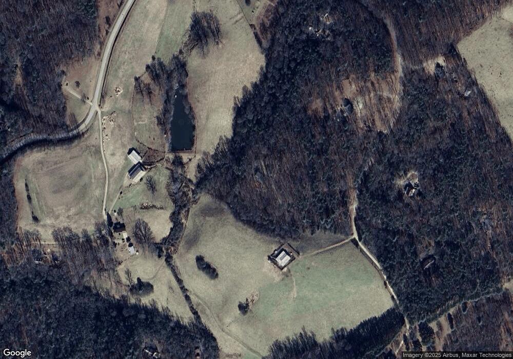
Map
Nearby Homes
- 501 the Orchard Rd
- 189 Crystal Wood Dr
- 0 Pinecrest Rd Unit LOT 3 10607966
- 0 Pinecrest Rd Unit LOT 2 10607965
- 945 Hank Fry Rd
- 0 Mountain Ridge Dr Unit 7628449
- LOT 2 Hollywood Church Rd
- LOT 3 Hollywood Church Rd
- LOT 4 Hollywood Church Rd
- 766 Hollywood Church Rd
- LOT 1 Hollywood Church Rd
- 282 Wild Iris Ln
- 0 TRACT 4 Annandale Dr
- 0 TRACT 3 Annandale Dr
- 0 TRACT 1 Annandale Dr
- 0 TRACT 2 Annandale Dr
- 347 Highlands Dr
- 5265 New Liberty Rd
- LOT 1446 Glazenwood Dr
- 0 Highlands Dr Unit LOT 24 10416130
- 577 New Liberty Estates Rd
- 502 R L Lovell Rd
- 465 New Liberty Estates Rd
- 490 New Liberty Estates Rd
- 490 New Liberty Estates Rd 0
- 490 New Liberty Estates Road 0
- 357 New Liberty Estates Rd
- 550 New Liberty Estates Rd
- 327 New Liberty Estates Rd
- 1074 Frank Lovell Rd
- 448 New Liberty Estates Rd
- 498 New Liberty Estates Rd
- 498 New Liberty Estates Road 0
- 567 the Orchard Rd
- 600 New Liberty Estates Rd
- 460 R L Lovell Rd
- 195 New Liberty Estates Rd
- 200 New Liberty Estates Rd
- 1066 Frank Lovell Rd
- R R L Lovell Rd