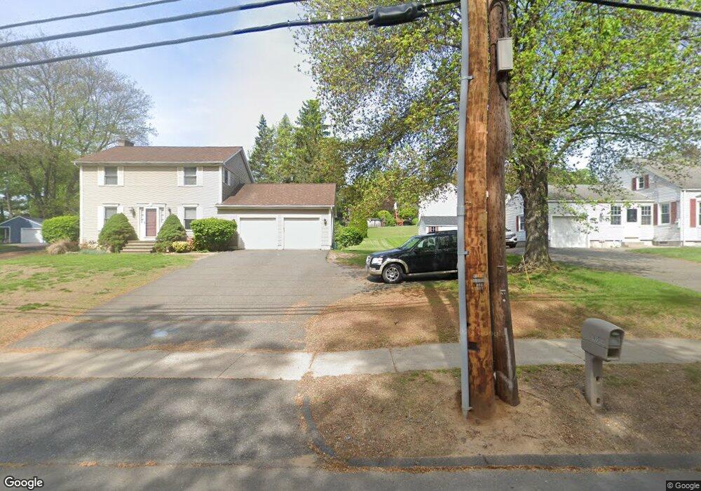
577 Piper Rd West Springfield, MA 01089
Estimated Value: $362,909 - $374,000
3
Beds
1
Bath
1,344
Sq Ft
$275/Sq Ft
Est. Value
About This Home
This home is located at 577 Piper Rd, West Springfield, MA 01089 and is currently estimated at $369,727, approximately $275 per square foot. 577 Piper Rd is a home located in Hampden County with nearby schools including West Springfield High School and St Thomas The Apostle School.
Create a Home Valuation Report for This Property
The Home Valuation Report is an in-depth analysis detailing your home's value as well as a comparison with similar homes in the area
Home Values in the Area
Average Home Value in this Area
Tax History
| Year | Tax Paid | Tax Assessment Tax Assessment Total Assessment is a certain percentage of the fair market value that is determined by local assessors to be the total taxable value of land and additions on the property. | Land | Improvement |
|---|---|---|---|---|
| 2025 | $4,419 | $297,200 | $128,300 | $168,900 |
| 2024 | $4,394 | $296,700 | $128,300 | $168,400 |
| 2023 | $4,242 | $273,000 | $128,300 | $144,700 |
| 2022 | $3,839 | $243,600 | $116,600 | $127,000 |
| 2021 | $3,591 | $212,500 | $95,300 | $117,200 |
| 2020 | $3,598 | $211,800 | $95,300 | $116,500 |
| 2019 | $3,592 | $211,800 | $95,300 | $116,500 |
| 2018 | $3,611 | $211,800 | $95,300 | $116,500 |
| 2017 | $3,611 | $211,800 | $95,300 | $116,500 |
| 2016 | $3,556 | $209,300 | $89,900 | $119,400 |
| 2015 | $3,481 | $204,900 | $87,800 | $117,100 |
| 2014 | $3,362 | $204,900 | $87,800 | $117,100 |
Source: Public Records
Map
Nearby Homes
- 36 Shady Brook
- 2 Windpath E
- 0 Ahiska Rd Unit 73477754
- 750 Amostown Rd
- 917 Elm St
- 61 Clarence St
- 240 Morton St
- 20-22 Gay Terrace
- 404 Brush Hill Ave
- 51-53 Abbe Ave
- 88 Verdugo St
- 65 Verdugo St
- 115 Grove St
- 32 Maple St
- 58 Field St
- 334 Elm St
- 81 Chestnut St
- 62 Talcott Ave
- 80 Brush Hill Ave Unit 61
- 31 North Blvd
Your Personal Tour Guide
Ask me questions while you tour the home.