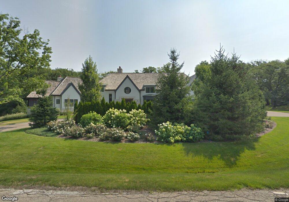
577 Rudgate Rd Bloomfield Hills, MI 48304
Estimated Value: $3,241,636 - $3,963,000
4
Beds
7
Baths
10,356
Sq Ft
$338/Sq Ft
Est. Value
About This Home
This home is located at 577 Rudgate Rd, Bloomfield Hills, MI 48304 and is currently estimated at $3,503,545, approximately $338 per square foot. 577 Rudgate Rd is a home located in Oakland County with nearby schools including Way Elementary School, South Hills Middle School, and Bloomfield Hills High School.
Ownership History
Date
Name
Owned For
Owner Type
Purchase Details
Closed on
Jun 30, 2011
Sold by
Mbank
Bought by
577 Rudgate Llc
Current Estimated Value
Purchase Details
Closed on
Nov 23, 2010
Sold by
Lafave Kurt and Lafave Sally
Bought by
Mbank
Purchase Details
Closed on
Apr 3, 2007
Sold by
Peck George A and Peck Andrea L
Bought by
Lafave Kurt S and Lafave Sally A
Purchase Details
Closed on
Dec 9, 1999
Sold by
Lorenz Paul F
Bought by
Peck George A
Create a Home Valuation Report for This Property
The Home Valuation Report is an in-depth analysis detailing your home's value as well as a comparison with similar homes in the area
Home Values in the Area
Average Home Value in this Area
Purchase History
| Date | Buyer | Sale Price | Title Company |
|---|---|---|---|
| 577 Rudgate Llc | -- | Title Source Ic | |
| Mbank | $502,281 | None Available | |
| Lafave Kurt S | -- | Multiple | |
| Peck George A | -- | -- |
Source: Public Records
Mortgage History
| Date | Status | Borrower | Loan Amount |
|---|---|---|---|
| Closed | Peck George A | -- |
Source: Public Records
Tax History Compared to Growth
Tax History
| Year | Tax Paid | Tax Assessment Tax Assessment Total Assessment is a certain percentage of the fair market value that is determined by local assessors to be the total taxable value of land and additions on the property. | Land | Improvement |
|---|---|---|---|---|
| 2024 | $74,533 | $2,377,610 | $0 | $0 |
| 2023 | $71,050 | $2,237,600 | $0 | $0 |
| 2022 | $90,988 | $2,200,640 | $0 | $0 |
| 2021 | $86,556 | $2,138,870 | $0 | $0 |
| 2020 | $63,244 | $1,973,140 | $0 | $0 |
| 2019 | $80,576 | $1,864,430 | $0 | $0 |
| 2018 | $78,780 | $1,808,820 | $0 | $0 |
| 2017 | $77,319 | $1,794,440 | $0 | $0 |
| 2016 | $75,436 | $1,639,410 | $0 | $0 |
| 2015 | -- | $531,740 | $0 | $0 |
| 2014 | -- | $196,810 | $0 | $0 |
| 2011 | -- | $218,680 | $0 | $0 |
Source: Public Records
Map
Nearby Homes
- 596 Rudgate Rd
- 270 Martell Dr
- 692 Bennington Dr
- 1348 Charrington Rd
- 1287 Charrington Rd
- 931 Vaughan Rd
- 4650 Lahser Rd
- 341 Keswick Rd
- 5825 Lahser Rd
- 3546 Bloomfield Club Dr
- 1019 N Cranbrook Rd
- 362 Keswick Rd
- 275 Barden Rd
- 2579 Amberly Rd
- 1260 Lyonhurst St
- 60 Kingsley Manor Dr
- 1120 Lyonhurst St
- 956 Westwood Dr
- 33 Boulder Ln Unit 2
- 130 Denbar Rd
- 295 Lone Pine Ct
- 578 Rudgate Rd
- 351 Lone Pine Ct
- 583 Rudgate Rd
- 255 Lone Pine Ct
- 569 Rudgate Rd
- 570 Rudgate Rd
- 264 Lone Pine Ct
- 401 Lone Pine Ct
- 560 Haverhill Rd
- 550 Haverhill Rd
- 298 Lone Pine Ct
- 540 Haverhill Rd
- 559 Bennington Dr
- 260 Joyce Ct
- 631 Rudgate Rd
- 581 Bennington Dr
- 412 Lone Pine Ct
- 530 Haverhill Rd
- 561 Rudgate Rd