577 S Mount Vernon Cir Unit 577 Bensalem, PA 19020
Estimated Value: $395,000 - $438,000
3
Beds
3
Baths
1,772
Sq Ft
$236/Sq Ft
Est. Value
About This Home
This home is located at 577 S Mount Vernon Cir Unit 577, Bensalem, PA 19020 and is currently estimated at $417,488, approximately $235 per square foot. 577 S Mount Vernon Cir Unit 577 is a home located in Bucks County with nearby schools including School Lane Charter School, St. Ephrem School, and Holy Ghost Preparatory School.
Ownership History
Date
Name
Owned For
Owner Type
Purchase Details
Closed on
Dec 27, 1996
Sold by
Avington William P and Avington Mary Kathleen
Bought by
Avington William P and Avington Mary Kathleen
Current Estimated Value
Purchase Details
Closed on
Aug 6, 1996
Sold by
Mcgovern Gerard and Mcgovern Joanne K
Bought by
Avington William P and Moran Mary Kathleen
Home Financials for this Owner
Home Financials are based on the most recent Mortgage that was taken out on this home.
Original Mortgage
$98,400
Interest Rate
8.18%
Mortgage Type
Balloon
Create a Home Valuation Report for This Property
The Home Valuation Report is an in-depth analysis detailing your home's value as well as a comparison with similar homes in the area
Home Values in the Area
Average Home Value in this Area
Purchase History
| Date | Buyer | Sale Price | Title Company |
|---|---|---|---|
| Avington William P | -- | -- | |
| Avington William P | $123,000 | -- |
Source: Public Records
Mortgage History
| Date | Status | Borrower | Loan Amount |
|---|---|---|---|
| Closed | Avington William P | $98,400 |
Source: Public Records
Tax History Compared to Growth
Tax History
| Year | Tax Paid | Tax Assessment Tax Assessment Total Assessment is a certain percentage of the fair market value that is determined by local assessors to be the total taxable value of land and additions on the property. | Land | Improvement |
|---|---|---|---|---|
| 2025 | $4,750 | $21,760 | -- | $21,760 |
| 2024 | $4,750 | $21,760 | $0 | $21,760 |
| 2023 | $4,616 | $21,760 | $0 | $21,760 |
| 2022 | $4,589 | $21,760 | $0 | $21,760 |
| 2021 | $4,589 | $21,760 | $0 | $21,760 |
| 2020 | $4,543 | $21,760 | $0 | $21,760 |
| 2019 | $4,442 | $21,760 | $0 | $21,760 |
| 2018 | $4,339 | $21,760 | $0 | $21,760 |
| 2017 | $4,312 | $21,760 | $0 | $21,760 |
| 2016 | $4,312 | $21,760 | $0 | $21,760 |
| 2015 | -- | $21,760 | $0 | $21,760 |
| 2014 | -- | $21,760 | $0 | $21,760 |
Source: Public Records
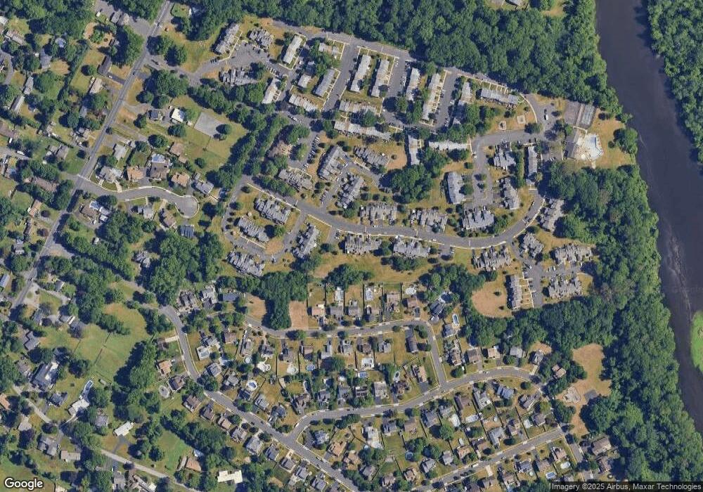
Map
Nearby Homes
- 580 S Mount Vernon Cir
- 393 Rutgers Ct Unit 393
- 419 Rutgers Ct
- 389 Rutgers Ct Unit 389
- 446 N Mount Vernon Cir Unit 446
- 435 N Mount Vernon Cir Unit 435
- 801 Cliff Rd
- 5102 Lighthouse Ln
- 5107 Leeward Rd
- 5110 Bay Rd
- 938 Ashton Rd
- 1100 Wayland Ave
- 953 Farley Rd
- 5217 Bay Rd
- 4783 Meeting Rd
- 4744 Dunston Rd
- L:15 Dunston Rd
- 3300 Newportville Rd
- 0 Newportville Rd Unit PABU487252
- 1440 Atterbury Way
- 578 S Mount Vernon Cir Unit 578
- 579 S Mount Vernon Cir
- 581 S Mount Vernon Cir Unit 581
- 582 S Mount Vernon Cir Unit 582
- 571 S Mount Vernon Cir
- 572 S Mount Vernon Cir
- 552 Princeton Ct Unit 552
- 565 Trinity Ct Unit 565
- 573 S Mount Vernon Cir Unit 573
- 551 Princeton Ct Unit 551
- 550 Princeton Ct Unit 550
- 549 Princeton Ct Unit 549
- 574 S Mount Vernon Cir Unit 574
- 566 Trinity Ct
- 548 Princeton Ct Unit 548
- 547 Princeton Ct Unit 547
- 583 S Mount Vernon Cir Unit 583
- 575 S Mount Vernon Cir Unit 575
- 567 Trinity Ct
- 576 S Mount Vernon Cir Unit 576