577 Sand Gap Rd Pennsboro, WV 26415
Estimated Value: $185,000 - $1,475,276
2
Beds
3
Baths
3,333
Sq Ft
$287/Sq Ft
Est. Value
About This Home
This home is located at 577 Sand Gap Rd, Pennsboro, WV 26415 and is currently estimated at $955,759, approximately $286 per square foot. 577 Sand Gap Rd is a home with nearby schools including Ritchie County High School.
Ownership History
Date
Name
Owned For
Owner Type
Purchase Details
Closed on
Dec 23, 2016
Sold by
Mccullough Thomas A and Mc Cullough Thomas A
Bought by
Heintzman Dennis R and Heintzman Clista A
Current Estimated Value
Home Financials for this Owner
Home Financials are based on the most recent Mortgage that was taken out on this home.
Original Mortgage
$350,000
Outstanding Balance
$275,693
Interest Rate
2.75%
Mortgage Type
New Conventional
Estimated Equity
$680,066
Create a Home Valuation Report for This Property
The Home Valuation Report is an in-depth analysis detailing your home's value as well as a comparison with similar homes in the area
Home Values in the Area
Average Home Value in this Area
Purchase History
| Date | Buyer | Sale Price | Title Company |
|---|---|---|---|
| Heintzman Dennis R | $835,000 | None Available |
Source: Public Records
Mortgage History
| Date | Status | Borrower | Loan Amount |
|---|---|---|---|
| Open | Heintzman Dennis R | $350,000 |
Source: Public Records
Tax History Compared to Growth
Tax History
| Year | Tax Paid | Tax Assessment Tax Assessment Total Assessment is a certain percentage of the fair market value that is determined by local assessors to be the total taxable value of land and additions on the property. | Land | Improvement |
|---|---|---|---|---|
| 2024 | $4,033 | $392,400 | $27,960 | $364,440 |
| 2023 | $4,071 | $373,800 | $26,700 | $347,100 |
| 2022 | $4,074 | $369,420 | $25,980 | $343,440 |
| 2021 | $3,727 | $337,980 | $26,700 | $311,280 |
| 2020 | $3,617 | $327,960 | $26,700 | $301,260 |
| 2019 | $3,582 | $324,840 | $26,460 | $298,380 |
| 2018 | $2,264 | $204,360 | $22,980 | $181,380 |
| 2017 | $172 | $15,540 | $15,540 | $0 |
| 2016 | $167 | $15,060 | $15,060 | $0 |
| 2015 | $164 | $14,760 | $14,760 | $0 |
| 2014 | -- | $14,640 | $14,640 | $0 |
Source: Public Records
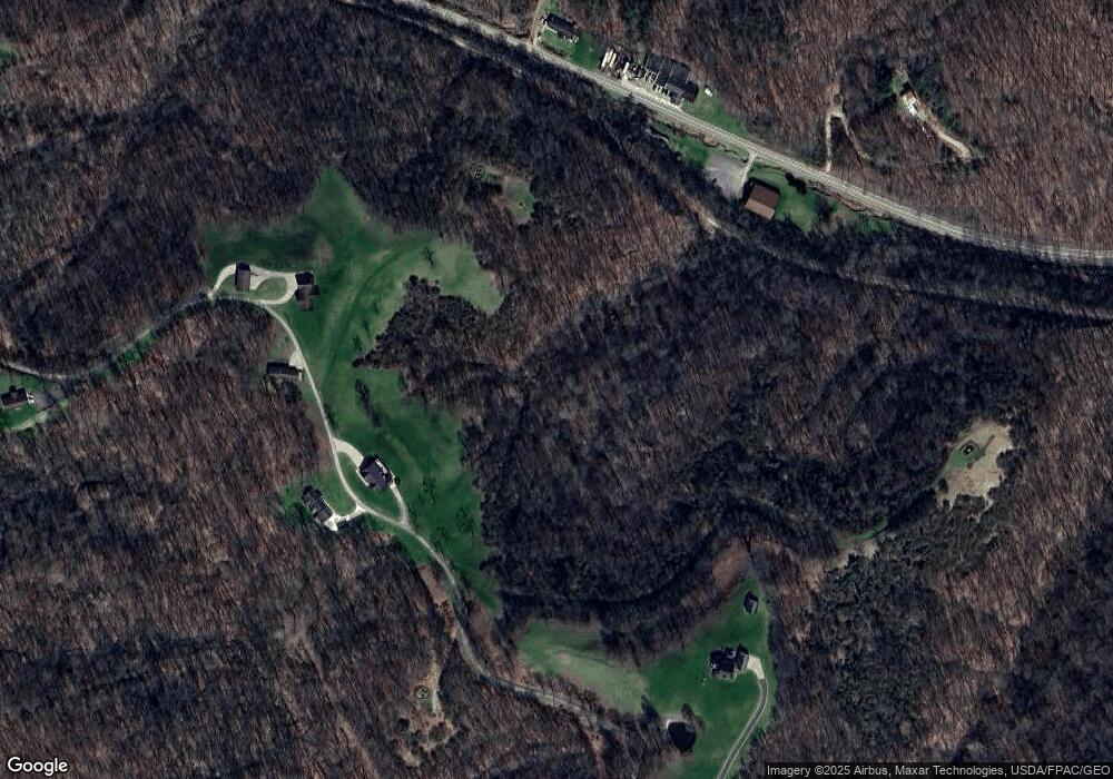
Map
Nearby Homes
- 708 E Penn Ave
- 302 E Myles Ave
- 208 E Myles Ave
- 206 E Myles Ave
- 705 Main St
- 697 Haddox Run Rd
- 1023 E Washington Ave Unit A
- 126 Madison St E
- 117 Mockingbird Hill Ln
- 52 Corbin Alley
- A&B Pullman Rd
- 1071 Goose Run Rd
- 909 Pearl St
- 600 E South St
- 3112 Indian Creek Rd
- 665 Cooper St
- 143 Virginia Ave
- 201 Virginia Ave
- 650 Sam Cavins Rd
- 856 Arnolds Creek Rd
- 403 Sand Gap Rd
- 501 Sand Gap Rd
- 50/23 Co Rd
- 507 Sand Gap Rd
- 101 Sand Gap Rd
- 101 Sand Gap Rd
- 915 E Myles Ave
- 00 NW Pike Rd
- 0 Co Rd 50 40 Unit M226157
- 0 NW Pike Rd Unit M236618
- 101 Glenway St
- 909 Us Route 50
- 1014 E Myles Ave
- 980 Sand Gap Rd
- 304 Pullman Dr
- 524548 Pik
- 0 Tunnel Hghts Unit M227402
- 905 E Myles Ave
- 107 Glenway St
- 7 Tunnel Rd