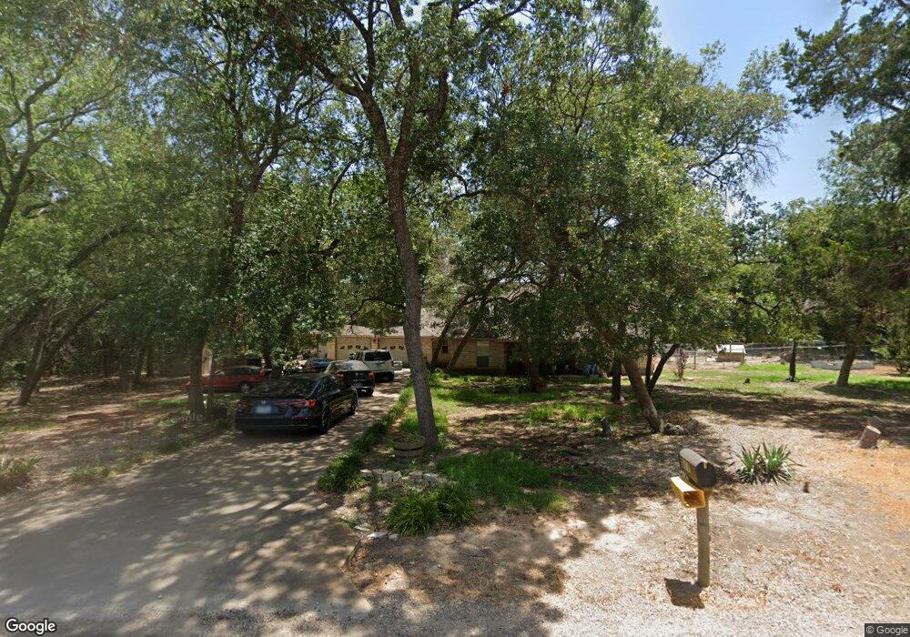
577 Smith Ln Bruceville, TX 76630
Estimated Value: $438,000 - $506,080
4
Beds
2
Baths
2,291
Sq Ft
$209/Sq Ft
Est. Value
About This Home
This home is located at 577 Smith Ln, Bruceville, TX 76630 and is currently estimated at $479,027, approximately $209 per square foot. 577 Smith Ln is a home located in McLennan County with nearby schools including Bruceville-Eddy Elementary School, Bruceville-Eddy Intermediate School, and Bruceville-Eddy Junior High School.
Ownership History
Date
Name
Owned For
Owner Type
Purchase Details
Closed on
Dec 17, 2015
Sold by
Ramburger Marshall L and Ramburger Arlette I
Bought by
Magouirk Michelle and Ramburger Matthew Wade
Current Estimated Value
Purchase Details
Closed on
Jun 30, 2005
Sold by
Mindock John L and Mindock Terri C
Bought by
Magouirk Joe and Magouirk Michelle L
Home Financials for this Owner
Home Financials are based on the most recent Mortgage that was taken out on this home.
Original Mortgage
$201,200
Outstanding Balance
$104,893
Interest Rate
5.64%
Mortgage Type
VA
Estimated Equity
$374,134
Create a Home Valuation Report for This Property
The Home Valuation Report is an in-depth analysis detailing your home's value as well as a comparison with similar homes in the area
Home Values in the Area
Average Home Value in this Area
Purchase History
| Date | Buyer | Sale Price | Title Company |
|---|---|---|---|
| Magouirk Michelle | -- | None Available | |
| Magouirk Joe | -- | First American Title Co |
Source: Public Records
Mortgage History
| Date | Status | Borrower | Loan Amount |
|---|---|---|---|
| Open | Magouirk Joe | $201,200 |
Source: Public Records
Tax History Compared to Growth
Tax History
| Year | Tax Paid | Tax Assessment Tax Assessment Total Assessment is a certain percentage of the fair market value that is determined by local assessors to be the total taxable value of land and additions on the property. | Land | Improvement |
|---|---|---|---|---|
| 2025 | -- | $430,140 | $57,670 | $372,470 |
| 2024 | $5,934 | $444,008 | $0 | $0 |
| 2023 | $5,486 | $403,644 | $0 | $0 |
| 2022 | $5,863 | $366,949 | $0 | $0 |
| 2021 | $6,018 | $333,590 | $45,590 | $288,000 |
| 2020 | $5,664 | $305,140 | $44,770 | $260,370 |
| 2019 | $5,753 | $298,450 | $39,550 | $258,900 |
| 2018 | $5,290 | $280,170 | $38,780 | $241,390 |
| 2017 | $4,854 | $242,820 | $29,280 | $213,540 |
| 2016 | $4,655 | $232,850 | $29,280 | $203,570 |
| 2015 | -- | $225,090 | $29,280 | $195,810 |
| 2014 | -- | $225,090 | $29,280 | $195,810 |
Source: Public Records
Map
Nearby Homes
- 118 Deer Trail
- 184 Deer Bottom
- 1013 Park Lake Dr
- 1001 Park Lake Dr
- 222 Kennedy Ln
- 0 Horseshoe Bend
- TBD Horseshoe Bend
- 805 Lusk Creek Rd
- 221 Horseshoe Bend
- 108 Brown Dr
- 110 Brown Dr
- TBD Old Bethany Rd
- 1006 Eagle Dr
- 5.83 ac. TBD Hodge Rd
- 2371 Old Bethany Rd
- 224 Melissa St
- 218 Melissa St
- 220 Melissa St
- 209 Hungry Hill Rd
- 306 Eagle Dr