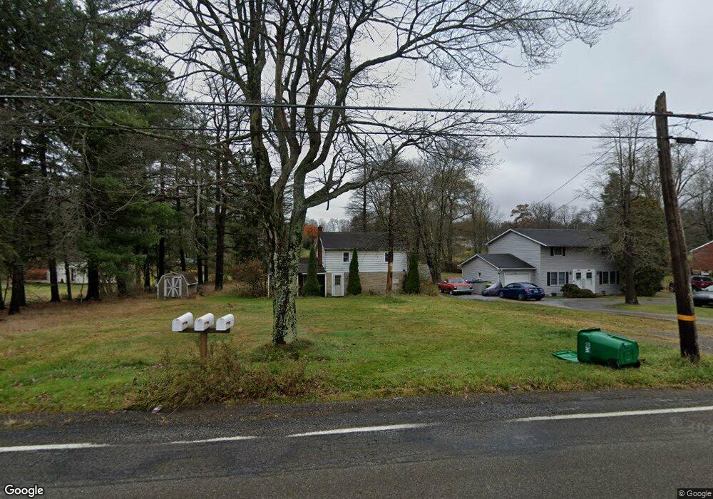
577 Whitestown Rd Butler, PA 16001
Butler NeighborhoodEstimated Value: $112,508 - $255,000
2
Beds
1
Bath
1,768
Sq Ft
$102/Sq Ft
Est. Value
About This Home
This home is located at 577 Whitestown Rd, Butler, PA 16001 and is currently estimated at $181,127, approximately $102 per square foot. 577 Whitestown Rd is a home located in Butler County with nearby schools including Butler Intermediate High School, Butler Middle School, and First Baptist Christian School.
Ownership History
Date
Name
Owned For
Owner Type
Purchase Details
Closed on
Aug 18, 2008
Sold by
Kaib Keith A
Bought by
Lloyd Stephen F
Current Estimated Value
Home Financials for this Owner
Home Financials are based on the most recent Mortgage that was taken out on this home.
Original Mortgage
$76,973
Outstanding Balance
$50,693
Interest Rate
6.4%
Mortgage Type
FHA
Estimated Equity
$130,434
Create a Home Valuation Report for This Property
The Home Valuation Report is an in-depth analysis detailing your home's value as well as a comparison with similar homes in the area
Home Values in the Area
Average Home Value in this Area
Purchase History
| Date | Buyer | Sale Price | Title Company |
|---|---|---|---|
| Lloyd Stephen F | $78,000 | -- |
Source: Public Records
Mortgage History
| Date | Status | Borrower | Loan Amount |
|---|---|---|---|
| Open | Lloyd Stephen F | $76,973 |
Source: Public Records
Tax History Compared to Growth
Tax History
| Year | Tax Paid | Tax Assessment Tax Assessment Total Assessment is a certain percentage of the fair market value that is determined by local assessors to be the total taxable value of land and additions on the property. | Land | Improvement |
|---|---|---|---|---|
| 2025 | $1,469 | $9,890 | $2,280 | $7,610 |
| 2024 | $1,443 | $9,890 | $2,280 | $7,610 |
| 2023 | $1,413 | $9,890 | $2,280 | $7,610 |
| 2022 | $1,413 | $9,890 | $2,280 | $7,610 |
| 2021 | $1,413 | $9,890 | $0 | $0 |
| 2020 | $1,413 | $9,890 | $2,280 | $7,610 |
| 2019 | $1,383 | $9,890 | $2,280 | $7,610 |
| 2018 | $1,383 | $9,890 | $2,280 | $7,610 |
| 2017 | $1,352 | $9,890 | $2,280 | $7,610 |
| 2016 | $428 | $9,890 | $2,280 | $7,610 |
| 2015 | $201 | $9,890 | $2,280 | $7,610 |
| 2014 | $201 | $9,890 | $2,280 | $7,610 |
Source: Public Records
Map
Nearby Homes
- 594 Whitestown Rd
- 219 Meridian Rd
- 105 Lawrence Ave
- 500 Whitestown Rd
- 105 Reich Ave
- 100 Marion Dr
- 397 Evans City Rd
- 104 N Eberhart Rd
- 111 N Eberhart Rd
- 4125 Loring St
- REGENT Plan at Autumn Woods
- CROFTON Plan at Autumn Woods
- 446 Eagle Mill Rd
- 1404 Cherry Tree Dr
- 1402 Cherry Tree Dr
- 1401 Cherry Tree Dr
- 1403 Cherry Tree Dr
- 1302 Cherry Tree Dr
- 1301 Cherry Tree Dr
- 1303 Cherry Tree Dr
- 575 Whitestown Rd
- 579 1/2 Whitestown Rd
- 579 Whitestown Rd
- 567 Whitestown Rd Unit A
- 578 Whitestown Rd
- 574 Whitestown Rd
- 583 Whitestown Rd
- 580 Whitestown Rd
- 565 Whitestown Rd
- 127 Delason Ave
- 129 Delason Ave
- 136 Lawrence Ave
- 125 Delason Ave
- 139 Lawrence Ave
- 131 Delason Ave
- 587 Whitestown Rd
- 119 Delason Ave
- 566 Whitestown Rd
- 561 Whitestown Rd
- 137 Lawrence Ave