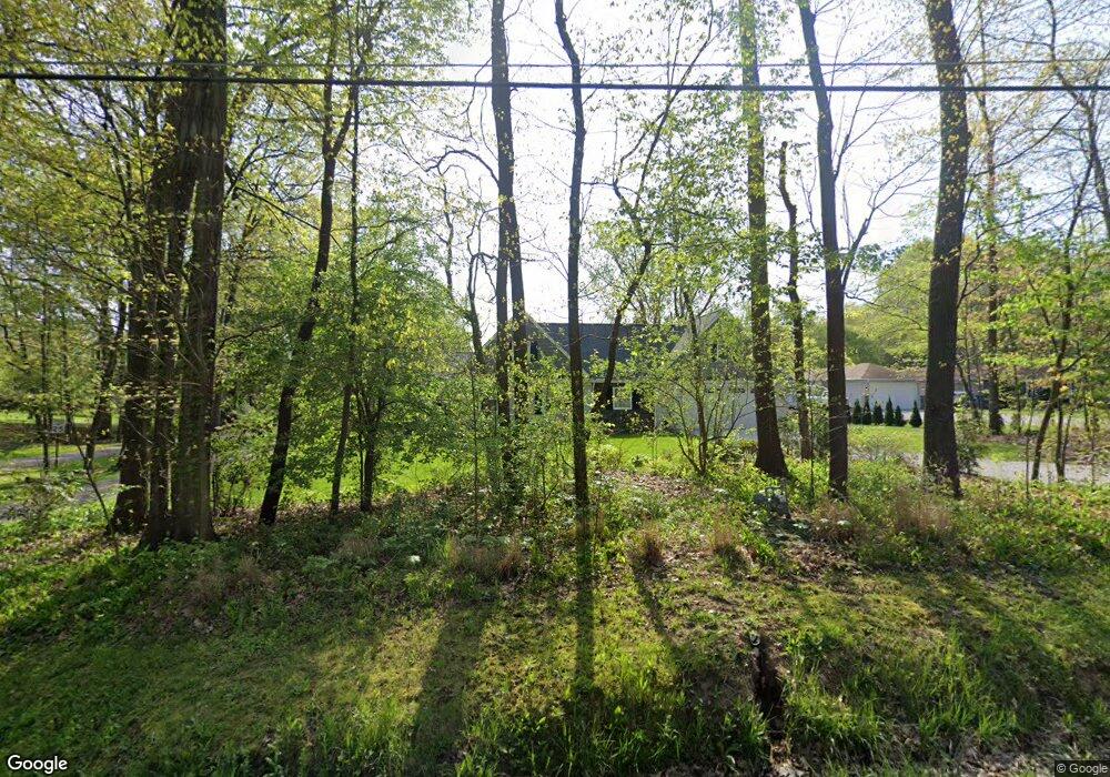
5771 Myers Rd New Franklin, OH 44319
Estimated Value: $276,000 - $348,000
4
Beds
2
Baths
2,503
Sq Ft
$126/Sq Ft
Est. Value
About This Home
This home is located at 5771 Myers Rd, New Franklin, OH 44319 and is currently estimated at $314,753, approximately $125 per square foot. 5771 Myers Rd is a home located in Summit County.
Ownership History
Date
Name
Owned For
Owner Type
Purchase Details
Closed on
Oct 8, 2008
Sold by
Sloan Billie G and Sloan Nancy L
Bought by
Sloan Billie G and Billie G Sloan Revocable Trust
Current Estimated Value
Create a Home Valuation Report for This Property
The Home Valuation Report is an in-depth analysis detailing your home's value as well as a comparison with similar homes in the area
Home Values in the Area
Average Home Value in this Area
Purchase History
| Date | Buyer | Sale Price | Title Company |
|---|---|---|---|
| Sloan Billie G | -- | Attorney |
Source: Public Records
Tax History Compared to Growth
Tax History
| Year | Tax Paid | Tax Assessment Tax Assessment Total Assessment is a certain percentage of the fair market value that is determined by local assessors to be the total taxable value of land and additions on the property. | Land | Improvement |
|---|---|---|---|---|
| 2025 | $4,936 | $98,760 | $20,773 | $77,987 |
| 2024 | $4,936 | $98,760 | $20,773 | $77,987 |
| 2023 | $4,936 | $98,760 | $20,773 | $77,987 |
| 2022 | $4,540 | $70,792 | $14,732 | $56,060 |
| 2021 | $4,557 | $70,792 | $14,732 | $56,060 |
| 2020 | $4,478 | $70,790 | $14,730 | $56,060 |
| 2019 | $4,957 | $70,240 | $11,960 | $58,280 |
| 2018 | $4,277 | $70,240 | $11,960 | $58,280 |
| 2017 | $2,863 | $47,950 | $11,960 | $35,990 |
| 2016 | $2,829 | $42,560 | $11,960 | $30,600 |
| 2015 | $2,863 | $42,560 | $11,960 | $30,600 |
| 2014 | $2,841 | $42,560 | $11,960 | $30,600 |
| 2013 | $2,952 | $44,440 | $11,960 | $32,480 |
Source: Public Records
Map
Nearby Homes
- 451 Yager Rd
- 6407 Southview Dr
- 5776 Harter Home Dr
- 899 Loway Dr
- 715 Highland Park Dr
- 781 Leeman Dr
- 427 Center Rd
- 6090 Manchester Rd Unit 6096
- 0 W Comet Rd Unit 5079117
- 1062 Stump Rd
- 7060 Manchester Rd
- 6387 Hampsher Rd
- 5892 Woodward Dr
- S/L 14,15 Shakes Hotel Dr
- 4944 Coleman Dr
- 6 Shrakes Hotel Dr
- 4 Shrakes Hotel Dr
- 7 Shrakes Hotel Dr
- 5 Shrakes Hotel Dr
- 3 Shrakes Hotel Dr
- 5783 Myers Rd
- 5753 Myers Rd
- 5782 Myers Rd
- 5797 Myers Rd
- 298 S Messner Rd
- 5764 Myers Rd
- 5805 Myers Rd
- 5802 Myers Rd
- 293 S Messner Rd
- 293 S Messner Rd
- 5734 Myers Rd
- 290 S Messner Rd
- 5731 Myers Rd
- 5754 Myers Rd
- 5814 Myers Rd
- 5819 Myers Rd
- 289 S Messner Rd
- 382 S Messner Rd
- 5724 Myers Rd
- 280 S Messner Rd