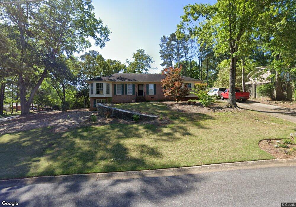
5774 Forrest Rd Stone Mountain, GA 30087
Smoke Rise NeighborhoodEstimated Value: $345,000 - $407,000
3
Beds
2
Baths
1,713
Sq Ft
$220/Sq Ft
Est. Value
About This Home
This home is located at 5774 Forrest Rd, Stone Mountain, GA 30087 and is currently estimated at $376,660, approximately $219 per square foot. 5774 Forrest Rd is a home located in Gwinnett County with nearby schools including Camp Creek Elementary School, Trickum Middle School, and Parkview High School.
Ownership History
Date
Name
Owned For
Owner Type
Purchase Details
Closed on
Oct 31, 1997
Sold by
Benedict Kent L and Benedict Ana L
Bought by
Buell R S and Murray Dana E
Current Estimated Value
Home Financials for this Owner
Home Financials are based on the most recent Mortgage that was taken out on this home.
Original Mortgage
$104,000
Outstanding Balance
$15,891
Interest Rate
7.31%
Mortgage Type
New Conventional
Estimated Equity
$360,769
Create a Home Valuation Report for This Property
The Home Valuation Report is an in-depth analysis detailing your home's value as well as a comparison with similar homes in the area
Home Values in the Area
Average Home Value in this Area
Purchase History
| Date | Buyer | Sale Price | Title Company |
|---|---|---|---|
| Buell R S | $130,000 | -- |
Source: Public Records
Mortgage History
| Date | Status | Borrower | Loan Amount |
|---|---|---|---|
| Open | Buell R S | $104,000 |
Source: Public Records
Tax History
| Year | Tax Paid | Tax Assessment Tax Assessment Total Assessment is a certain percentage of the fair market value that is determined by local assessors to be the total taxable value of land and additions on the property. | Land | Improvement |
|---|---|---|---|---|
| 2025 | $5,339 | $150,520 | $22,200 | $128,320 |
| 2024 | $5,486 | $151,560 | $22,200 | $129,360 |
| 2023 | $5,486 | $144,920 | $24,000 | $120,920 |
| 2022 | $4,570 | $117,760 | $24,000 | $93,760 |
| 2021 | $3,669 | $91,160 | $17,200 | $73,960 |
| 2020 | $3,689 | $91,160 | $17,200 | $73,960 |
| 2019 | $3,263 | $82,800 | $14,000 | $68,800 |
| 2018 | $3,094 | $77,960 | $14,000 | $63,960 |
| 2016 | $2,789 | $68,760 | $14,000 | $54,760 |
| 2015 | $2,530 | $60,680 | $14,000 | $46,680 |
| 2014 | -- | $51,360 | $14,000 | $37,360 |
Source: Public Records
Map
Nearby Homes
- 507 Castleaire Dr Unit 1
- 2360 Ivey Oaks Place
- 886 Oakhill Ct
- 2173 Spencers Way
- 4969 Dufour Dr
- 771/761 Mountainbrooke Cir SW
- 771 Mountainbrooke Cir SW
- 930 Old Tucker Rd
- 5798 Musket Ln
- 717 Oxford Ct SW
- 5498 Smoke Rise Dr
- 353 Old Rosser Rd
- 5013 Oakwood Dr
- 5005 Oakwood Dr
- 5011 Oakwood Dr
- 5015 Oakwood Dr
- 5523 Bahia Mar Cir
- 292 Old Rosser Rd
- 262 Harmony Grove Rd
- 5464 Breathitt Dr SW
- 5784 Forrest Rd
- 687 Rollingwood Place
- 5794 Forrest Rd
- 5773 Forrest Rd
- 697 Rollingwood Place
- 5754 Forrest Rd
- 686 Rollingwood Place
- 5783 Forrest Rd
- 5763 Forrest Rd
- 696 Rollingwood Place
- 5793 Forrest Rd
- 707 Rollingwood Place
- 5753 Forrest Rd
- 684 Old Tucker Rd
- 694 Old Tucker Rd
- 674 Old Tucker Rd
- 704 Old Tucker Rd
- 5734 Forrest Rd
- 706 Rollingwood Dr
- 714 Old Tucker Rd
Your Personal Tour Guide
Ask me questions while you tour the home.