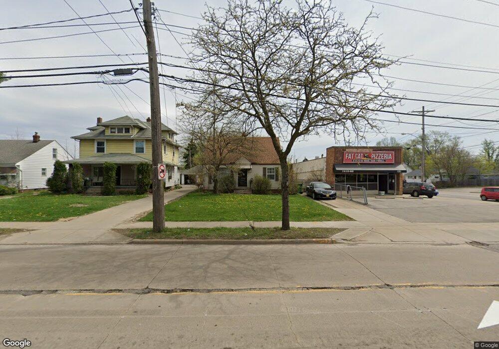
5775 Dunham Rd Maple Heights, OH 44137
Estimated Value: $123,889 - $147,000
2
Beds
2
Baths
1,274
Sq Ft
$104/Sq Ft
Est. Value
About This Home
This home is located at 5775 Dunham Rd, Maple Heights, OH 44137 and is currently estimated at $132,972, approximately $104 per square foot. 5775 Dunham Rd is a home located in Cuyahoga County with nearby schools including Abraham Lincoln Elementary School, Rockside/ J.F. Kennedy School, and Barack Obama School.
Ownership History
Date
Name
Owned For
Owner Type
Purchase Details
Closed on
Oct 16, 1998
Sold by
Minite Theresa
Bought by
Minite Josephine and Minite Joanne
Current Estimated Value
Home Financials for this Owner
Home Financials are based on the most recent Mortgage that was taken out on this home.
Original Mortgage
$36,000
Outstanding Balance
$6,703
Interest Rate
6.88%
Estimated Equity
$126,269
Purchase Details
Closed on
Sep 6, 1990
Sold by
Guth Catherine
Bought by
Minite Theresa
Purchase Details
Closed on
Jan 1, 1975
Bought by
Guth Catherine
Create a Home Valuation Report for This Property
The Home Valuation Report is an in-depth analysis detailing your home's value as well as a comparison with similar homes in the area
Home Values in the Area
Average Home Value in this Area
Purchase History
| Date | Buyer | Sale Price | Title Company |
|---|---|---|---|
| Minite Josephine | -- | U S Title Agency Inc | |
| Minite Theresa | $54,900 | -- | |
| Guth Catherine | -- | -- |
Source: Public Records
Mortgage History
| Date | Status | Borrower | Loan Amount |
|---|---|---|---|
| Open | Minite Josephine | $36,000 |
Source: Public Records
Tax History
| Year | Tax Paid | Tax Assessment Tax Assessment Total Assessment is a certain percentage of the fair market value that is determined by local assessors to be the total taxable value of land and additions on the property. | Land | Improvement |
|---|---|---|---|---|
| 2025 | $2,163 | $36,750 | $6,510 | $30,240 |
| 2024 | $2,431 | $36,750 | $6,510 | $30,240 |
| 2023 | $1,657 | $24,500 | $5,670 | $18,830 |
| 2022 | $1,934 | $27,230 | $5,670 | $21,560 |
| 2021 | $2,064 | $27,230 | $5,670 | $21,560 |
| 2020 | $1,537 | $20,650 | $4,310 | $16,350 |
| 2019 | $1,524 | $59,000 | $12,300 | $46,700 |
| 2018 | $1,406 | $20,650 | $4,310 | $16,350 |
| 2017 | $1,398 | $19,320 | $3,500 | $15,820 |
| 2016 | $1,347 | $19,320 | $3,500 | $15,820 |
| 2015 | $1,307 | $19,320 | $3,500 | $15,820 |
| 2014 | $1,307 | $19,920 | $3,610 | $16,310 |
Source: Public Records
Map
Nearby Homes
- 14808 James Ave
- 15800 Northwood Ave
- 5948 Dunham Rd
- 15313 Fernway Dr
- 14320 Janice Dr
- 6045 Dunham Rd
- 14012 Wheeler Rd
- 14112 Krems Ave
- 6089 Dunham Rd
- 5853 Monica Ln
- 15401 Walvern Blvd
- 15513 Walvern Blvd
- 14956 Carol Dr
- 13905 Thraves Ave
- 15701 Walvern Blvd
- 13810 Martin Dr
- 13800 Milo Rd
- 16406 Home St
- 5650 Lafayette Ave
- 14357 Turney Rd
- 5771 Dunham Rd
- 5781 Dunham Rd
- 15213 Rockside Rd
- 5765 Dunham Rd
- 15217 Rockside Rd
- 15300 Maplewood Ave
- 5761 Dunham Rd
- 15304 Maplewood Ave
- 15301 Rockside Rd
- 15308 Maplewood Ave
- 15305 Rockside Rd
- 5751 Dunham Rd
- 15312 Maplewood Ave
- 15210 Rockside Rd
- 15309 Rockside Rd
- 5811 Dunham Rd
- 15316 Maplewood Ave
- 15216 Rockside Rd
- 5749 Dunham Rd
- 15301 Maplewood Ave
Your Personal Tour Guide
Ask me questions while you tour the home.