5779 N 1700 W Smithfield, UT 84335
Estimated Value: $644,000 - $819,373
--
Bed
--
Bath
2,166
Sq Ft
$338/Sq Ft
Est. Value
About This Home
This home is located at 5779 N 1700 W, Smithfield, UT 84335 and is currently estimated at $731,687, approximately $337 per square foot. 5779 N 1700 W is a home with nearby schools including Birch Creek School, North Cache Middle School, and White Pine Middle School.
Ownership History
Date
Name
Owned For
Owner Type
Purchase Details
Closed on
Jul 10, 2019
Sold by
Letham David and Letham Louise
Bought by
Letham David and Letham Louise
Current Estimated Value
Purchase Details
Closed on
Apr 9, 2007
Sold by
Letham Louise
Bought by
Letham David and Letham Louise
Home Financials for this Owner
Home Financials are based on the most recent Mortgage that was taken out on this home.
Original Mortgage
$60,000
Outstanding Balance
$36,058
Interest Rate
6.13%
Mortgage Type
Credit Line Revolving
Estimated Equity
$695,629
Purchase Details
Closed on
Mar 30, 2006
Sold by
Milton & Betty Lou Butler 2000 Family Tr
Bought by
Letham David and Letham Louise
Purchase Details
Closed on
Oct 22, 2001
Sold by
Butler Milton W and Butler Betty Lou
Bought by
Butler Milton W and Butler Betty Lou
Create a Home Valuation Report for This Property
The Home Valuation Report is an in-depth analysis detailing your home's value as well as a comparison with similar homes in the area
Home Values in the Area
Average Home Value in this Area
Purchase History
| Date | Buyer | Sale Price | Title Company |
|---|---|---|---|
| Letham David | -- | None Available | |
| Letham David | -- | Hickman Land Title Company | |
| Letham David | -- | Accommodation | |
| Butler Milton W | -- | -- |
Source: Public Records
Mortgage History
| Date | Status | Borrower | Loan Amount |
|---|---|---|---|
| Open | Letham David | $60,000 |
Source: Public Records
Tax History Compared to Growth
Tax History
| Year | Tax Paid | Tax Assessment Tax Assessment Total Assessment is a certain percentage of the fair market value that is determined by local assessors to be the total taxable value of land and additions on the property. | Land | Improvement |
|---|---|---|---|---|
| 2025 | $2,784 | $455,085 | $0 | $0 |
| 2024 | $2,871 | $434,285 | $0 | $0 |
| 2023 | $3,061 | $433,070 | $0 | $0 |
| 2022 | $3,203 | $433,070 | $0 | $0 |
| 2021 | $2,701 | $533,881 | $99,223 | $434,658 |
| 2020 | $2,588 | $479,991 | $99,223 | $380,768 |
| 2019 | $2,604 | $458,441 | $81,673 | $376,768 |
| 2018 | $2,464 | $419,948 | $81,673 | $338,275 |
| 2017 | $2,486 | $236,715 | $0 | $0 |
| 2016 | $2,516 | $233,855 | $0 | $0 |
| 2015 | $2,283 | $215,350 | $0 | $0 |
| 2014 | $2,212 | $215,210 | $0 | $0 |
| 2013 | -- | $215,210 | $0 | $0 |
Source: Public Records
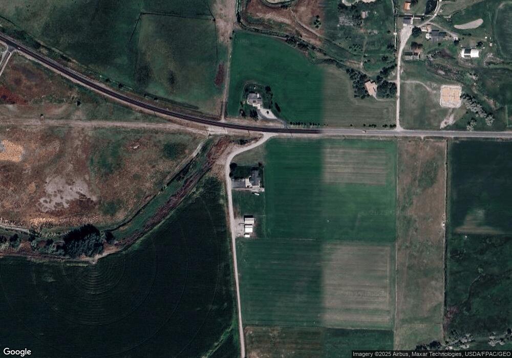
Map
Nearby Homes
- 1246 W 6600 N
- 353 N 770 W
- 610 W 100 N Unit 18
- 544 N 800 W
- 527 N 770 W
- 669 W 575 N Unit 552
- 669 W 575 N
- 698 N 650 W Unit 640
- 581 W 230 N
- 771 W 600 N
- 2643 W 5230 N Unit 2
- 767 W 600 N
- 757 W 600 N Unit N649
- 517 W 260 N
- 662 W 650 N
- 674 W 650 N
- Rosewood Plan at The Village at Fox Meadows - Smithfield (Townhomes)
- Huckleberry Plan at The Village at Fox Meadows - Smithfield (Townhomes)
- Rosewood w/ Unfinished Basement Plan at The Village at Fox Meadows - Smithfield (Townhomes)
- Huckleberry w/ Unfinished Basement Plan at The Village at Fox Meadows - Smithfield (Townhomes)
- 1625 W Highway 218
- 1531 W Highway 218
- 1471 W Highway 218
- 5650 N 2000 W
- 5625 N 1200 W
- 2080 W Highway 218
- 1590 W 5400 N
- 5841 N 1200 W
- 2090 W Highway 218
- 5845 N 1200 W
- 5909 N 1200 W
- 1404 W 6200 N
- 5535 N 1200 W
- 1362 W 5400 N
- 1975 W 5400 N
- 5490 N 2000 W
- 9200 N 1600 W
- 4400 N 1200 W
- 1600 W 6200 N
- 5650 N 1200 W