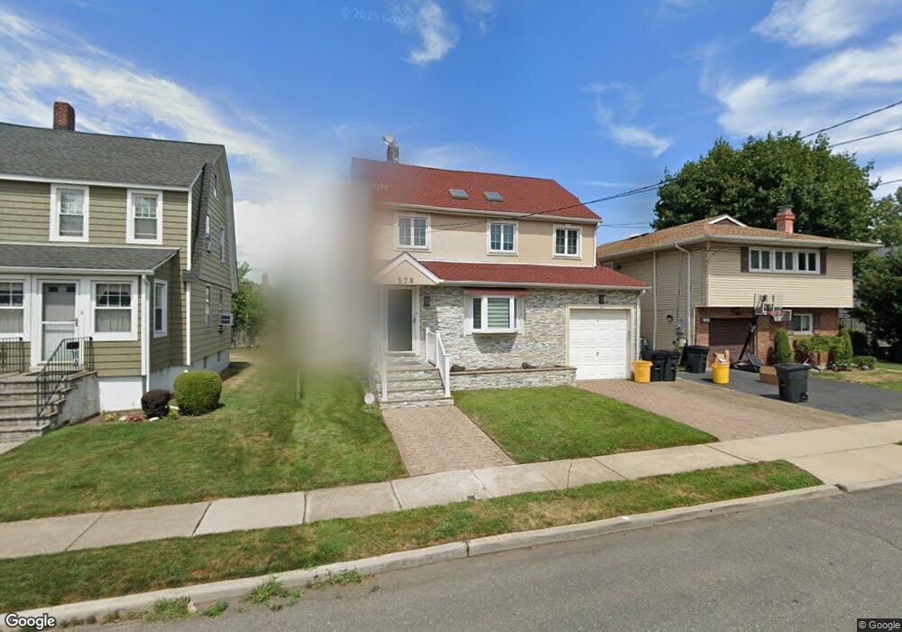
578 1st St Cedarhurst, NY 11516
Estimated Value: $1,166,000
4
Beds
3
Baths
2,438
Sq Ft
$478/Sq Ft
Est. Value
About This Home
This home is located at 578 1st St, Cedarhurst, NY 11516 and is currently estimated at $1,166,000, approximately $478 per square foot. 578 1st St is a home located in Nassau County with nearby schools including Lawrence Primary School, Lawrence Elementary School, and Lawrence Middle School.
Ownership History
Date
Name
Owned For
Owner Type
Purchase Details
Closed on
Mar 8, 2021
Sold by
Rosenburg David and Rosenburg Leah
Bought by
Gross Charles J and Gross Risa T
Current Estimated Value
Home Financials for this Owner
Home Financials are based on the most recent Mortgage that was taken out on this home.
Original Mortgage
$622,500
Outstanding Balance
$558,027
Interest Rate
2.7%
Mortgage Type
New Conventional
Estimated Equity
$607,973
Purchase Details
Closed on
Oct 21, 2002
Sold by
Teramo Jason
Bought by
Rosenberg David
Create a Home Valuation Report for This Property
The Home Valuation Report is an in-depth analysis detailing your home's value as well as a comparison with similar homes in the area
Home Values in the Area
Average Home Value in this Area
Purchase History
| Date | Buyer | Sale Price | Title Company |
|---|---|---|---|
| Gross Charles J | $891,000 | Fidelity National Title | |
| Rosenberg David | $477,500 | -- |
Source: Public Records
Mortgage History
| Date | Status | Borrower | Loan Amount |
|---|---|---|---|
| Open | Gross Charles J | $622,500 |
Source: Public Records
Tax History Compared to Growth
Tax History
| Year | Tax Paid | Tax Assessment Tax Assessment Total Assessment is a certain percentage of the fair market value that is determined by local assessors to be the total taxable value of land and additions on the property. | Land | Improvement |
|---|---|---|---|---|
| 2025 | $9,357 | $678 | $215 | $463 |
| 2024 | $3,396 | $713 | $230 | $483 |
| 2023 | $9,391 | $720 | $232 | $488 |
| 2022 | $9,391 | $720 | $232 | $488 |
| 2021 | $12,670 | $749 | $242 | $507 |
| 2020 | $9,612 | $943 | $766 | $177 |
| 2019 | $3,249 | $1,011 | $770 | $241 |
| 2018 | $5,900 | $1,078 | $0 | $0 |
| 2017 | $6,507 | $1,195 | $821 | $374 |
| 2016 | $9,961 | $1,195 | $761 | $434 |
| 2015 | $3,465 | $1,289 | $821 | $468 |
| 2014 | $3,465 | $1,289 | $821 | $468 |
| 2013 | $3,197 | $1,289 | $821 | $468 |
Source: Public Records
Map
Nearby Homes
- 569 Peninsula Blvd
- 7 Park Cir
- 25 Park Cir
- 410 Church Ave
- 511 Redwood Dr
- 359 Derby Ave
- 508 Monroe St
- 544 Arlington Rd
- 439 Bayview Ave
- 536 Albemarle Rd
- 559 Arlington Place
- 542 Hemlock Dr
- 590 W Broadway
- 708 Park Ln
- 709 Carlyle St
- 558 Oxford Rd
- 486 Oxford Rd
- 563 Oxford Rd
- 567 Oxford Rd
- 361 Westminster Rd
- 582 1st St
- 574 1st St
- 570 1st St
- 575 Peninsula Blvd
- 577 Peninsula Blvd
- 535 Arbuckle Ave
- 569 Peninsula Blvd
- 539 Arbuckle Ave
- 579 1st St
- 564 1st St
- 564 1st St Unit B
- 583 1st St
- 540 Oakland Ave
- 575 1st St Unit 3
- 545 Arbuckle Ave
- 525 Arbuckle Ave
- 544 Oakland Ave
- 544 Oakland Ave Unit 1
- 520 Oakland Ave
- 516 Oakland Ave