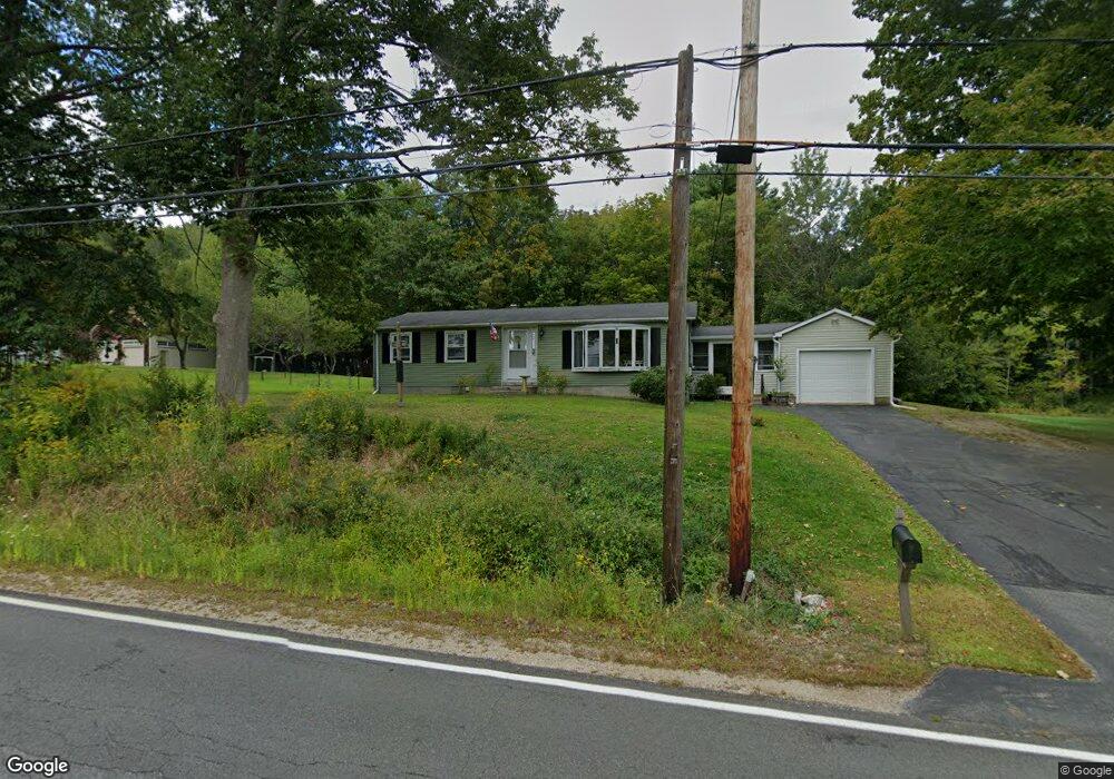
578 Goodwin Rd Eliot, ME 03903
East Eliot NeighborhoodEstimated Value: $469,328 - $521,000
2
Beds
1
Bath
1,056
Sq Ft
$468/Sq Ft
Est. Value
About This Home
This home is located at 578 Goodwin Rd, Eliot, ME 03903 and is currently estimated at $493,832, approximately $467 per square foot. 578 Goodwin Rd is a home located in York County with nearby schools including Marshwood High School and Seacoast Waldorf School.
Ownership History
Date
Name
Owned For
Owner Type
Purchase Details
Closed on
Nov 18, 2022
Sold by
Poulin Eric and Poulin Michelle
Bought by
Galeno Michael
Current Estimated Value
Home Financials for this Owner
Home Financials are based on the most recent Mortgage that was taken out on this home.
Original Mortgage
$359,584
Outstanding Balance
$348,413
Interest Rate
6.94%
Mortgage Type
FHA
Estimated Equity
$145,419
Create a Home Valuation Report for This Property
The Home Valuation Report is an in-depth analysis detailing your home's value as well as a comparison with similar homes in the area
Home Values in the Area
Average Home Value in this Area
Purchase History
| Date | Buyer | Sale Price | Title Company |
|---|---|---|---|
| Galeno Michael | -- | None Available |
Source: Public Records
Mortgage History
| Date | Status | Borrower | Loan Amount |
|---|---|---|---|
| Open | Galeno Michael | $359,584 |
Source: Public Records
Tax History
| Year | Tax Paid | Tax Assessment Tax Assessment Total Assessment is a certain percentage of the fair market value that is determined by local assessors to be the total taxable value of land and additions on the property. | Land | Improvement |
|---|---|---|---|---|
| 2024 | $4,580 | $386,500 | $129,600 | $256,900 |
| 2023 | $4,403 | $359,400 | $123,100 | $236,300 |
| 2022 | $3,048 | $251,900 | $111,900 | $140,000 |
| 2021 | $2,909 | $239,200 | $102,200 | $137,000 |
| 2020 | $5,653 | $211,500 | $97,300 | $114,200 |
| 2019 | $3,109 | $211,500 | $97,300 | $114,200 |
| 2018 | $5,419 | $211,500 | $97,300 | $114,200 |
| 2017 | $1,334 | $208,100 | $97,300 | $110,800 |
| 2016 | $2,924 | $208,100 | $97,300 | $110,800 |
| 2015 | $2,913 | $208,100 | $97,300 | $110,800 |
| 2014 | $2,872 | $208,100 | $97,300 | $110,800 |
| 2013 | $2,741 | $208,100 | $97,300 | $110,800 |
Source: Public Records
Map
Nearby Homes
- 390 Goodwin Rd
- 65 Wildbrook Ln
- 25 Heritage Dr
- Lot 4 Stonecrop Farm Ln
- Lot 1 Brixham (Stonecrop Farm Lot 1) Rd
- 116 Heron Cove Rd
- 4 Bhoireann Ln
- 3 Bhoireann Ln
- 60 Pine Hill Rd S Unit 315
- 19 Bayberry Dr
- 42 Caslyn Dr
- 296 Dow Hwy
- 8 Caslyn Dr
- 25 Fosters Dr
- 220 Dover Point Rd
- 11 Ayers Ln
- 6 Isaac Lucas Cir
- 25 Schooner Dr
- 0 Franks Fort Island Unit 1650383
- 21 Clearwater Dr
- 578 Goodwin Rd
- 582 Goodwin Rd
- 570 Goodwin Rd
- 581 Goodwin Rd
- 571 Goodwin Rd
- 590 Goodwin Rd
- 589 Goodwin Rd
- 567 Goodwin Rd
- 227 Goodwin Rd
- 5 Sierra Ridge Rd
- 36 Sierra Ridge Rd
- 2 Sierra Ridge Rd
- 1 Sierra Ridge Rd
- 566 Goodwin Rd
- 547 Goodwin Rd
- 26 Thunder Rock Rd
- 0 Sierra Ridge Rd
- 614 Goodwin Rd
- 543 Goodwin Rd
- 544 Goodwin Rd
Your Personal Tour Guide
Ask me questions while you tour the home.