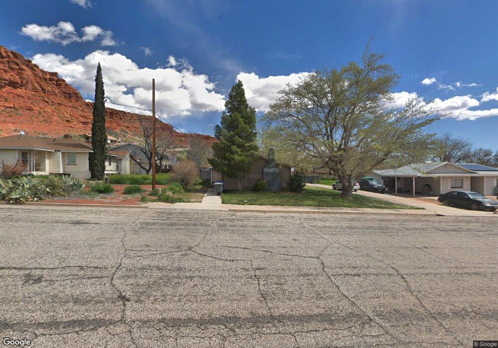
578 N 400 W Saint George, UT 84770
Estimated Value: $434,582 - $489,000
3
Beds
2
Baths
1,800
Sq Ft
$249/Sq Ft
Est. Value
About This Home
This home is located at 578 N 400 W, Saint George, UT 84770 and is currently estimated at $448,896, approximately $249 per square foot. 578 N 400 W is a home located in Washington County with nearby schools including Heritage School, Dixie Middle School, and Dixie Intermediate School.
Ownership History
Date
Name
Owned For
Owner Type
Purchase Details
Closed on
Jan 14, 2011
Sold by
Torlos Darin
Bought by
Torlos Jennifer
Current Estimated Value
Purchase Details
Closed on
Jun 22, 2007
Sold by
Torlos Darin
Bought by
Torlos Darin and Torlos Jennifer
Purchase Details
Closed on
Jul 10, 2006
Sold by
Wagenman James
Bought by
Lefler Michael
Home Financials for this Owner
Home Financials are based on the most recent Mortgage that was taken out on this home.
Original Mortgage
$36,000
Interest Rate
6.57%
Mortgage Type
Stand Alone Second
Purchase Details
Closed on
Jun 7, 2006
Sold by
Fountaine Joy Marlene
Bought by
Wagenman James
Home Financials for this Owner
Home Financials are based on the most recent Mortgage that was taken out on this home.
Original Mortgage
$36,000
Interest Rate
6.57%
Mortgage Type
Stand Alone Second
Create a Home Valuation Report for This Property
The Home Valuation Report is an in-depth analysis detailing your home's value as well as a comparison with similar homes in the area
Home Values in the Area
Average Home Value in this Area
Purchase History
| Date | Buyer | Sale Price | Title Company |
|---|---|---|---|
| Torlos Jennifer | -- | None Available | |
| Torlos Darin | -- | Provo Land Title St George B | |
| Torlos Darin | -- | Provo Land Title St George B | |
| Lefler Michael | -- | Southern Utah Title Co | |
| Wagenman James | -- | None Available |
Source: Public Records
Mortgage History
| Date | Status | Borrower | Loan Amount |
|---|---|---|---|
| Previous Owner | Lefler Michael | $36,000 | |
| Previous Owner | Lefler Michael | $144,000 |
Source: Public Records
Tax History Compared to Growth
Tax History
| Year | Tax Paid | Tax Assessment Tax Assessment Total Assessment is a certain percentage of the fair market value that is determined by local assessors to be the total taxable value of land and additions on the property. | Land | Improvement |
|---|---|---|---|---|
| 2025 | $405 | $248,875 | $75,625 | $173,250 |
| 2023 | $1,325 | $242,275 | $69,575 | $172,700 |
| 2022 | $1,512 | $237,105 | $60,500 | $176,605 |
| 2021 | $1,267 | $294,400 | $88,000 | $206,400 |
| 2020 | $1,236 | $244,000 | $60,000 | $184,000 |
| 2019 | $1,192 | $229,800 | $55,000 | $174,800 |
| 2018 | $1,190 | $115,005 | $0 | $0 |
| 2017 | $1,019 | $98,450 | $0 | $0 |
| 2016 | $984 | $88,990 | $0 | $0 |
| 2015 | $484 | $84,425 | $0 | $0 |
| 2014 | $926 | $79,915 | $0 | $0 |
Source: Public Records
Map
Nearby Homes
- 485 W Diagonal Unit 11
- 485 Diagonal St Unit 11
- 485 N 400 W
- 550 W 600 N Unit 9
- 454 W 400 N
- 311 N Donlee Dr
- 301 N Donlee Dr
- 468 Ridgeview Dr
- 578 S Cecita Way
- 590 S Cecita Way
- 567 Ridgeview Dr
- 453 Northridge Ave
- 568 N 950 W
- 588 N 950 W
- 571 W 15 Cir N
- 250 S Donlee Dr Unit J
- 250 S Donlee Dr
- 592 N 1050 W
- 663 W 65 S
- 438 N Stone Mountain Dr Unit 5