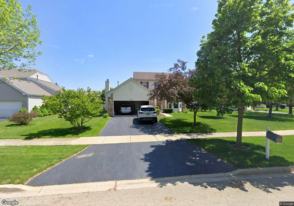
578 Sumac Dr Unit 5 Aurora, IL 60506
Blackberry Countryside NeighborhoodEstimated Value: $397,483 - $423,000
3
Beds
3
Baths
1,908
Sq Ft
$214/Sq Ft
Est. Value
About This Home
This home is located at 578 Sumac Dr Unit 5, Aurora, IL 60506 and is currently estimated at $408,121, approximately $213 per square foot. 578 Sumac Dr Unit 5 is a home located in Kane County with nearby schools including Kaneland Mcdole Elementary School, Harter Middle School, and Kaneland High School.
Ownership History
Date
Name
Owned For
Owner Type
Purchase Details
Closed on
Mar 15, 2022
Sold by
Avila Eulalio
Bought by
Avila Eulalio and Avila Guillermo
Current Estimated Value
Purchase Details
Closed on
Nov 24, 2003
Sold by
Lindens Venture Llc
Bought by
Avila Eulalio and Avila Hermelinda
Home Financials for this Owner
Home Financials are based on the most recent Mortgage that was taken out on this home.
Original Mortgage
$268,900
Interest Rate
5.88%
Mortgage Type
Purchase Money Mortgage
Create a Home Valuation Report for This Property
The Home Valuation Report is an in-depth analysis detailing your home's value as well as a comparison with similar homes in the area
Home Values in the Area
Average Home Value in this Area
Purchase History
| Date | Buyer | Sale Price | Title Company |
|---|---|---|---|
| Avila Eulalio | -- | None Listed On Document | |
| Avila Eulalio | $283,500 | First American Title |
Source: Public Records
Mortgage History
| Date | Status | Borrower | Loan Amount |
|---|---|---|---|
| Previous Owner | Avila Eulalio | $268,900 |
Source: Public Records
Tax History
| Year | Tax Paid | Tax Assessment Tax Assessment Total Assessment is a certain percentage of the fair market value that is determined by local assessors to be the total taxable value of land and additions on the property. | Land | Improvement |
|---|---|---|---|---|
| 2024 | $9,120 | $106,723 | $28,866 | $77,857 |
| 2023 | $8,784 | $96,251 | $26,034 | $70,217 |
| 2022 | $8,519 | $88,858 | $24,034 | $64,824 |
| 2021 | $8,249 | $84,562 | $22,872 | $61,690 |
| 2020 | $8,180 | $82,758 | $22,384 | $60,374 |
| 2019 | $8,090 | $80,052 | $21,652 | $58,400 |
| 2018 | $7,643 | $74,850 | $19,813 | $55,037 |
| 2017 | $7,444 | $71,483 | $18,922 | $52,561 |
| 2016 | $7,263 | $68,333 | $18,088 | $50,245 |
| 2015 | -- | $63,577 | $16,829 | $46,748 |
| 2014 | -- | $65,760 | $16,092 | $49,668 |
| 2013 | -- | $66,451 | $16,261 | $50,190 |
Source: Public Records
Map
Nearby Homes
- 579 Homestead Ct
- 3262 Homestead Ave
- 7S355 Midfield Dr
- 2091 Jericho Rd
- 413 Cottrell Ln
- 417 Cottrell Ln
- 396 Cottrell Ln
- 425 Cottrell Ln
- 378 Cottrell Ln
- 393 S Constitution Dr
- 387 S Constitution Dr
- 381 S Constitution Dr
- 433 Cottrell Ln
- 375 S Constitution Dr
- 417 S Constitution Dr
- 2972 Trillium Ct E
- 925 Lindenwood Dr Unit 1
- 2487 Worthington Dr
- 245 Goldenrod Dr
- 319 Atkinson Dr
- 602 Sumac Dr
- 554 Sumac Dr Unit 5
- 614 Sumac Dr Unit 5
- 542 Sumac Dr Unit 5
- 2813 Woodside Ct Unit 5
- 571 Sumac Dr
- 583 Sumac Dr
- 2803 Woodside Ct
- 595 Sumac Dr
- 536 Sumac Dr
- 565 Sumac Dr
- 626 Sumac Dr Unit 5
- 607 Sumac Dr
- 530 Sumac Dr Unit 5
- 547 Sumac Dr Unit 5
- 619 Sumac Dr Unit 5
- 553 Sumac Dr Unit 5
- 541 Sumac Dr
- 559 Sumac Dr
- 638 Sumac Dr Unit 5
Your Personal Tour Guide
Ask me questions while you tour the home.