578 W Deckerville Rd Matlock, WA 98560
Estimated Value: $404,000 - $516,000
2
Beds
1
Bath
1,408
Sq Ft
$320/Sq Ft
Est. Value
About This Home
This home is located at 578 W Deckerville Rd, Matlock, WA 98560 and is currently estimated at $450,391, approximately $319 per square foot. 578 W Deckerville Rd is a home located in Mason County with nearby schools including Mary M. Knight School and Washington Connections Academy.
Ownership History
Date
Name
Owned For
Owner Type
Purchase Details
Closed on
Aug 13, 2020
Sold by
Koivisto Kenneth L
Bought by
Benjamin Kenneth W and Benjamin Dana M
Current Estimated Value
Home Financials for this Owner
Home Financials are based on the most recent Mortgage that was taken out on this home.
Original Mortgage
$270,000
Outstanding Balance
$239,509
Interest Rate
3%
Mortgage Type
Seller Take Back
Estimated Equity
$210,882
Create a Home Valuation Report for This Property
The Home Valuation Report is an in-depth analysis detailing your home's value as well as a comparison with similar homes in the area
Purchase History
| Date | Buyer | Sale Price | Title Company |
|---|---|---|---|
| Benjamin Kenneth W | $300,000 | Mason County Title Company |
Source: Public Records
Mortgage History
| Date | Status | Borrower | Loan Amount |
|---|---|---|---|
| Open | Benjamin Kenneth W | $270,000 |
Source: Public Records
Tax History
| Year | Tax Paid | Tax Assessment Tax Assessment Total Assessment is a certain percentage of the fair market value that is determined by local assessors to be the total taxable value of land and additions on the property. | Land | Improvement |
|---|---|---|---|---|
| 2025 | $916 | $391,425 | $115,125 | $276,300 |
| 2023 | $916 | $335,875 | $72,745 | $263,130 |
| 2022 | $850 | $284,710 | $55,530 | $229,180 |
| 2021 | $849 | $284,710 | $55,530 | $229,180 |
| 2020 | $2,294 | $244,790 | $55,530 | $189,260 |
| 2018 | $2,102 | $171,225 | $84,460 | $86,765 |
| 2017 | $1,768 | $171,225 | $84,460 | $86,765 |
| 2016 | $1,621 | $164,535 | $83,640 | $80,895 |
| 2015 | $1,692 | $148,090 | $71,340 | $76,750 |
| 2014 | -- | $150,015 | $71,340 | $78,675 |
| 2013 | -- | $154,685 | $73,800 | $80,885 |
Source: Public Records
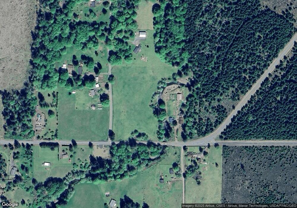
Map
Nearby Homes
- 1531 W Ford Rd
- 981 W Homer Adams Rd
- 211 W New Moon Ln
- 20 W Newberry Ln
- 151 W Buck Prairie Rd
- 220 W Buck Prairie Rd
- 0 E of Bingham Creek Unit NWM2465199
- 1982 W Ford Loop Rd
- 0 Lot A W Satsop Bridge Rd
- 0 Lot B W Satsop Bridge Rd
- 0 Cougar Smith Rd
- 1600 W Star Lake Dr
- 120 W Prairie Loop Rd
- 7910 W Matlock Brady Rd
- 192 Arrowhead Dr
- 24 W Tipi Ct
- 131 W Chimacum Dr
- 231 W Simpson Rd
- 56 W Totem Dr
- 3211 W Little Egypt Rd
- 547 W Deckerville Rd
- 50 W Dry Bed Creek Rd
- 0 W Deckerville Rd NW Unit NWM30900690
- 110 W Maple Rock Rd
- 120 W Dry Bed Creek Rd
- 91 W Maple Rock Rd
- 250 W Maple Rock Rd
- 201 W Maple Rock Rd
- 818 W Deckerville Rd
- 351 W Dry Bed Creek Rd
- 0 W Dry Bed Creek Rd
- 861 W Deckerville Rd
- 1041 W Deckerville Rd
- 101 W Dry Bed Ln
- 0 W Deckerville Rd Unit 24931002
- TR1 W Deckerville Rd
- 371 W Dry Bed Creek Rd
- 271 W Maple Rock Rd
- 192 W Dry Bed Creek Rd
- 51 W Dry Bed Ln
Your Personal Tour Guide
Ask me questions while you tour the home.