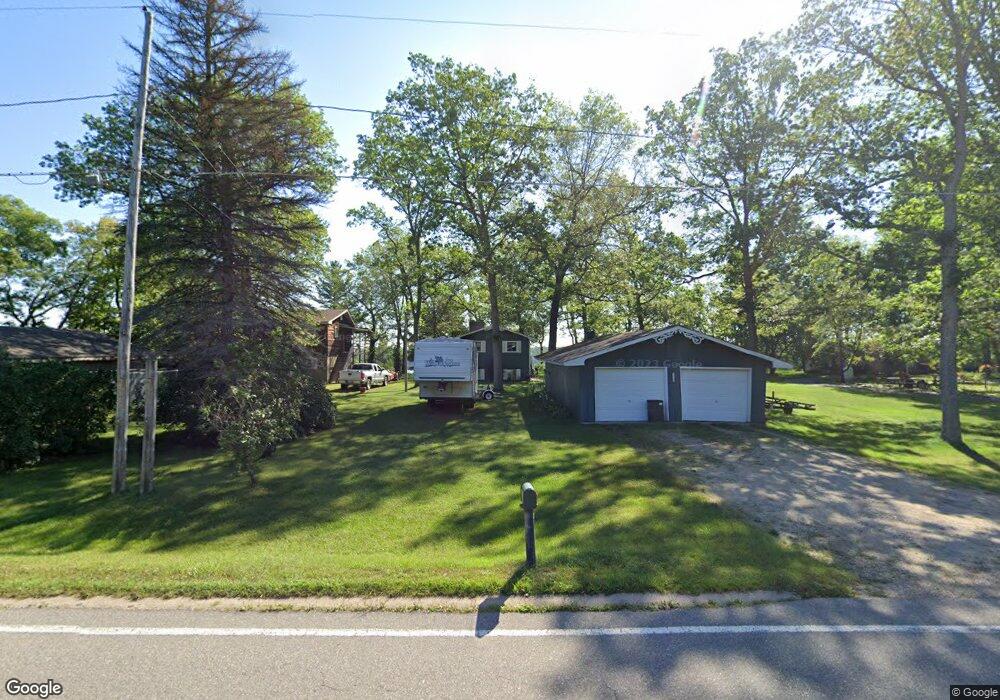
5780 Pear Ave Newaygo, MI 49337
Estimated Value: $295,000 - $389,000
2
Beds
2
Baths
1,771
Sq Ft
$185/Sq Ft
Est. Value
About This Home
This home is located at 5780 Pear Ave, Newaygo, MI 49337 and is currently estimated at $328,346, approximately $185 per square foot. 5780 Pear Ave is a home located in Newaygo County with nearby schools including Vera Wilsie Elementary School, Newaygo Elementary School, and Newaygo Middle School.
Ownership History
Date
Name
Owned For
Owner Type
Purchase Details
Closed on
Sep 27, 2011
Sold by
Brugel Ronald L and Brugel Sandra L
Bought by
Heimbecker Jerry L
Current Estimated Value
Home Financials for this Owner
Home Financials are based on the most recent Mortgage that was taken out on this home.
Original Mortgage
$124,230
Outstanding Balance
$83,784
Interest Rate
3.87%
Mortgage Type
FHA
Estimated Equity
$244,562
Purchase Details
Closed on
Aug 13, 2008
Sold by
Mckee Elsie A and Heppler Barbara J
Bought by
Brugel Ronald L
Purchase Details
Closed on
Aug 13, 2004
Sold by
Gibson John A
Bought by
Cole Michael J
Create a Home Valuation Report for This Property
The Home Valuation Report is an in-depth analysis detailing your home's value as well as a comparison with similar homes in the area
Purchase History
| Date | Buyer | Sale Price | Title Company |
|---|---|---|---|
| Heimbecker Jerry L | $127,462 | -- | |
| Brugel Ronald L | $97,000 | -- | |
| Cole Michael J | $140,000 | -- |
Source: Public Records
Mortgage History
| Date | Status | Borrower | Loan Amount |
|---|---|---|---|
| Open | Heimbecker Jerry L | $124,230 |
Source: Public Records
Tax History
| Year | Tax Paid | Tax Assessment Tax Assessment Total Assessment is a certain percentage of the fair market value that is determined by local assessors to be the total taxable value of land and additions on the property. | Land | Improvement |
|---|---|---|---|---|
| 2025 | $1,330 | $152,300 | $0 | $0 |
| 2024 | $13 | $122,400 | $0 | $0 |
| 2023 | $1,237 | $111,300 | $0 | $0 |
| 2022 | $2,146 | $97,500 | $0 | $0 |
| 2021 | $2,089 | $93,100 | $0 | $0 |
| 2020 | $2,109 | $92,800 | $0 | $0 |
| 2019 | $2,115 | $88,700 | $0 | $0 |
| 2018 | $2,121 | $79,300 | $0 | $0 |
| 2017 | $2,081 | $80,400 | $0 | $0 |
| 2016 | $2,034 | $79,700 | $0 | $0 |
| 2015 | -- | $79,300 | $0 | $0 |
| 2014 | -- | $75,400 | $0 | $0 |
Source: Public Records
Map
Nearby Homes
- 5710 Pear Ave
- 5450 Pear Ave
- 5752 E 52nd St
- 5980 Division St
- 5892 S Carrigan Dr
- 5557 Front St
- 5558 King St
- 3990 E Croton Dr
- 4468 Teal Ln
- 6716 Chapman Ave
- 4987 E Manitou Way Unit 37
- 7901 S Potawatomi Unit 56
- 4695 Miramar Ave
- 6830 E Carrigan Dr
- 6771 E 4 Seasons Dr
- 5007 E Manitou Way Unit 36
- 4997 S Croton Hardy Dr
- 3696 S Locust Ave
- 7817 S Potawatomi Ct Unit 60
- 5900 E 36th St
- 5770 Pear Ave
- 5790 Pear Ave
- 5790 Pear Ave Unit 22
- 5760 Pear Ave
- 0 Pear Ave Unit PAR B
- 5808 Pear Ave
- 5700 Pear Ave
- 5740 Pear Ave
- 5812 Pear Ave
- 5824 Pear Ave
- 5720 Pear Ave
- 5832 Pear Ave
- 5842 Pear Ave
- 5694 Pear Ave
- 5852 Pear Ave
- 5864 Linden Ave
- 5676 Pear Ave
- 5886 Linden Ave
- 5656 Pear Ave
- 5894 Linden Ave
Your Personal Tour Guide
Ask me questions while you tour the home.