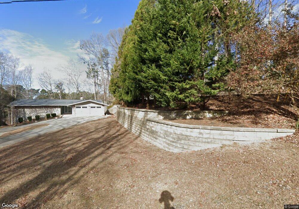
5783 Lakeshore Dr Buford, GA 30518
Buford AreaEstimated Value: $545,000 - $590,000
About This Home
This home is located at 5783 Lakeshore Dr, Buford, GA 30518 and is currently estimated at $565,624, approximately $218 per square foot. 5783 Lakeshore Dr is a home located in Hall County with nearby schools including Friendship Elementary School, C.W. Davis Middle School, and Flowery Branch High School.
Ownership History
We collect this data history from publicly available records. To have your information removed, we recommend requesting removal directly through your county’s website.
Purchase Details
Purchase Details
Purchase Details
Home Financials for this Owner
Home Financials are based on the most recent Mortgage that was taken out on this home.Purchase Details
Home Financials for this Owner
Home Financials are based on the most recent Mortgage that was taken out on this home.Purchase Details
Home Financials for this Owner
Home Financials are based on the most recent Mortgage that was taken out on this home.Home Values in the Area
Average Home Value in this Area
Purchase History
We collect this data history from publicly available records. To have your information removed, we recommend requesting removal directly through your county’s website.
| Date | Buyer | Sale Price | Title Company |
|---|---|---|---|
| -- | -- | ||
| -- | -- | ||
| -- | -- | ||
| -- | -- | ||
| $329,000 | -- |
Mortgage History
We collect this data history from publicly available records. To have your information removed, we recommend requesting removal directly through your county’s website.
| Date | Status | Borrower | Loan Amount |
|---|---|---|---|
| Open | $250,000 | ||
| Previous Owner | $100,000 | ||
| Previous Owner | $32,900 | ||
| Previous Owner | $263,900 |
Tax History
We collect this data history from publicly available records. To have your information removed, we recommend requesting removal directly through your county’s website.
| Year | Tax Paid | Tax Assessment Tax Assessment Total Assessment is a certain percentage of the fair market value that is determined by local assessors to be the total taxable value of land and additions on the property. | Land | Improvement |
|---|---|---|---|---|
| 2025 | $1,142 | $140,440 | $83,600 | $56,840 |
| 2024 | $1,171 | $140,440 | $83,600 | $56,840 |
| 2023 | $892 | $140,440 | $83,600 | $56,840 |
| 2022 | $1,196 | $132,400 | $83,600 | $48,800 |
| 2021 | $1,278 | $134,400 | $83,600 | $50,800 |
| 2020 | $1,283 | $131,960 | $83,600 | $48,360 |
| 2019 | $1,290 | $129,400 | $83,600 | $45,800 |
| 2018 | $1,240 | $121,040 | $76,680 | $44,360 |
| 2017 | $1,151 | $119,080 | $76,680 | $42,400 |
| 2016 | $1,038 | $119,080 | $76,680 | $42,400 |
| 2015 | $747 | $133,120 | $90,240 | $42,880 |
| 2014 | $747 | $142,600 | $90,240 | $52,360 |
Map
- 5966 Island View Dr
- 6029 Shadburn Ferry Rd
- 5804 County Ct
- 6093 Shadburn Ferry Rd
- 5988 Shadburn Ferry Rd
- 2009 Lanier Harbor Point
- 5813 Coles Ct
- 2550 Ridgehurst Dr
- 5885 Bay View Dr
- 5659 Lakeshore Rd
- 5033 Lanier Islands Pkwy
- 5574 Lanier Islands Pkwy
- 6610 Lanier Islands Pkwy
- 5607 Frontier Walk Ln
- 5561 Shadburn Ferry Rd
- 2487 Windchase Ct
- 1969 Lanier Harbor Point
- 2482 Windchase Ct
- 5741 Shadburn Ferry Rd
- 5580 Dusty Ridge Trail
- 5791 Lakeshore Dr
- 5791 Lakeshore Dr
- 5799 Lakeshore Dr
- 5818 Lakeshore Dr
- 5640 Lakeshore Dr
- 5807 Lakeshore Dr
- 5900 Island View Dr
- 5916 Island View Dr
- 5815 Lakeshore Dr
- 5828 Lakeshore Dr
- 5924 Island View Dr
- 5923 Island View Dr
- 5823 Lakeshore Dr
- 5652 Lakeshore Dr
- 5901 Island View Dr
- 5831 Lakeshore Dr
- 5838 Lakeshore Dr
- 5930 Island View Dr
- 5662 Lakeshore Dr
- 5929 Island View Dr
Ask me questions while you tour the home.