57839 Rolling Hills Place Hannibal, MO 63401
Estimated Value: $154,000 - $254,000
1
Bed
1
Bath
1,008
Sq Ft
$188/Sq Ft
Est. Value
About This Home
This home is located at 57839 Rolling Hills Place, Hannibal, MO 63401 and is currently estimated at $190,000, approximately $188 per square foot. 57839 Rolling Hills Place is a home with nearby schools including Hannibal Senior High School, St. John's Lutheran School, and Holy Family School.
Ownership History
Date
Name
Owned For
Owner Type
Purchase Details
Closed on
Nov 15, 2024
Sold by
Mastin Anthony Ray
Bought by
Patterson Danny Joe and Patterson Juanita Sue
Current Estimated Value
Home Financials for this Owner
Home Financials are based on the most recent Mortgage that was taken out on this home.
Original Mortgage
$75,375
Outstanding Balance
$71,199
Interest Rate
8.32%
Mortgage Type
Credit Line Revolving
Estimated Equity
$118,801
Create a Home Valuation Report for This Property
The Home Valuation Report is an in-depth analysis detailing your home's value as well as a comparison with similar homes in the area
Home Values in the Area
Average Home Value in this Area
Purchase History
| Date | Buyer | Sale Price | Title Company |
|---|---|---|---|
| Patterson Danny Joe | -- | None Listed On Document | |
| Patterson Danny Joe | -- | None Listed On Document |
Source: Public Records
Mortgage History
| Date | Status | Borrower | Loan Amount |
|---|---|---|---|
| Open | Patterson Danny Joe | $75,375 | |
| Closed | Patterson Danny Joe | $75,375 |
Source: Public Records
Tax History Compared to Growth
Tax History
| Year | Tax Paid | Tax Assessment Tax Assessment Total Assessment is a certain percentage of the fair market value that is determined by local assessors to be the total taxable value of land and additions on the property. | Land | Improvement |
|---|---|---|---|---|
| 2024 | $751 | $12,610 | $1,710 | $10,900 |
| 2023 | $677 | $12,610 | $1,710 | $10,900 |
| 2022 | $676 | $12,610 | $1,710 | $10,900 |
| 2021 | $674 | $12,610 | $1,710 | $10,900 |
| 2020 | $689 | $12,610 | $1,710 | $10,900 |
| 2019 | $690 | $12,610 | $1,710 | $10,900 |
| 2018 | $624 | $11,340 | $1,710 | $9,630 |
| 2017 | $606 | $11,340 | $1,710 | $9,630 |
| 2016 | $599 | $11,460 | $1,710 | $9,750 |
| 2015 | -- | $11,460 | $1,710 | $9,750 |
| 2014 | -- | $7,910 | $970 | $6,940 |
| 2013 | -- | $7,910 | $970 | $6,940 |
Source: Public Records
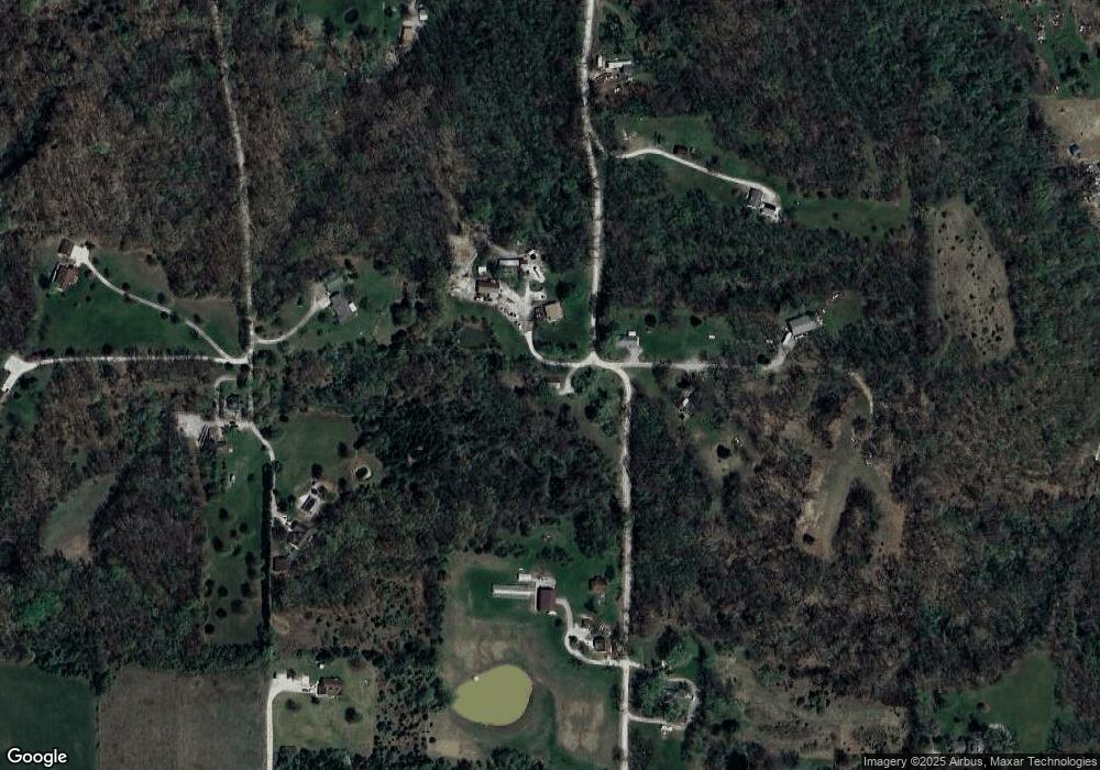
Map
Nearby Homes
- 1927 Owens Ave
- 1608 Singleton Ave
- 1716 36th St
- 6 State Route O
- 3710 Tilden St
- 0 Minnow St
- 809 Lindell Ave
- 73 New London Gravel Rd
- 2101 Spruce St
- 2210 Spruce St
- 1906-1910 Spruce St
- 2003 Spruce St
- 1914 Spruce St
- 321 S Griffith St
- 3 Lot 3 Ismail Estates
- 2606 Hope St
- 1908 Hope St
- 2014 Chestnut St
- 1805 Chestnut St
- 2213 Broadway
- 57808 Rolling Hills Place
- 10342 Lemgri Place
- 10405 Owens Ave
- 10392 Lemgri Place
- 10422 Owens Ave
- 57638 Carrs Ln
- 10061 Owens Ave
- 10337 Lemgri Place
- 2513 Lilly St
- 10032 Owens Ave
- 57786 Carrs Ln
- 57936 Carrs Ln
- 10357 Lemgri Place
- 57781 Carrs Ln
- 2501 Lilly St
- 2509 Lilly St
- 57970 Carrs Ln
- 2601 Lilly St
- 2613 Lilly St
- 57821 Carrs Ln