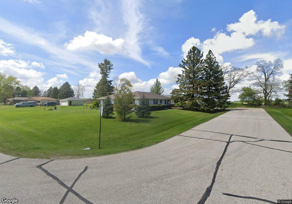
5785 Debbie Ln West Bend, WI 53095
Estimated Value: $311,542 - $382,000
--
Bed
--
Bath
--
Sq Ft
0.46
Acres
About This Home
This home is located at 5785 Debbie Ln, West Bend, WI 53095 and is currently estimated at $343,886. 5785 Debbie Ln is a home located in Washington County with nearby schools including Slinger High School.
Ownership History
Date
Name
Owned For
Owner Type
Purchase Details
Closed on
Jan 26, 2021
Sold by
Clouis James E and Merlin R Graff Family Trust
Bought by
Graff Thomas J
Current Estimated Value
Home Financials for this Owner
Home Financials are based on the most recent Mortgage that was taken out on this home.
Original Mortgage
$100,000
Outstanding Balance
$89,284
Interest Rate
2.6%
Mortgage Type
Commercial
Estimated Equity
$254,602
Purchase Details
Closed on
Feb 24, 2011
Sold by
Graff Merlin R
Bought by
Merlin R Graff Fam Trust Of February 24
Purchase Details
Closed on
Jan 12, 2006
Sold by
Graff Merlin R and Graff Carol
Bought by
Graff Merlin R and Graff Carol
Create a Home Valuation Report for This Property
The Home Valuation Report is an in-depth analysis detailing your home's value as well as a comparison with similar homes in the area
Home Values in the Area
Average Home Value in this Area
Purchase History
| Date | Buyer | Sale Price | Title Company |
|---|---|---|---|
| Graff Thomas J | $200,000 | None Available | |
| Merlin R Graff Fam Trust Of February 24 | $234,100 | -- | |
| Graff Merlin R | $234,100 | -- | |
| Graff Merlin R | $234,100 | -- |
Source: Public Records
Mortgage History
| Date | Status | Borrower | Loan Amount |
|---|---|---|---|
| Open | Graff Thomas J | $100,000 |
Source: Public Records
Tax History Compared to Growth
Tax History
| Year | Tax Paid | Tax Assessment Tax Assessment Total Assessment is a certain percentage of the fair market value that is determined by local assessors to be the total taxable value of land and additions on the property. | Land | Improvement |
|---|---|---|---|---|
| 2024 | $2,011 | $279,800 | $76,800 | $203,000 |
| 2023 | $2,039 | $155,500 | $48,000 | $107,500 |
| 2022 | $1,833 | $155,500 | $48,000 | $107,500 |
| 2021 | $1,828 | $155,500 | $48,000 | $107,500 |
| 2020 | $1,797 | $155,500 | $48,000 | $107,500 |
| 2019 | $1,645 | $155,500 | $48,000 | $107,500 |
| 2018 | $1,925 | $178,500 | $48,000 | $130,500 |
| 2017 | $1,998 | $178,500 | $48,000 | $130,500 |
| 2016 | $1,997 | $178,500 | $48,000 | $130,500 |
| 2015 | $2,157 | $178,500 | $48,000 | $130,500 |
| 2014 | $2,157 | $178,500 | $48,000 | $130,500 |
| 2013 | $2,330 | $178,500 | $48,000 | $130,500 |
Source: Public Records
Map
Nearby Homes
- 6043 State Highway 144
- 5324 Boettcher Dr
- 4538 Church Dr
- 5136 William Tell Dr
- 6386 Alpine Dr
- 6215 Riesch Rd
- 5260 Aurora Rd
- 5151 Timmer Bay Rd
- 4929 State Highway 144
- 4919 State Highway 144
- 4262 N Woodcrest Ridge Dr
- 5880 Scenic Dr
- 4862 Highland Park Dr
- 6372 Wildlife Rd
- 3982 Margolis Dr
- 5628 Scenic Dr
- 602 Shepherds Dr Unit 5
- 5112 Wickert Dr
- 5422 Bauers Dr
- 4612 S Shore Ave