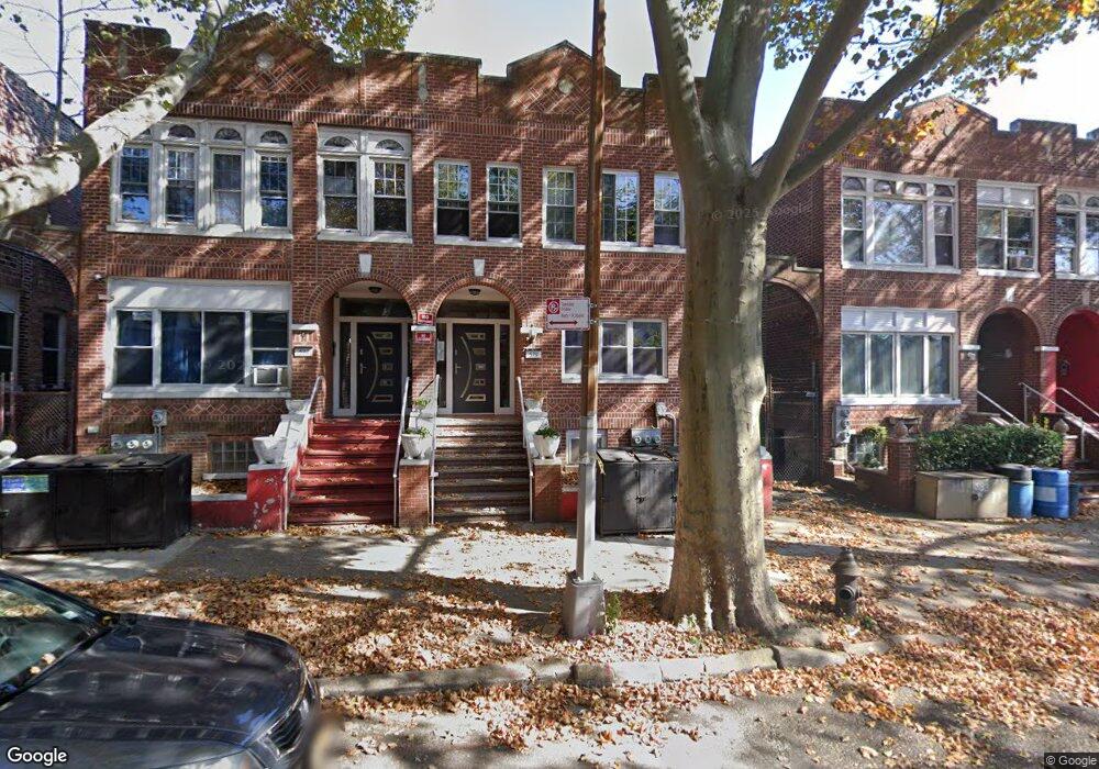
579 Alabama Ave Brooklyn, NY 11207
Brownsville NeighborhoodEstimated Value: $894,722 - $993,000
2
Beds
1
Bath
900
Sq Ft
$1,041/Sq Ft
Est. Value
About This Home
This home is located at 579 Alabama Ave, Brooklyn, NY 11207 and is currently estimated at $936,931, approximately $1,041 per square foot. 579 Alabama Ave is a home located in Kings County with nearby schools including P.S. 190 - Sheffield, Achievement First - East New York School, and Grace Christian Educational.
Ownership History
Date
Name
Owned For
Owner Type
Purchase Details
Closed on
May 9, 2000
Sold by
Washington Jeanette
Bought by
Fletcher Ronald
Current Estimated Value
Home Financials for this Owner
Home Financials are based on the most recent Mortgage that was taken out on this home.
Original Mortgage
$153,000
Interest Rate
8.59%
Create a Home Valuation Report for This Property
The Home Valuation Report is an in-depth analysis detailing your home's value as well as a comparison with similar homes in the area
Home Values in the Area
Average Home Value in this Area
Purchase History
| Date | Buyer | Sale Price | Title Company |
|---|---|---|---|
| Fletcher Ronald | $170,000 | Uslife Title Insurance Compa |
Source: Public Records
Mortgage History
| Date | Status | Borrower | Loan Amount |
|---|---|---|---|
| Closed | Fletcher Ronald | $153,000 |
Source: Public Records
Tax History
| Year | Tax Paid | Tax Assessment Tax Assessment Total Assessment is a certain percentage of the fair market value that is determined by local assessors to be the total taxable value of land and additions on the property. | Land | Improvement |
|---|---|---|---|---|
| 2025 | $5,077 | $61,140 | $20,820 | $40,320 |
| 2024 | $5,077 | $58,440 | $20,820 | $37,620 |
| 2023 | $3,747 | $53,160 | $20,820 | $32,340 |
| 2022 | $3,476 | $43,500 | $20,820 | $22,680 |
| 2021 | $3,460 | $40,440 | $20,820 | $19,620 |
| 2019 | $3,404 | $32,040 | $20,820 | $11,220 |
| 2018 | $3,134 | $15,375 | $9,295 | $6,080 |
| 2017 | $2,958 | $14,509 | $7,675 | $6,834 |
| 2016 | $2,739 | $13,702 | $9,214 | $4,488 |
| 2015 | $1,431 | $13,684 | $8,887 | $4,797 |
| 2014 | $1,431 | $13,560 | $9,605 | $3,955 |
Source: Public Records
Map
Nearby Homes
- 525 Alabama Ave
- 606 Alabama Ave
- 610 Alabama Ave
- 578 Williams Ave
- 582 Williams Ave
- 664 New Jersey Ave
- 589 Hinsdale St
- 533 Snediker Ave
- 584 Hinsdale St
- 650 Williams Ave
- 421 New Lots Ave
- 660 Williams Ave
- 644 Vermont St
- 738 New Jersey Ave
- 521 Hegeman Ave
- 662 Riverdale Ave
- 494 Hegeman Ave
- 719 Alabama Ave
- 750 Vermont St
- 1755 Linden Blvd
- 577 Alabama Ave
- 583 Alabama Ave
- 573 Alabama Ave
- 585 Alabama Ave
- 587 Alabama Ave
- 571 Alabama Ave
- 571 Alabama Ave Unit 2
- 571 Alabama Ave Unit 1
- 589 Alabama Ave
- 567 Alabama Ave
- 590 Georgia Ave
- 592 Georgia Ave
- 586 Georgia Ave
- 584 Georgia Ave
- 596 Georgia Ave
- 591 Alabama Ave
- 565 Alabama Ave
- 598 Georgia Ave
- 580 Georgia Ave Unit 2A
- 580 Georgia Ave
Your Personal Tour Guide
Ask me questions while you tour the home.