Estimated Value: $81,000 - $100,000
2
Beds
2
Baths
1,109
Sq Ft
$81/Sq Ft
Est. Value
About This Home
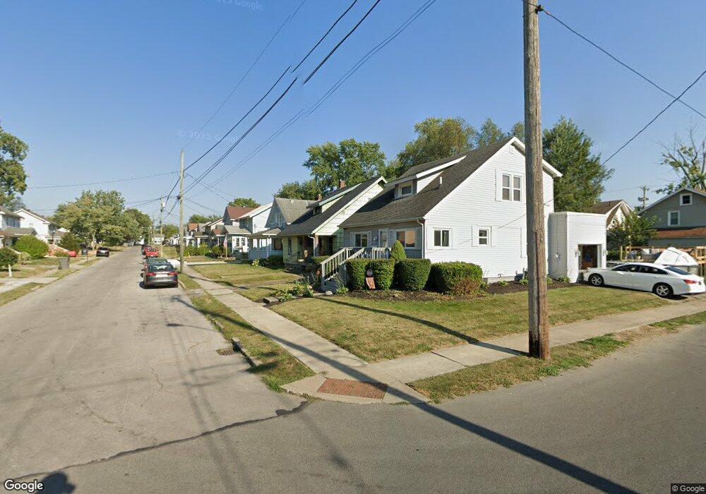
This home is located at 579 Cortlandt Ave, Lima, OH 45801 and is currently estimated at $90,189, approximately $81 per square foot. 579 Cortlandt Ave is a home located in Allen County with nearby schools including Independence Elementary School, Lima North Middle School, and Lima West Middle School.
Ownership History
Date
Name
Owned For
Owner Type
Purchase Details
Closed on
May 29, 2008
Sold by
Frueh Linda and Schmidt Linda Roetta
Bought by
Smith Monique L
Current Estimated Value
Home Financials for this Owner
Home Financials are based on the most recent Mortgage that was taken out on this home.
Original Mortgage
$33,200
Outstanding Balance
$21,173
Interest Rate
5.93%
Mortgage Type
Purchase Money Mortgage
Estimated Equity
$69,016
Purchase Details
Closed on
May 4, 1987
Bought by
Schmidt Linda Roetta
Create a Home Valuation Report for This Property
The Home Valuation Report is an in-depth analysis detailing your home's value as well as a comparison with similar homes in the area
Home Values in the Area
Average Home Value in this Area
Purchase History
| Date | Buyer | Sale Price | Title Company |
|---|---|---|---|
| Smith Monique L | $39,500 | None Available | |
| Schmidt Linda Roetta | $25,000 | -- |
Source: Public Records
Mortgage History
| Date | Status | Borrower | Loan Amount |
|---|---|---|---|
| Open | Smith Monique L | $33,200 |
Source: Public Records
Tax History Compared to Growth
Tax History
| Year | Tax Paid | Tax Assessment Tax Assessment Total Assessment is a certain percentage of the fair market value that is determined by local assessors to be the total taxable value of land and additions on the property. | Land | Improvement |
|---|---|---|---|---|
| 2024 | $1,140 | $20,450 | $2,350 | $18,100 |
| 2023 | $814 | $16,110 | $1,860 | $14,250 |
| 2022 | $715 | $16,110 | $1,860 | $14,250 |
| 2021 | $808 | $16,110 | $1,860 | $14,250 |
| 2020 | $699 | $13,450 | $1,790 | $11,660 |
| 2019 | $699 | $13,450 | $1,790 | $11,660 |
| 2018 | $708 | $13,690 | $1,790 | $11,900 |
| 2017 | $713 | $13,690 | $1,790 | $11,900 |
| 2016 | $722 | $13,690 | $1,790 | $11,900 |
| 2015 | $611 | $13,690 | $1,790 | $11,900 |
| 2014 | $611 | $11,200 | $1,750 | $9,450 |
| 2013 | $595 | $11,200 | $1,750 | $9,450 |
Source: Public Records
Map
Nearby Homes
- 576 Cortlandt Ave
- 638 Hazel Ave
- 648 Hazel Ave
- 1116 Belvidere Ave
- 631 Hazel Ave
- 676 Cortlandt Ave
- 708 N Metcalf St
- 416 Hazel Ave
- 612 N Metcalf St
- 849 Runyan Ave
- 618 Woodward Ave
- 765 W O'Connor Ave
- 939 N West St
- 222 W Grand Ave
- 608 W O'Connor Ave
- 745 Brice Ave
- 606 N West St
- 434 N Washington St
- 627 Brice Ave
- 1023 Leland Ave
- 583 Cortlandt Ave
- 575 Cortlandt Ave
- 571 Cortlandt Ave
- 580 W Grand Ave
- 584 W Grand Ave
- 576 W Grand Ave
- 567 Cortlandt Ave
- 572 W Grand Ave
- 586 Cortlandt Ave
- 574 Cortlandt Ave
- 568 W Grand Ave
- 563 Cortlandt Ave
- 901 N Baxter St
- 570 Cortlandt Ave
- 564 W Grand Ave
- 973 N Baxter St
- 559 Cortlandt Ave
- 566 Cortlandt Ave
- 976 N Baxter St