579 Deer Point Rd Georgetown, GA 39854
Estimated Value: $50,000 - $74,369
1
Bed
1
Bath
640
Sq Ft
$97/Sq Ft
Est. Value
About This Home
This home is located at 579 Deer Point Rd, Georgetown, GA 39854 and is currently estimated at $62,185, approximately $97 per square foot. 579 Deer Point Rd is a home with nearby schools including Quitman County Elementary School and Quitman County High School.
Ownership History
Date
Name
Owned For
Owner Type
Purchase Details
Closed on
Dec 5, 2003
Sold by
Merritt Heating & Co
Bought by
Merritt Darrell and Merritt Tammy J
Current Estimated Value
Purchase Details
Closed on
Nov 23, 1999
Sold by
Merritt Ronald and Merritt Jun
Bought by
Merritt Heating & Co
Purchase Details
Closed on
Aug 11, 1999
Sold by
Durham Robert Wayne
Bought by
Merritt Ronald and Merritt Jun
Purchase Details
Closed on
May 28, 1993
Sold by
Flinchbaugh Keith
Bought by
Durham Robert Wayne
Purchase Details
Closed on
Mar 3, 1993
Sold by
Flinchbaugh Keith
Bought by
Flinchbaugh Keith
Purchase Details
Closed on
May 5, 1990
Sold by
Maddox Henry E
Bought by
Flinchbaugh Keith
Create a Home Valuation Report for This Property
The Home Valuation Report is an in-depth analysis detailing your home's value as well as a comparison with similar homes in the area
Home Values in the Area
Average Home Value in this Area
Purchase History
| Date | Buyer | Sale Price | Title Company |
|---|---|---|---|
| Merritt Darrell | -- | -- | |
| Merritt Heating & Co | $24,000 | -- | |
| Merritt Ronald | $22,000 | -- | |
| Durham Robert Wayne | $15,000 | -- | |
| Flinchbaugh Keith | $3,600 | -- | |
| Flinchbaugh Keith | $10,000 | -- |
Source: Public Records
Tax History Compared to Growth
Tax History
| Year | Tax Paid | Tax Assessment Tax Assessment Total Assessment is a certain percentage of the fair market value that is determined by local assessors to be the total taxable value of land and additions on the property. | Land | Improvement |
|---|---|---|---|---|
| 2025 | $741 | $16,678 | $2,000 | $14,678 |
| 2024 | $741 | $16,678 | $2,000 | $14,678 |
| 2023 | $747 | $16,678 | $2,000 | $14,678 |
| 2022 | $747 | $16,678 | $2,000 | $14,678 |
| 2021 | $408 | $10,552 | $2,000 | $8,552 |
| 2020 | $408 | $10,552 | $2,000 | $8,552 |
| 2019 | $408 | $10,552 | $2,000 | $8,552 |
| 2018 | $338 | $10,552 | $2,000 | $8,552 |
| 2017 | $338 | $11,147 | $2,000 | $9,147 |
| 2016 | $356 | $11,147 | $2,000 | $9,147 |
| 2015 | -- | $11,147 | $2,000 | $9,147 |
| 2014 | -- | $11,147 | $2,000 | $9,147 |
| 2013 | -- | $11,147 | $2,000 | $9,147 |
Source: Public Records
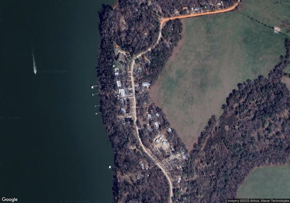
Map
Nearby Homes
- 4 Joy Ln
- 45 Joy Ln
- 0 Joy Ln
- 119 Woodland Dr
- 126 Woodland Dr
- 124 Woodland Dr
- 128 Woodland Dr
- 327 Deer Point Rd
- 327 Deer Point Rd Unit 492 +/- ACRES
- 23 Deer Trail
- Lot #9 Tanglewood Dr
- 187 Tanglewood Trail
- 183 Tanglewood Trail
- 183a Tanglewood Dr
- Lot # 8 Tanglewood Trail Subdivision
- Lot # 3 Tanglewood Trail Subdivision
- Lot # 11 Tanglewood Trail Subdividion
- Lot # 12 Tanglewood Trail Subdivision
- Lot # 9 Tanglewood Trail Subdivision
- Lot # 10 Tanglewood Trail Subdivision
- 577 Deer Point Rd
- 580 Deer Point Rd
- 578 Deer Point Rd
- 574 Deer Point Rd
- 571 Deer Point Rd
- 587 Deer Point Rd
- 572 Deer Trail
- 561 Deer Point Rd
- 572 Deer Point Rd
- 557 Deer Point Rd
- 553 Deer Point Rd
- 596 Deer Trail
- 601 Deer Point Rd
- 548 Deer Point Rd
- 546 Deer Point Rd
- 544 Deer Point Rd
- 616 Deer Point Rd
- 528 Deer Point Rd
- 615 Deer Point Rd
- 524 Deer Point Rd