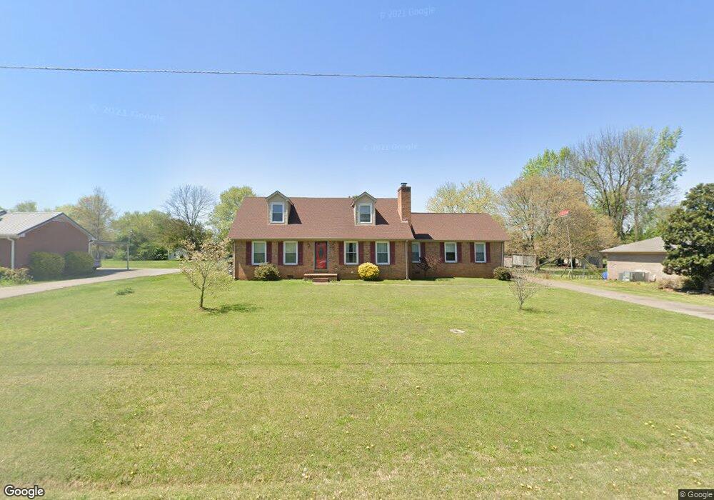
579 Deerfield Dr Murfreesboro, TN 37129
Estimated Value: $400,552 - $436,000
About This Home
This home is located at 579 Deerfield Dr, Murfreesboro, TN 37129 and is currently estimated at $418,388, approximately $192 per square foot. 579 Deerfield Dr is a home located in Rutherford County with nearby schools including Blackman Elementary School, Blackman Middle School, and Blackman High School.
Ownership History
We collect this data history from publicly available records. To have your information removed, we recommend requesting removal directly through your county’s website.
Purchase Details
Home Financials for this Owner
Home Financials are based on the most recent Mortgage that was taken out on this home.Home Values in the Area
Average Home Value in this Area
Purchase History
We collect this data history from publicly available records. To have your information removed, we recommend requesting removal directly through your county’s website.
| Date | Buyer | Sale Price | Title Company |
|---|---|---|---|
| $133,500 | -- |
Mortgage History
We collect this data history from publicly available records. To have your information removed, we recommend requesting removal directly through your county’s website.
| Date | Status | Borrower | Loan Amount |
|---|---|---|---|
| Open | $122,815 |
Tax History
We collect this data history from publicly available records. To have your information removed, we recommend requesting removal directly through your county’s website.
| Year | Tax Paid | Tax Assessment Tax Assessment Total Assessment is a certain percentage of the fair market value that is determined by local assessors to be the total taxable value of land and additions on the property. | Land | Improvement |
|---|---|---|---|---|
| 2025 | $1,588 | $85,075 | $13,750 | $71,325 |
| 2024 | $1,596 | $85,075 | $13,750 | $71,325 |
| 2023 | $1,596 | $85,075 | $13,750 | $71,325 |
| 2022 | $1,375 | $85,075 | $13,750 | $71,325 |
| 2021 | $1,329 | $59,900 | $9,250 | $50,650 |
| 2020 | $1,329 | $59,900 | $9,250 | $50,650 |
| 2019 | $1,329 | $59,900 | $9,250 | $50,650 |
| 2018 | $1,258 | $59,900 | $0 | $0 |
| 2017 | $1,222 | $45,600 | $0 | $0 |
| 2016 | $1,222 | $45,600 | $0 | $0 |
| 2015 | $1,222 | $45,600 | $0 | $0 |
| 2014 | $1,134 | $45,600 | $0 | $0 |
| 2013 | -- | $44,575 | $0 | $0 |
Map
- 845 Kaylee Cir
- 3719 Red Willow Ct
- 3737 Southbend Dr
- 3714 Alchemy Ct
- 3718 Alchemy Ct
- 876 Wolves Den Place
- 933 Wolves Den Place
- 1011 Wolves Den Place
- 1008 Sitting Bull Crossing
- 1038 Sitting Bull Crossing
- 913 Sitting Bull Crossing
- 920 Shaman Crossing
- 3939 Cannonsgate Ln
- 524 Gresham Ln
- 218 Campfire Dr
- 520 Gresham Ln
- 4063 Cannonsgate Ln
- 945 Manson Crossing Dr
- 3444 Blaze Dr
- 336 Rockcastle Dr
- 536 Deerfield Dr
- 589 Deerfield Dr
- 570 Buck Ln
- 2504 Foxfire Ct
- 597 Deerfield Dr
- 580 Buck Ln
- 578 Deerfield Dr
- 2540 Foxfire Ct
- 566 Deerfield Dr
- 588 Deerfield Dr
- 590 Buck Ln
- 607 Deerfield Dr
- 598 Deerfield Dr
- 610 Buck Ln
- 2503 Foxfire Ct
- 606 Deerfield Dr
- 2527 Foxfire Ct
- 619 Deerfield Dr
- 563 Foxfire Ct
- 2481 Foxfire Ct
Ask me questions while you tour the home.