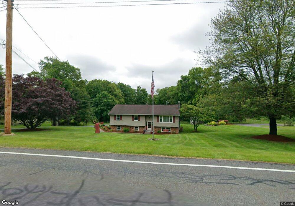
579 Kemah Lake Rd Newton, NJ 07860
Estimated Value: $379,328 - $572,000
--
Bed
--
Bath
2,010
Sq Ft
$248/Sq Ft
Est. Value
About This Home
This home is located at 579 Kemah Lake Rd, Newton, NJ 07860 and is currently estimated at $498,582, approximately $248 per square foot. 579 Kemah Lake Rd is a home located in Sussex County with nearby schools including Frankford Township School and High Point Regional High School.
Ownership History
Date
Name
Owned For
Owner Type
Purchase Details
Closed on
Dec 10, 1999
Sold by
Engvaldsen Glenn C and Engvaldsen Bernice
Current Estimated Value
Home Financials for this Owner
Home Financials are based on the most recent Mortgage that was taken out on this home.
Original Mortgage
$156,902
Outstanding Balance
$48,120
Interest Rate
7.81%
Mortgage Type
FHA
Estimated Equity
$450,462
Create a Home Valuation Report for This Property
The Home Valuation Report is an in-depth analysis detailing your home's value as well as a comparison with similar homes in the area
Home Values in the Area
Average Home Value in this Area
Purchase History
| Date | Buyer | Sale Price | Title Company |
|---|---|---|---|
| -- | $157,000 | Commonwealth Land Title Ins |
Source: Public Records
Mortgage History
| Date | Status | Borrower | Loan Amount |
|---|---|---|---|
| Open | -- | $156,902 |
Source: Public Records
Tax History Compared to Growth
Tax History
| Year | Tax Paid | Tax Assessment Tax Assessment Total Assessment is a certain percentage of the fair market value that is determined by local assessors to be the total taxable value of land and additions on the property. | Land | Improvement |
|---|---|---|---|---|
| 2025 | $6,052 | $208,700 | $75,300 | $133,400 |
| 2024 | $5,871 | $203,500 | $75,300 | $128,200 |
| 2023 | $5,871 | $203,500 | $75,300 | $128,200 |
| 2022 | $5,729 | $203,500 | $75,300 | $128,200 |
| 2021 | $5,556 | $203,500 | $75,300 | $128,200 |
| 2020 | $5,397 | $203,500 | $75,300 | $128,200 |
| 2019 | $5,244 | $203,500 | $75,300 | $128,200 |
| 2018 | $5,195 | $203,500 | $75,300 | $128,200 |
| 2017 | $5,177 | $203,500 | $75,300 | $128,200 |
| 2016 | $5,242 | $203,500 | $75,300 | $128,200 |
| 2015 | $5,216 | $203,500 | $75,300 | $128,200 |
| 2014 | $5,336 | $203,500 | $75,300 | $128,200 |
Source: Public Records
Map
Nearby Homes
- 221 Fairview Ave
- 7 Stempert Rd
- 208 Highland Ave
- 515 Kemah Lake Rd
- 1007 Hillside Ave
- 10 Lakewood Trail
- 4 Grove St
- 40 Martin Ln
- 301 Lakewood Terrace
- 37 Cypress Dr
- 1 Lakeview Point Ave
- 52 Church Rd
- 25 E Shore Lake Owassa Rd
- 19 E Shore Lake Owassa Rd
- 59 Newton Ave
- 26 Mill Ln
- 15 Forest St
- 78 E Shore Culver Rd
- 2 - 4 Garrett Dr
- 4 Woodlawn Ave
- 581 Kemah Lake Rd
- 577 Kemah Lake Rd
- 580 Kemah Lake Rd
- 585 Kemah Lake Rd
- 578 Kemah Lake Rd
- 587 Kemah Lake Rd
- 573 Kemah Lake Rd
- 591 Kemah Lake Rd
- 574 Kemah Lake Rd
- 597 Kemah Lake Rd
- 572 Kemah Lake Rd
- 570 Kemah Lake Rd
- 568 Kemah Lake Rd
- 210 Morris Turnpike
- 603 Kemah Lake Rd
- 200 Morris Turnpike
- 206 Morris Turnpike
- 202 Morris Turnpike
- 191 Morris Turnpike
- 555 Kemah Lake Rd