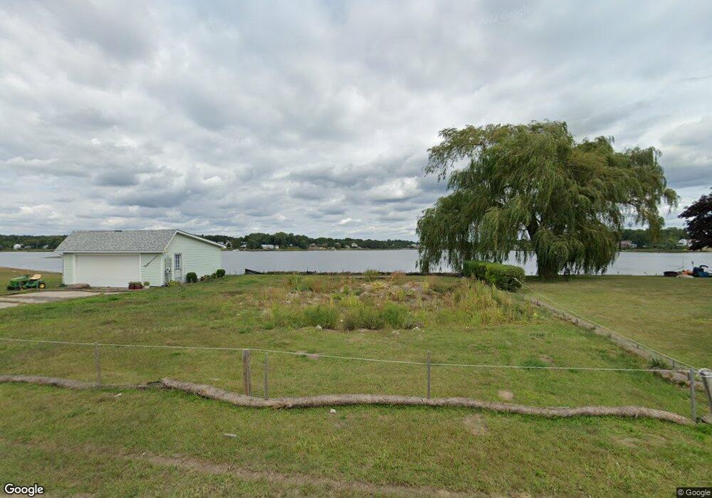
579 Ocean Grove Ave Swansea, MA 02777
Ocean Grove NeighborhoodEstimated Value: $716,000 - $1,136,000
3
Beds
2
Baths
1,593
Sq Ft
$605/Sq Ft
Est. Value
About This Home
This home is located at 579 Ocean Grove Ave, Swansea, MA 02777 and is currently estimated at $964,442, approximately $605 per square foot. 579 Ocean Grove Ave is a home located in Bristol County with nearby schools including Joseph Case High School and Swansea Wood School.
Ownership History
Date
Name
Owned For
Owner Type
Purchase Details
Closed on
Mar 12, 2015
Sold by
Pavao Aires R and Pavao Elvira M
Bought by
Pavao Rt
Current Estimated Value
Purchase Details
Closed on
Sep 27, 2010
Sold by
Duclos Bertha A Est
Bought by
Pavao Aires R and Pavao Elvira M
Purchase Details
Closed on
Jun 5, 2008
Sold by
Duclos Michael E and Duclos Raymond H
Bought by
Duclos Bertha A
Purchase Details
Closed on
Dec 28, 2007
Sold by
Duclos Bertha A and Duclos Michael E
Bought by
Duclos Bertha A
Create a Home Valuation Report for This Property
The Home Valuation Report is an in-depth analysis detailing your home's value as well as a comparison with similar homes in the area
Home Values in the Area
Average Home Value in this Area
Purchase History
| Date | Buyer | Sale Price | Title Company |
|---|---|---|---|
| Pavao Rt | -- | -- | |
| Pavao Aires R | $325,000 | -- | |
| Duclos Bertha A | -- | -- | |
| Duclos Bertha A | -- | -- |
Source: Public Records
Tax History Compared to Growth
Tax History
| Year | Tax Paid | Tax Assessment Tax Assessment Total Assessment is a certain percentage of the fair market value that is determined by local assessors to be the total taxable value of land and additions on the property. | Land | Improvement |
|---|---|---|---|---|
| 2025 | $10,180 | $854,000 | $363,000 | $491,000 |
| 2024 | $9,696 | $808,700 | $362,700 | $446,000 |
| 2023 | $3,592 | $273,582 | $217,182 | $56,400 |
| 2022 | $2,747 | $190,888 | $168,188 | $22,700 |
| 2021 | $3,404 | $217,778 | $205,878 | $11,900 |
| 2020 | $3,333 | $213,900 | $206,000 | $7,900 |
| 2019 | $2,979 | $192,100 | $184,200 | $7,900 |
| 2018 | $5,058 | $331,000 | $192,000 | $139,000 |
| 2017 | $4,574 | $344,400 | $206,900 | $137,500 |
| 2016 | $4,539 | $335,700 | $205,800 | $129,900 |
| 2015 | $4,404 | $335,400 | $205,800 | $129,600 |
| 2014 | $4,438 | $345,600 | $225,500 | $120,100 |
Source: Public Records
Map
Nearby Homes
- 502 Ocean Grove Ave
- 153 Puffer Ave
- 25 Inverness Rd
- 110 Seaview Ave
- 20 Sherbourne Ave
- 95 Winslow Way
- 41 James Ave
- 105 Birchwood Dr
- 123 Calef Ave
- 196 Coolidge St
- 34 Columbia Rd
- 159 Wilder St
- 79 Cedar Ave
- 19 Keller Ave
- 19 Richard Rd
- 447 Old Warren Rd
- 11 Stonegate Rd
- 0 Barton Ave
- 9 Kenny Dr
- 127 Sheraton Ave