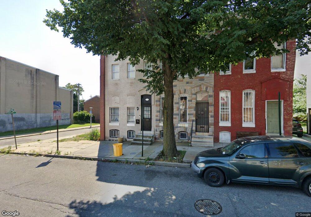
579 Presstman St Baltimore, MD 21217
Upton NeighborhoodEstimated Value: $87,000 - $138,233
1
Bed
2
Baths
--
Sq Ft
--
Built
About This Home
This home is located at 579 Presstman St, Baltimore, MD 21217 and is currently estimated at $112,617. 579 Presstman St is a home located in Baltimore City with nearby schools including Mount Royal Elementary/Middle School, Booker T. Washington Middle School, and Frederick Douglass High School.
Ownership History
Date
Name
Owned For
Owner Type
Purchase Details
Closed on
Mar 17, 2022
Sold by
Raymond Henry J
Bought by
Lmg 17 Llc
Current Estimated Value
Purchase Details
Closed on
Jun 6, 2005
Sold by
Holy Temple Pentecostal Church
Bought by
Smith Derrick
Purchase Details
Closed on
May 12, 2005
Sold by
Holy Temple Pentecostal Church
Bought by
Smith Derrick
Create a Home Valuation Report for This Property
The Home Valuation Report is an in-depth analysis detailing your home's value as well as a comparison with similar homes in the area
Home Values in the Area
Average Home Value in this Area
Purchase History
| Date | Buyer | Sale Price | Title Company |
|---|---|---|---|
| Lmg 17 Llc | $8,625 | Morse J Scott | |
| Smith Derrick | $50,000 | -- | |
| Smith Derrick | $50,000 | -- |
Source: Public Records
Tax History Compared to Growth
Tax History
| Year | Tax Paid | Tax Assessment Tax Assessment Total Assessment is a certain percentage of the fair market value that is determined by local assessors to be the total taxable value of land and additions on the property. | Land | Improvement |
|---|---|---|---|---|
| 2025 | $705 | $30,000 | $7,000 | $23,000 |
| 2024 | $705 | $30,000 | $7,000 | $23,000 |
| 2023 | $708 | $30,000 | $7,000 | $23,000 |
| 2022 | $708 | $30,000 | $7,000 | $23,000 |
| 2021 | $708 | $30,000 | $7,000 | $23,000 |
| 2020 | $708 | $30,000 | $7,000 | $23,000 |
| 2019 | $1,409 | $60,000 | $12,000 | $48,000 |
| 2018 | $1,141 | $48,333 | $0 | $0 |
| 2017 | $865 | $36,667 | $0 | $0 |
| 2016 | $497 | $25,000 | $0 | $0 |
| 2015 | $497 | $23,667 | $0 | $0 |
| 2014 | $497 | $22,333 | $0 | $0 |
Source: Public Records
Map
Nearby Homes
- 1907 Brunt St
- 2023 Division St
- 2022 Etting St
- 1916 Druid Hill Ave
- 1910 Druid Hill Ave
- 532 Laurens St
- 2023 Etting St
- 1344 N Carey St
- 2026 Druid Hill Ave
- 2121 Division St
- 1905 Druid Hill Ave
- 1449 N Carey St
- 509 Laurens St
- 1827 Druid Hill Ave
- 1306 N Carey St
- 1908 Mcculloh St
- 1816 Mcculloh St
- 1812 Mcculloh St
- 1718 Druid Hill Ave
- 531 Wilson St
- 581 Presstman St
- 577 Presstman St
- 583 Presstman St
- 1938 Brunt St
- 575 Presstman St
- 1936 Brunt St
- 1934 Brunt St
- 1941 Pennsylvania Ave
- 573 Presstman St
- 1932 Brunt St
- 1930 Brunt St
- 1945 Pennsylvania Ave
- 571 Presstman St
- 1943 Pennsylvania Ave
- 1935 Pennsylvania Ave
- 1933 Pennsylvania Ave
- 1939 Pennsylvania Ave
- 1937 Pennsylvania Ave
- 569 Presstman St
- 1928 Brunt St