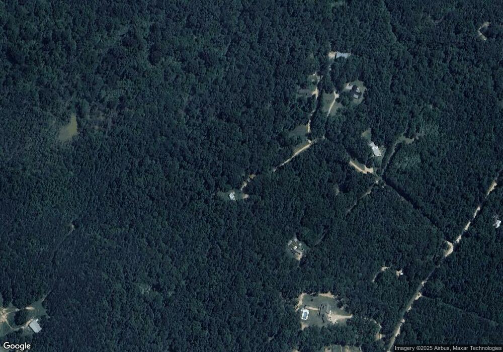
579 Pullin Rd Locust Grove, GA 30248
Spalding County NeighborhoodEstimated Value: $198,000 - $321,356
2
Beds
3
Baths
2,700
Sq Ft
$97/Sq Ft
Est. Value
About This Home
This home is located at 579 Pullin Rd, Locust Grove, GA 30248 and is currently estimated at $262,339, approximately $97 per square foot. 579 Pullin Rd is a home located in Spalding County with nearby schools including Jordan Hill Road Elementary School, Kennedy Road Middle School, and Spalding High School.
Ownership History
Date
Name
Owned For
Owner Type
Purchase Details
Closed on
Jun 12, 2020
Sold by
Allen Karon Wendy
Bought by
Hutton Gordon L and Gauthier Luz M
Current Estimated Value
Purchase Details
Closed on
May 7, 1999
Sold by
Rowe Roger D and Rowe Ellean
Bought by
Hardigree Herbert E and Hardigree Donna P
Purchase Details
Closed on
Jan 5, 1993
Sold by
Pate Donna F
Bought by
Rowe Roger G and Rowe Elladean
Purchase Details
Closed on
Mar 11, 1987
Sold by
Pate Donald G and Pate Donna F
Bought by
Pate Donna F
Purchase Details
Closed on
Sep 20, 1980
Sold by
Roberts Ranch Inc
Bought by
Pate Donald G and Pate Donna F
Create a Home Valuation Report for This Property
The Home Valuation Report is an in-depth analysis detailing your home's value as well as a comparison with similar homes in the area
Home Values in the Area
Average Home Value in this Area
Purchase History
| Date | Buyer | Sale Price | Title Company |
|---|---|---|---|
| Hutton Gordon L | -- | -- | |
| Hutton Gordon L | -- | -- | |
| Hutton Gordon L | -- | -- | |
| Hutton Gordon L | $125,000 | -- | |
| Hardigree Herbert E | $18,000 | -- | |
| Rowe Roger G | $18,000 | -- | |
| Pate Donna F | -- | -- | |
| Pate Donald G | $33,100 | -- |
Source: Public Records
Tax History
| Year | Tax Paid | Tax Assessment Tax Assessment Total Assessment is a certain percentage of the fair market value that is determined by local assessors to be the total taxable value of land and additions on the property. | Land | Improvement |
|---|---|---|---|---|
| 2025 | $3,189 | $89,139 | $48,308 | $40,831 |
| 2024 | $3,154 | $89,139 | $48,308 | $40,831 |
| 2023 | $3,189 | $87,284 | $48,308 | $38,976 |
| 2022 | $2,543 | $69,923 | $35,302 | $34,621 |
| 2021 | $2,438 | $67,055 | $35,302 | $31,753 |
| 2020 | $1,535 | $60,897 | $35,302 | $25,595 |
| 2019 | $1,564 | $60,897 | $35,302 | $25,595 |
| 2018 | $1,605 | $58,884 | $35,302 | $23,582 |
| 2017 | $1,575 | $58,884 | $35,302 | $23,582 |
| 2016 | $1,602 | $58,884 | $35,302 | $23,582 |
| 2015 | $1,570 | $58,884 | $35,302 | $23,582 |
| 2014 | $1,592 | $58,884 | $35,302 | $23,582 |
Source: Public Records
Map
Nearby Homes
- 460 Pullin Rd
- 0 Sipka Rd Unit 10362242
- 0 Sipka Rd Unit 7442125
- 50 Winding Ln
- 355 Chuli Rd
- 230 Vaughn Cir
- 1567 Locust Grove Rd
- Summit Plan at Evergreen Crossing
- Marlene Plan at Evergreen Crossing
- Fleetwood Plan at Evergreen Crossing
- Packard Plan at Evergreen Crossing
- Savannah Plan at Evergreen Crossing
- 475 Jenkinsburg Rd
- 667 Jenkinsburg Rd
- 401 Hazel Dr
- 2736 Lester Mill Rd
- 1001 Hartwell Rd
- 1078 Hartwell Rd
- 2103 River Walk Ct
- 648 Parnassus Rd
- 543 Pullin Rd
- 573 Pullin Rd
- 539 Pullin Rd Unit 24,25,18,20
- 539 Pullin Rd Unit N?
- 539 Pullin Rd
- 561 Pullin Rd
- 567 Pullin Rd
- 445 Pullin Rd
- 2206 Freedom Way
- 2240 Freedom Way
- 1213 Farrell St
- 300 Arnica Dr
- 230 Aster Ave
- 333 Arnica Dr Unit 145
- 238 Aster Ave Unit 121
- 300 Arnica Dr Unit 136
- 329 Arnica Dr Unit 146
- 337 Arnica Dr Unit 144
- 230 Aster Ave Unit 119
- 222 Aster Ave
