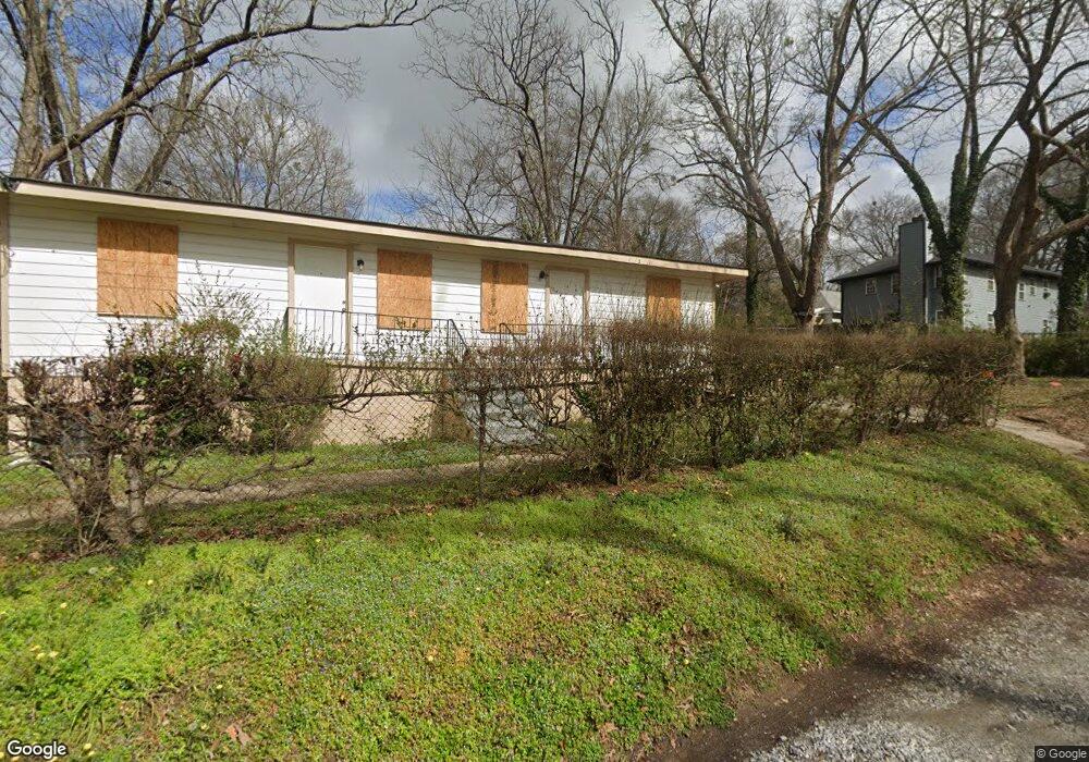
579 Simmons St NW Atlanta, GA 30318
Bankhead NeighborhoodEstimated Value: $153,000 - $221,000
2
Beds
1
Bath
920
Sq Ft
$193/Sq Ft
Est. Value
About This Home
This home is located at 579 Simmons St NW, Atlanta, GA 30318 and is currently estimated at $177,866, approximately $193 per square foot. 579 Simmons St NW is a home located in Fulton County with nearby schools including Michael R. Hollis Innovation Academy, Booker T. Washington High School, and KIPP WAYS Academy.
Ownership History
Date
Name
Owned For
Owner Type
Purchase Details
Closed on
Jun 29, 2021
Sold by
Slaton G W
Bought by
Canopy West Llc
Current Estimated Value
Home Financials for this Owner
Home Financials are based on the most recent Mortgage that was taken out on this home.
Original Mortgage
$112,495
Interest Rate
2.9%
Mortgage Type
Commercial
Purchase Details
Closed on
May 30, 2014
Sold by
Smith Sarah W
Bought by
Sheffield Michael Dean
Create a Home Valuation Report for This Property
The Home Valuation Report is an in-depth analysis detailing your home's value as well as a comparison with similar homes in the area
Home Values in the Area
Average Home Value in this Area
Purchase History
| Date | Buyer | Sale Price | Title Company |
|---|---|---|---|
| Canopy West Llc | $120,000 | -- | |
| Sheffield Michael Dean | -- | -- | |
| Slaton G W | $6,000 | -- |
Source: Public Records
Mortgage History
| Date | Status | Borrower | Loan Amount |
|---|---|---|---|
| Closed | Canopy West Llc | $112,495 |
Source: Public Records
Tax History Compared to Growth
Tax History
| Year | Tax Paid | Tax Assessment Tax Assessment Total Assessment is a certain percentage of the fair market value that is determined by local assessors to be the total taxable value of land and additions on the property. | Land | Improvement |
|---|---|---|---|---|
| 2025 | $1,316 | $66,760 | $46,280 | $20,480 |
| 2023 | $1,707 | $41,240 | $27,760 | $13,480 |
| 2022 | $952 | $41,240 | $27,760 | $13,480 |
| 2021 | $257 | $23,520 | $12,240 | $11,280 |
| 2020 | $828 | $20,200 | $12,080 | $8,120 |
| 2019 | $483 | $10,640 | $7,400 | $3,240 |
| 2018 | $358 | $8,640 | $7,000 | $1,640 |
| 2017 | $112 | $2,600 | $1,000 | $1,600 |
| 2016 | $113 | $2,600 | $1,000 | $1,600 |
| 2015 | $574 | $2,600 | $1,000 | $1,600 |
| 2014 | $4 | $2,600 | $1,000 | $1,600 |
Source: Public Records
Map
Nearby Homes
- 935 Pelham St NW
- 550 Joseph E Lowery Blvd NW
- 1430 North Ave NW
- 902 Pelham St NW
- 900 Pelham St NW
- 1048 Claudette Colvin Ct
- 860 Fox St NW
- 525 Oliver St NW
- 523 Oliver St NW
- 556 Paines Ave NW
- 461 Lindsay St NW
- 554 Paines Ave NW
- 964 Neal St NW
- 0 Oliver St NW Unit 7597884
- 0 Oliver St NW Unit 10533670
- 655 Paines Ave NW
- 704 Banton Dr NW
- 687 Banton Dr NW
- 583 Simmons St NW
- 577 Simmons St NW
- 589 Simmons St NW
- 569 Simmons St NW
- 582 Cairo St NW
- 584 Cairo St NW
- 580 Simmons St NW
- 590 Cairo St NW
- 565 Simmons St NW
- 565 Simmons St NW Unit 81
- 584 Simmons St NW
- 590 Simmons St NW
- 576 Simmons St NW
- 594 Cairo St NW
- 599 Simmons St NW
- 561 Simmons St NW
- 572 Simmons St NW
- 996 Pelham St NW
- 557 Simmons St NW
- 598 Simmons St NW