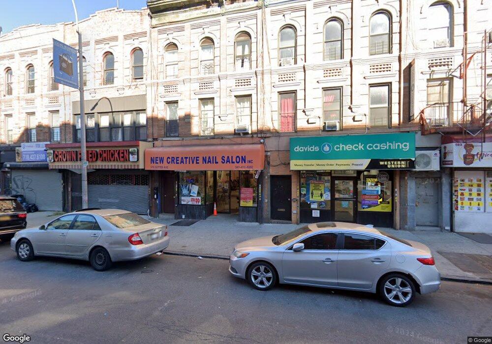
579 Sutter Ave Brooklyn, NY 11207
Brownsville NeighborhoodEstimated Value: $1,079,880
Studio
--
Bath
2,820
Sq Ft
$383/Sq Ft
Est. Value
About This Home
This home is located at 579 Sutter Ave, Brooklyn, NY 11207 and is currently estimated at $1,079,880, approximately $382 per square foot. 579 Sutter Ave is a home located in Kings County with nearby schools including P.S. 328 - Phyllis Wheatley, J.H.S 292 Margaret S. Douglas, and Brownsville Collegiate Charter School.
Ownership History
Date
Name
Owned For
Owner Type
Purchase Details
Closed on
Nov 4, 2016
Sold by
Wang Yu Huan and Wang Yu Min
Bought by
Amethyst Equity Llc
Current Estimated Value
Home Financials for this Owner
Home Financials are based on the most recent Mortgage that was taken out on this home.
Original Mortgage
$525,000
Outstanding Balance
$421,484
Interest Rate
3.42%
Mortgage Type
Commercial
Estimated Equity
$658,396
Create a Home Valuation Report for This Property
The Home Valuation Report is an in-depth analysis detailing your home's value as well as a comparison with similar homes in the area
Home Values in the Area
Average Home Value in this Area
Purchase History
| Date | Buyer | Sale Price | Title Company |
|---|---|---|---|
| Amethyst Equity Llc | $700,000 | -- |
Source: Public Records
Mortgage History
| Date | Status | Borrower | Loan Amount |
|---|---|---|---|
| Open | Amethyst Equity Llc | $525,000 |
Source: Public Records
Tax History
| Year | Tax Paid | Tax Assessment Tax Assessment Total Assessment is a certain percentage of the fair market value that is determined by local assessors to be the total taxable value of land and additions on the property. | Land | Improvement |
|---|---|---|---|---|
| 2025 | $4,677 | $50,700 | $8,580 | $42,120 |
| 2024 | $4,677 | $47,340 | $8,580 | $38,760 |
| 2023 | $4,597 | $48,840 | $8,580 | $40,260 |
| 2022 | $4,467 | $42,240 | $8,580 | $33,660 |
| 2021 | $4,551 | $37,080 | $8,580 | $28,500 |
| 2019 | $4,060 | $32,760 | $8,580 | $24,180 |
| 2018 | $3,548 | $18,864 | $5,929 | $12,935 |
| 2017 | $3,502 | $18,648 | $6,289 | $12,359 |
| 2016 | $3,293 | $18,022 | $7,301 | $10,721 |
| 2015 | $1,902 | $17,002 | $8,270 | $8,732 |
| 2014 | $1,902 | $16,173 | $7,365 | $8,808 |
Source: Public Records
Map
Nearby Homes
- 472 Sutter Ave
- 353 Pennsylvania Ave
- 317 Pennsylvania Ave
- 392 New Jersey Ave Unit 3921
- 444 New Jersey Ave
- 440 Blake Ave
- 439 Vermont St
- 504 Vermont St
- 342 Wyona St
- 412 Bradford St
- 525 Alabama Ave
- 239 New Jersey Ave
- 440 Miller Ave
- 105 Belmont Ave
- 243 Wyona St
- 45 Hinsdale St
- 443 Miller Ave
- 461 Miller Ave
- 200 New Jersey Ave
- 774 Blake Ave
- 581 Sutter Ave
- 577 Sutter Ave Unit 3
- 577 Sutter Ave
- 575 Sutter Ave
- 583 Sutter Ave
- 587 Sutter Ave
- 571 Sutter Ave
- 300 Georgia Ave
- 589 Sutter Ave
- 569 Sutter Ave Unit 2C
- 569 Sutter Ave
- 567 Sutter Ave Unit 3B
- 567 Sutter Ave
- 567 Sutter Ave Unit 2
- 567 Sutter Ave Unit 1
- 567 Sutter Ave Unit 3C
- 567 Sutter Ave Unit 3A
- 567 Sutter Ave Unit 2A
- 593 Sutter Ave
- 595 Sutter Ave Unit 3
Your Personal Tour Guide
Ask me questions while you tour the home.