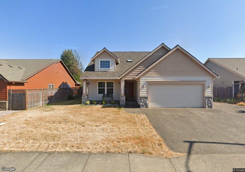
579 West Ln Molalla, OR 97038
Estimated Value: $529,000 - $728,000
4
Beds
3
Baths
2,570
Sq Ft
$233/Sq Ft
Est. Value
About This Home
This home is located at 579 West Ln, Molalla, OR 97038 and is currently estimated at $599,373, approximately $233 per square foot. 579 West Ln is a home located in Clackamas County with nearby schools including Country Christian School and Oregon Outreach - Molalla Pride.
Ownership History
Date
Name
Owned For
Owner Type
Purchase Details
Closed on
Oct 9, 2024
Sold by
Mclouth Dale E and Mclouth Joy M
Bought by
Dale And Joy Mclouth Trust and Mclouth
Current Estimated Value
Purchase Details
Closed on
Oct 10, 2006
Sold by
Charles Clark Construction Ltd
Bought by
Mclouth Dale E and Mclouth Joy
Home Financials for this Owner
Home Financials are based on the most recent Mortgage that was taken out on this home.
Original Mortgage
$110,000
Interest Rate
6.44%
Mortgage Type
Credit Line Revolving
Create a Home Valuation Report for This Property
The Home Valuation Report is an in-depth analysis detailing your home's value as well as a comparison with similar homes in the area
Home Values in the Area
Average Home Value in this Area
Purchase History
| Date | Buyer | Sale Price | Title Company |
|---|---|---|---|
| Dale And Joy Mclouth Trust | -- | None Listed On Document | |
| Dale And Joy Mclouth Trust | -- | None Listed On Document | |
| Mclouth Dale E | $315,000 | Transnation Title Agency Or |
Source: Public Records
Mortgage History
| Date | Status | Borrower | Loan Amount |
|---|---|---|---|
| Previous Owner | Mclouth Dale E | $110,000 | |
| Previous Owner | Mclouth Dale E | $175,000 |
Source: Public Records
Tax History Compared to Growth
Tax History
| Year | Tax Paid | Tax Assessment Tax Assessment Total Assessment is a certain percentage of the fair market value that is determined by local assessors to be the total taxable value of land and additions on the property. | Land | Improvement |
|---|---|---|---|---|
| 2025 | $5,569 | $290,694 | -- | -- |
| 2024 | $5,383 | $282,228 | -- | -- |
| 2023 | $5,383 | $274,008 | $0 | $0 |
| 2022 | $4,438 | $266,028 | $0 | $0 |
| 2021 | $4,256 | $258,280 | $0 | $0 |
| 2020 | $4,137 | $250,758 | $0 | $0 |
| 2019 | $4,017 | $243,455 | $0 | $0 |
| 2018 | $3,905 | $236,364 | $0 | $0 |
| 2017 | $3,744 | $229,480 | $0 | $0 |
| 2016 | $3,549 | $222,796 | $0 | $0 |
| 2015 | $3,449 | $216,307 | $0 | $0 |
| 2014 | $3,341 | $210,007 | $0 | $0 |
Source: Public Records
Map
Nearby Homes
- 0 W Main St Unit 765814723
- 862 Bear Creek Dr
- 13434 S Lowe Rd
- 208 W Heintz St Unit 2
- 416 Kennel Ave
- 205 W Heintz St Unit 708
- 900 Bear Creek Dr
- 902 S View Dr
- 121 W Ross St
- 340 Doug Fir Ln
- 206 S Molalla Ave
- 1014 S View Dr
- 3 Revilot Ct
- 118 Engle Ave
- 123 Shirley St
- 871 Mary Dr
- 947 Meadowlark Place
- 1341 Rachel Ln
- 1121 Rachel Ln
- 1101 Rachel Ln